 Alberta
Wasootch Ridge
Introduction
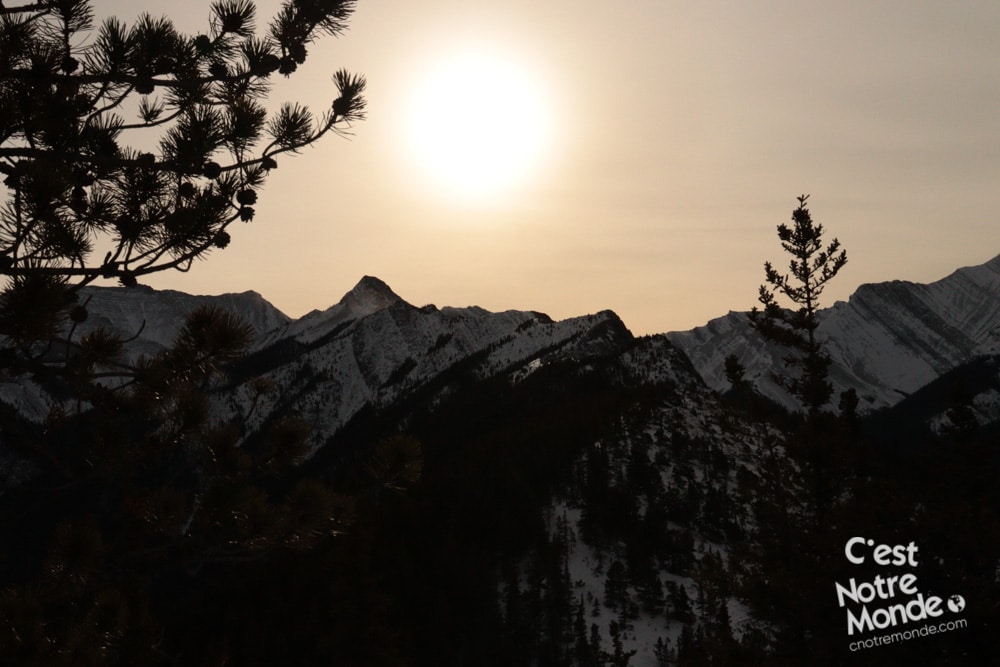
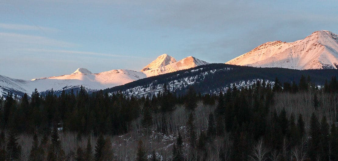
Located in Elbow-Sheep Wildland Provincial Park, Wasootch ridge offers a challenging but defined 5km hike along its ridge for a beautiful panoramic view on the surrounding mountains. Those who are more adventurous may choose to continue on toward an exposed scramble, taking you to the top of the ridge (although this is not advised in winter, or when wet and windy). The word Wasootch means “unique” in the Nakoda language. It is indeed an out-of-the-ordinary trail that will surprise you by its beauty. A must do in the region!
3D interactive map
Getting to Elbow-Sheep Wildland Provincial Park
Parking access to Wasootch Ridge hike: https://goo.gl/maps/Ap8CMnr5oquiBx4v5
From Calgary: 92 km – 1h05 driving time
Take the Trans-Canada hwy AB-1 West toward Banff for 50 km until the 118 exit toward Kananaskis Country. Follow the AB-40 South for 18 km. The ‘Wasootch Day Use Area parking Lot’ will be on your left. This will be your starting point.
Helpful Information
To enjoy your hike, you must:
Be Equipped: Hiking boots are a necessity. A steep section of the hike (easy scramble) requires ankle protection. Hiking poles are also recommended on your way down. Grizzlies are usually present in the area, therefore bear spray should be easily accessible in the case of unexpected encounters. Finally, always bring water and food in sufficient quantities.
Parking:The large Wasootch Day Use Area parking lot is free.
Information: Access to Kananaskis Country is not free. You will need to register your vehicle(s) online on the Kananaskis park website and purchase a daily or annual pass. Note that the fees are per vehicle and not per hiker, so carpooling is an option. Be mindful of the forecast and visit the park’s website before your hike to find up to date information such as last seen wildlife, trail conditions, etc.
The Hike
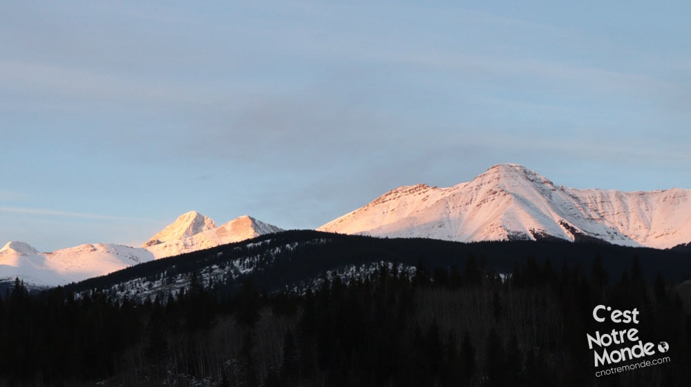
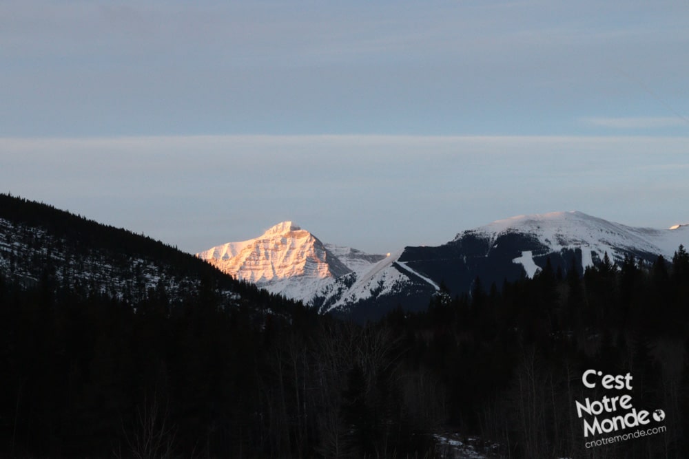
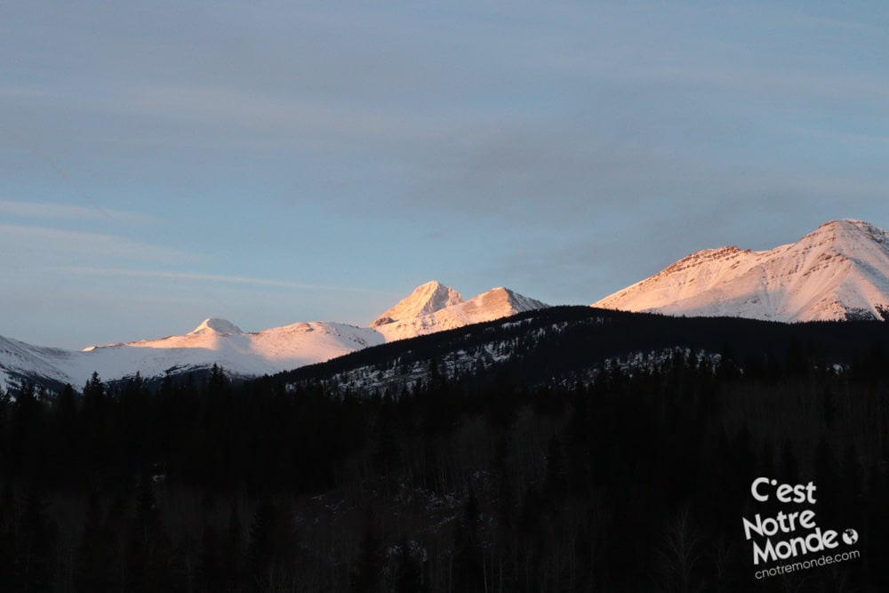
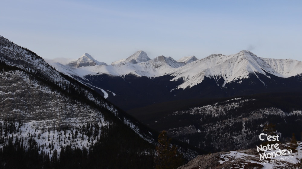
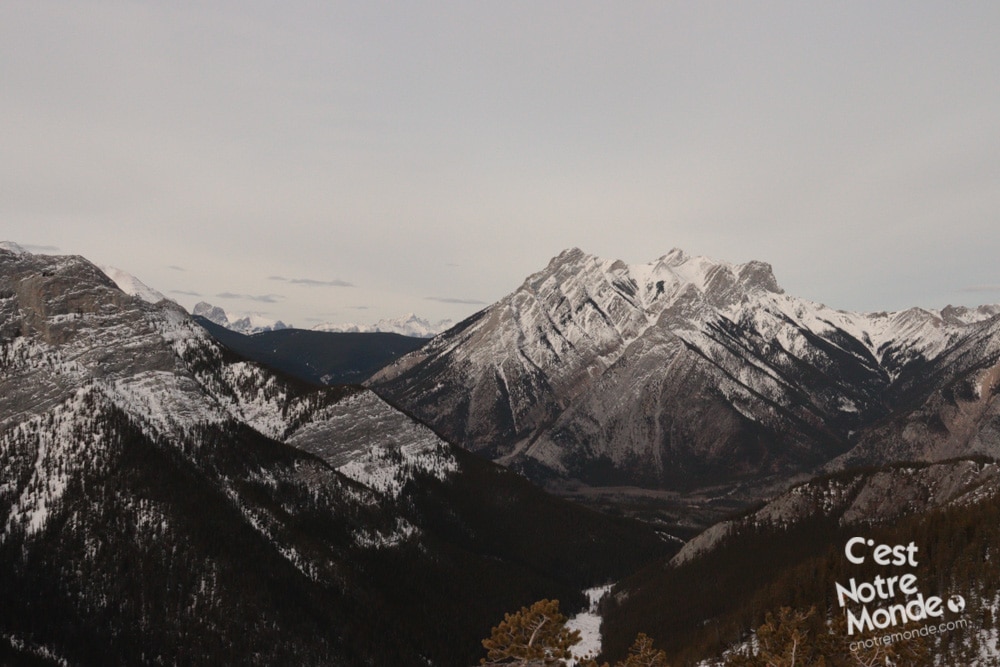
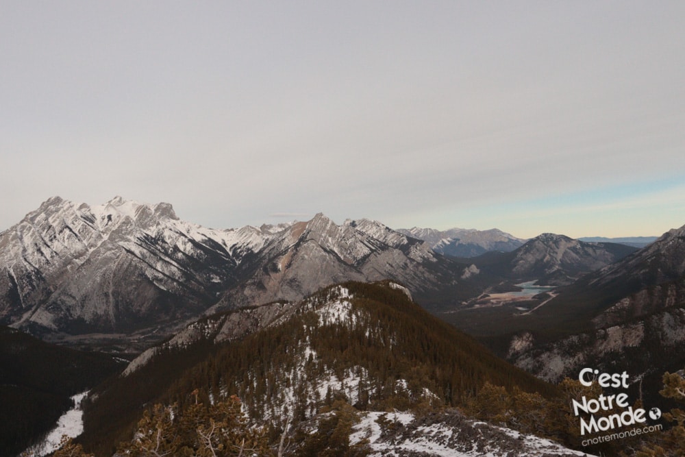
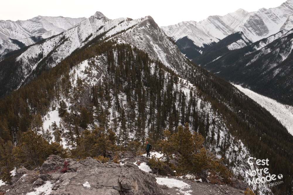
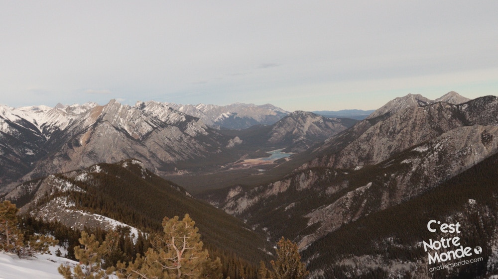
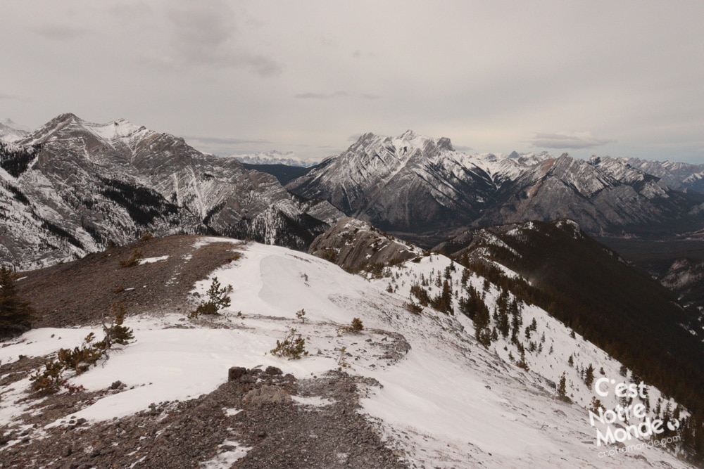
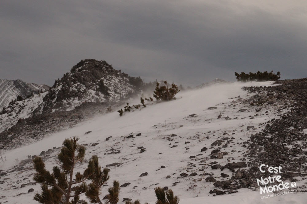
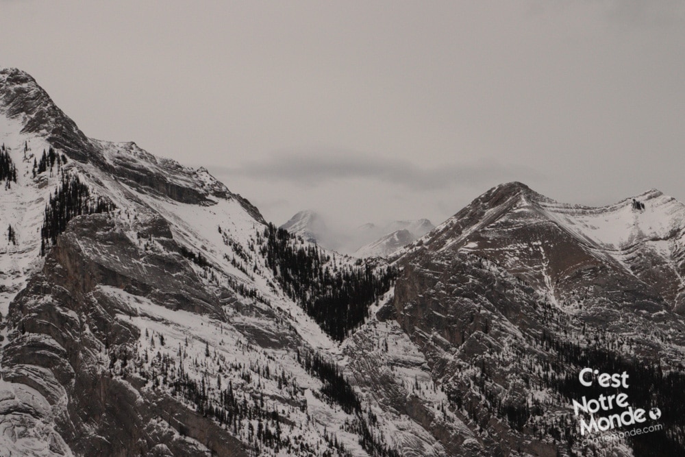
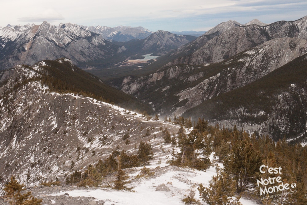
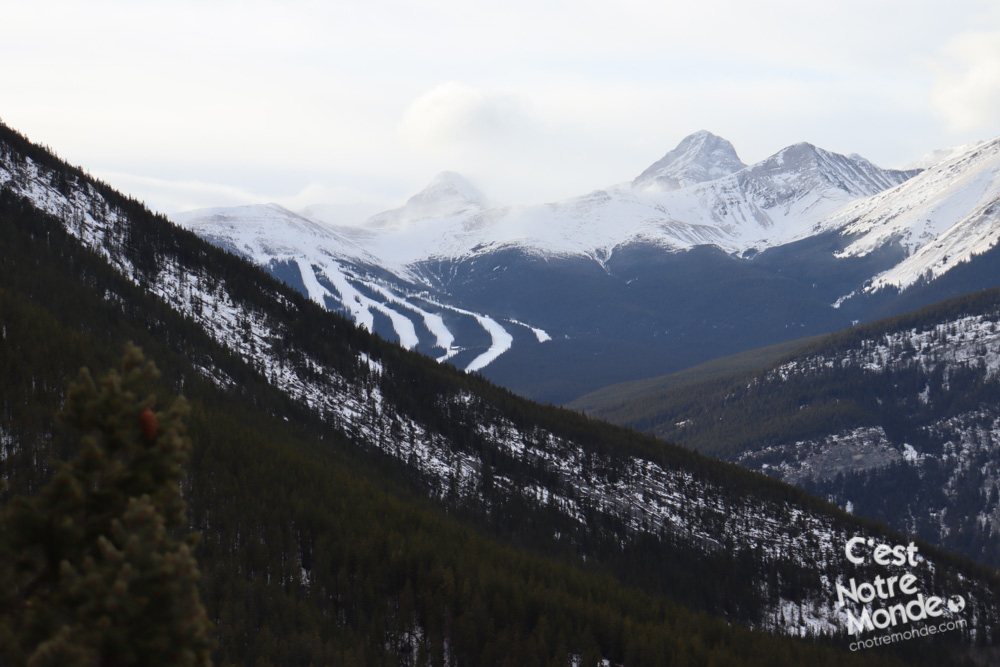
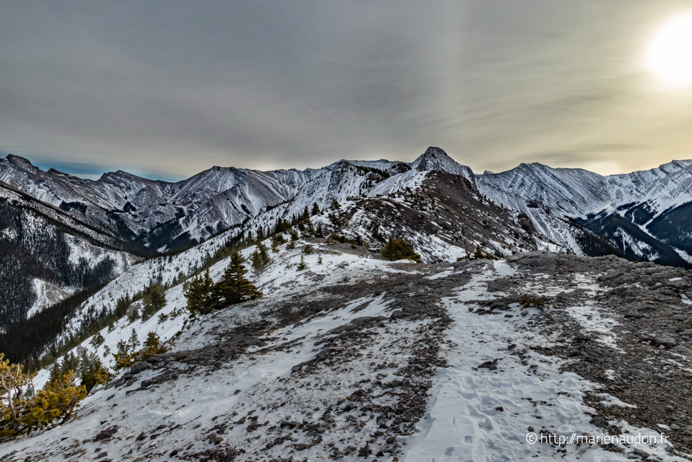
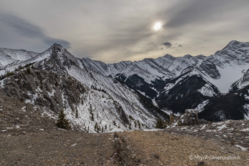
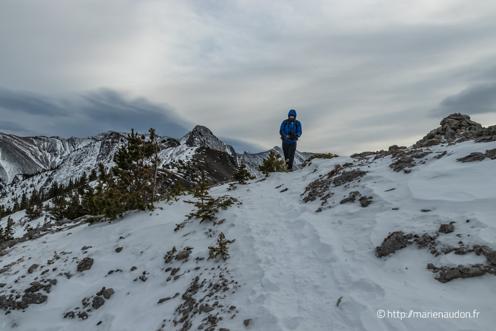
The trail begins with a steep climb in the forest. After approximately 2km (1.3 mi), you will leave the forest cover and reach the ridge. Here, you will be able to see the entire ridge and its final peak, accessible if you decide to undertake the final scramble to the top (optional). The ridge itself includes several up and down sections following the relief. This can be demanding so manage your effort. However, the panorama is breathtaking! Mountains as far as the eye can see. It is even possible to view the top of Mount Rundle at a certain point.
The panorama is breathtaking! Mountains as far as the eye can see!
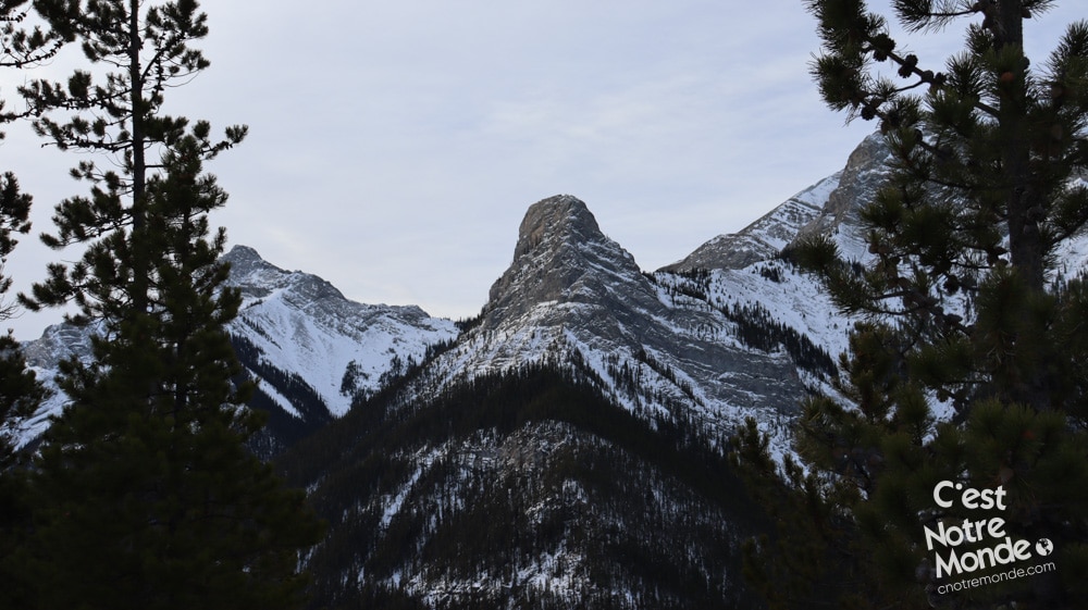
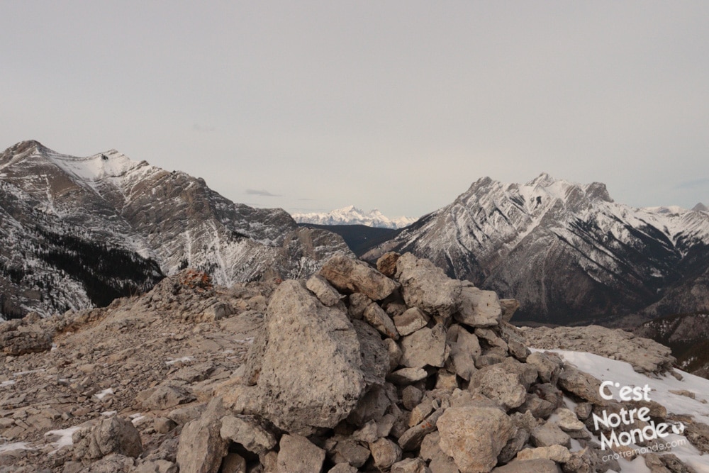
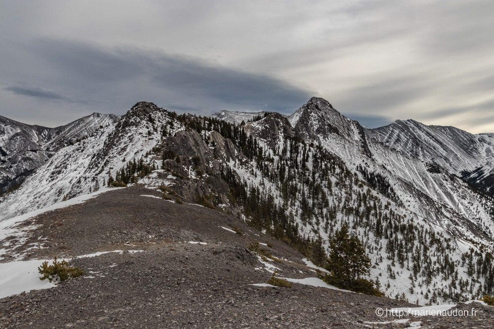
After another 2.8km (1.74mi), you will reach an easy scramble where you will need to climb a few non-exposed rocks, followed by more exposed sections. Although short, this part can be intimidating and will certainly add some excitement to your hike. Further on, you will reach a platform with a rock bench, the final stop before the serious scramble to the top. From here, you can retrace your steps to return to the parking lot (5.5km – 3mi away).
The word Wasootch means “unique” in the Nakoda language (Stoney people)!
For those who decide to continue, a fairly exposed “trail” will take you to the top of the ridge. This is an optional 2km (1.3 mi) that should only be undertaken by experienced scramblers on a dry day without wind (especially not during winter). We did this hike in November and decided not to continue due to the snow, ice, and wind on the ridge. But, this gives us an excuse to come back in the summer…like if we needed one!
TO KNOW
Interest
Difficulty
Distance
Around 11 km / 6.83 miles (Without the final scrambling part)
Around 13,2 km / 8.17 miles (With the final scrambling part)
Duration
Around 4 at 5 hours
Elevation
2330 mètres / 7645 feet
Height difference
730 mètres / 2397 feet (Without the final scrambling part)
934 mètres / 3065 feet (With the final scrambling part)
Useful informations
See on Caltopo (detailed)
See on Google Maps (basic)
Liens utiles
Website:https://www.albertaparks.ca/
Parking:https://goo.gl/maps/ADG9qA7nmcJ486KRA
Weather forecast:https://weather.gc.ca/city/pages/ab-34_metric_e.html
GPX link : https://www.cnotremonde.com/gpx/Wasootch-Ridge-AB-cestnotremonde.gpx