 Alberta
Prairie Mountain
Introduction
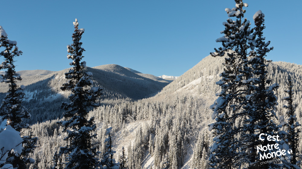
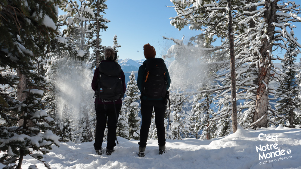
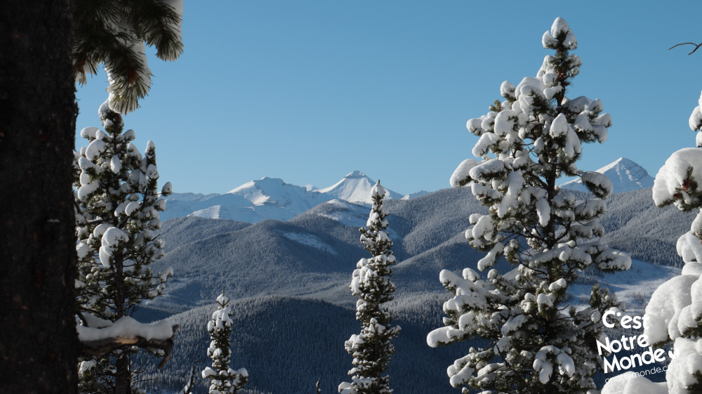
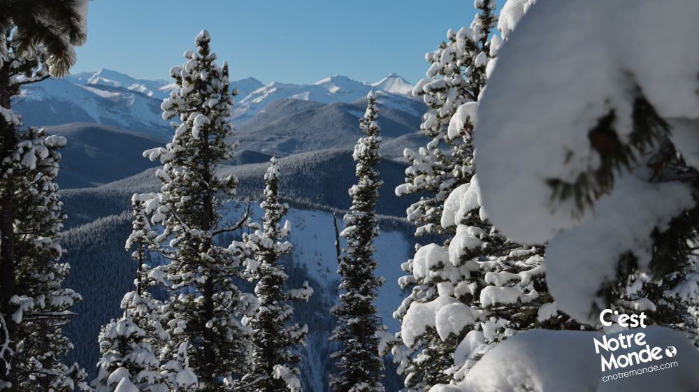
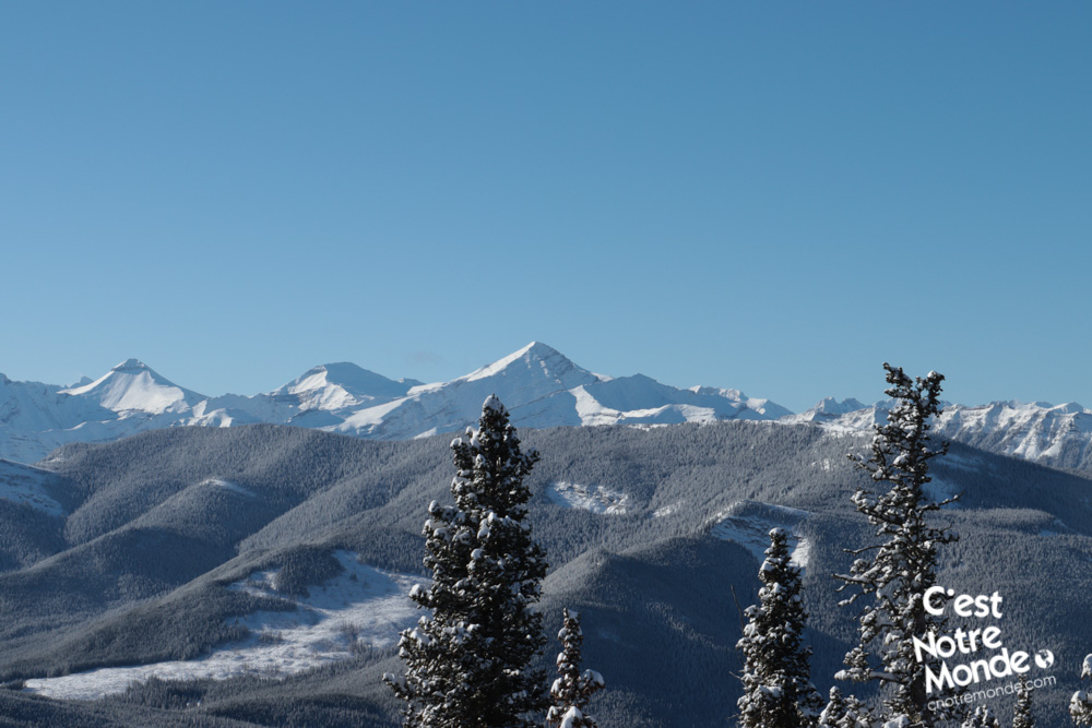
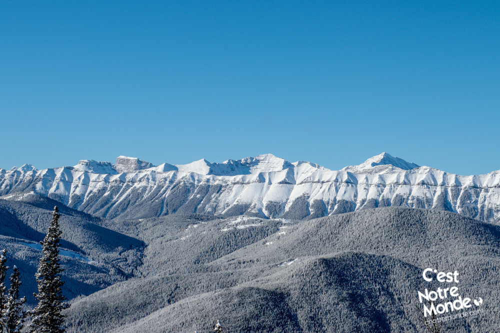
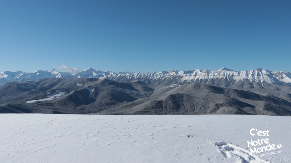
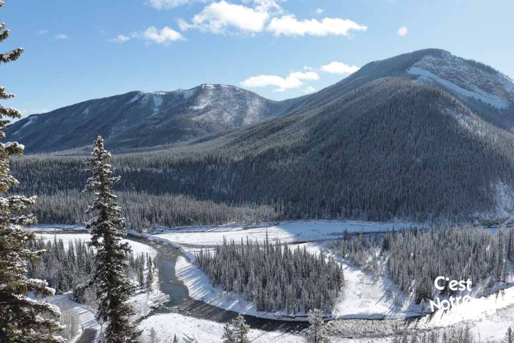
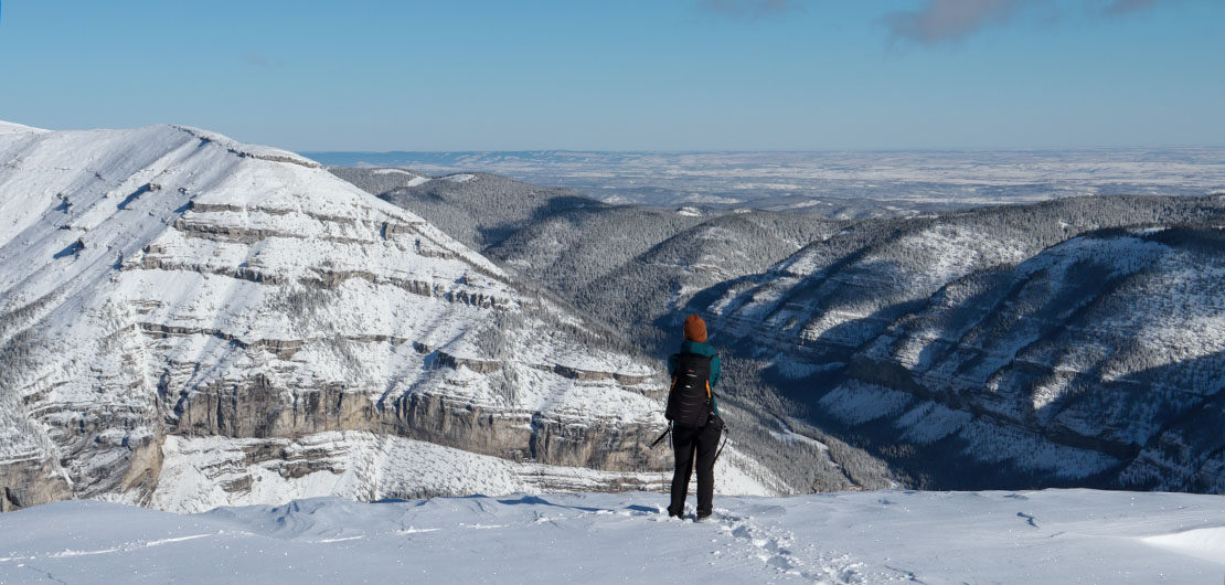
At 2210 meters, Prairie Mountain offers beautiful viewpoints of the Rockies in the Kananaskis region. Although it is a consistent climb to the top, this hike presents no technical difficulties and can be easily done in winter. With a 360 degree view of the region at its peak, this hike deserves a visit. C’est Notre Monde will show you the way.
3D interactive map
Getting to Kananaskis Country Public Land Use Zone
Prairie Mountain Hike Parking Access: https://goo.gl/maps/sgUqcEEx8BgmhNCJ8
From Calgary: 67 km – 50 min driving time
From the Trans-Canada hwy AB-1 West toward Banff, take exit 118 toward Bragg Creek. Follow the AB-22 South (Cowboy Trail) until the end of the road (for approximately 21 km). Turn right on the AB-66 West and follow this road until you reach a sign that indicates the Forgetmenot Pond parking lot, about 18.5 km away.
Helpful information
To enjoy your hike, you must:
Be Equipped: Hiking boots are a necessity. Grizzlies are usually present in the area, therefore bear spray should be easily accessible in the case of unexpected encounters. Always bring water and food in sufficient quantities.
Parking: The free parking lot is located at the end of a short gravel road.
Information: Access to Kananaskis Country is not free. You will need to register your vehicle(s) online on the Kananaskis park website and purchase a daily or annual pass. Note that the fees are per vehicle and not per hiker, so carpooling is an option. Be mindful of the forecast and visit the park’s website before your hike to find up to date information such as last seen wildlife, trail conditions, etc.
The Hike
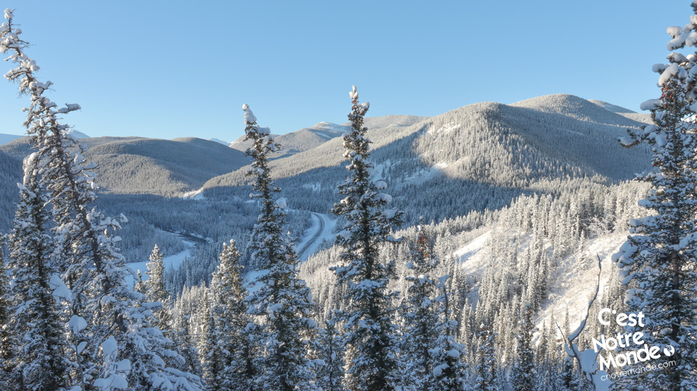
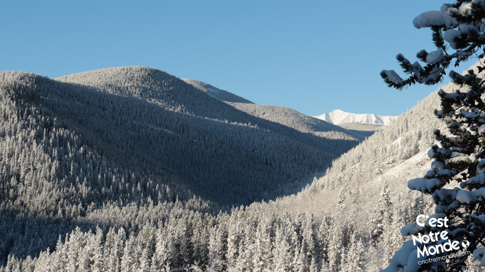
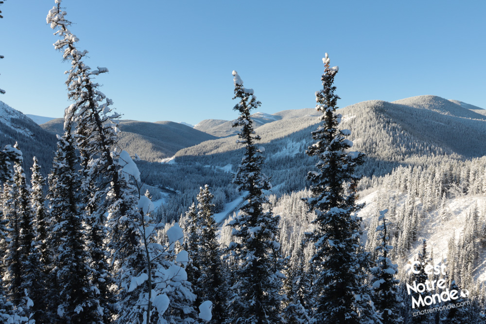
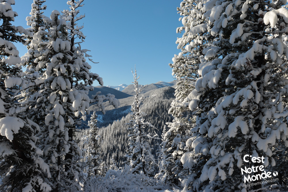
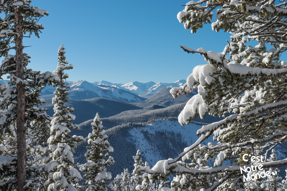
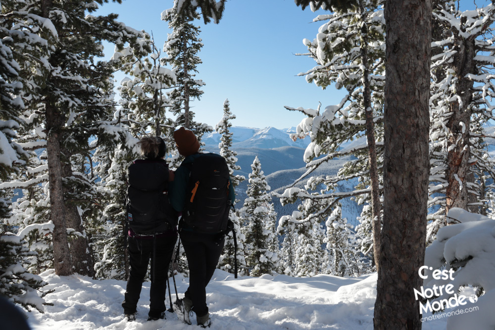
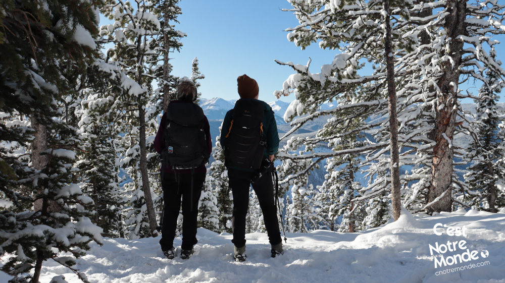
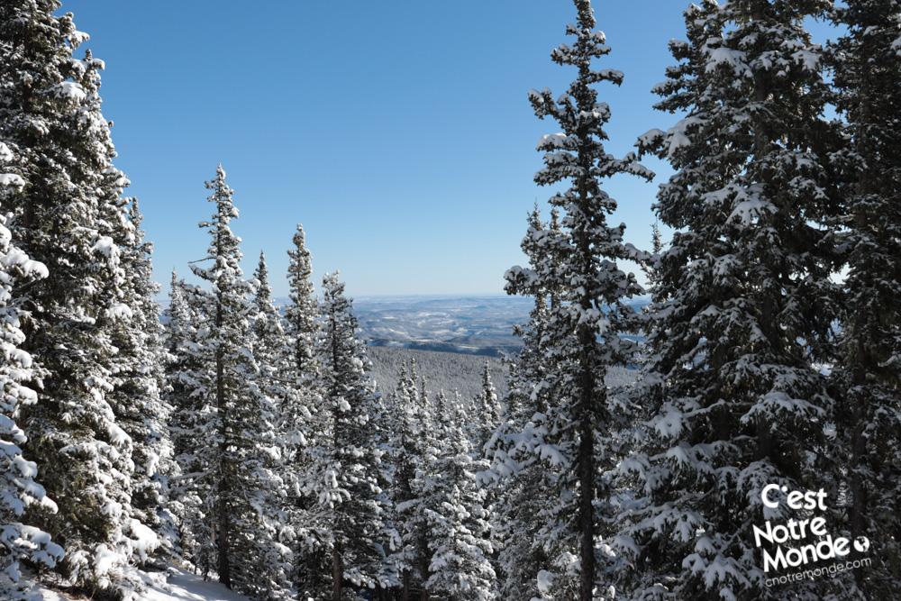
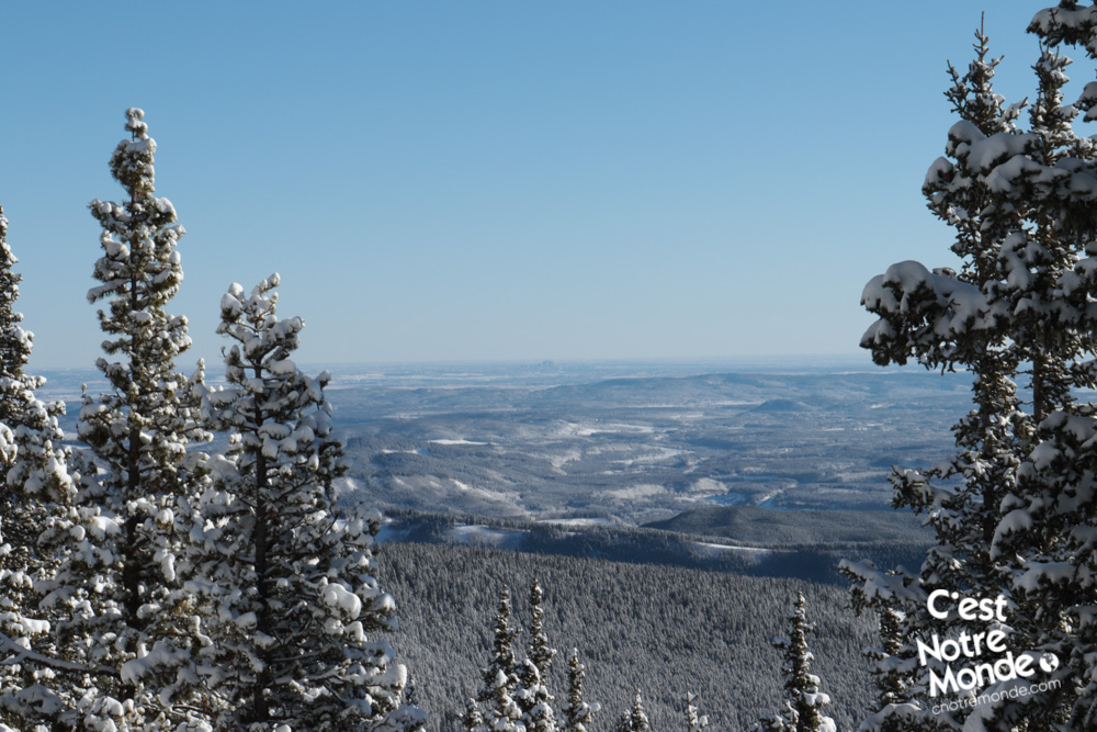
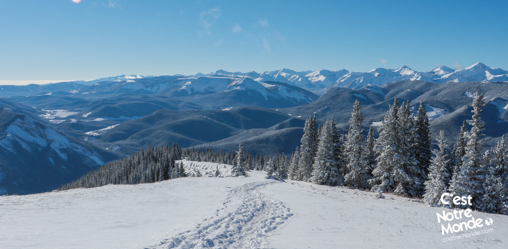
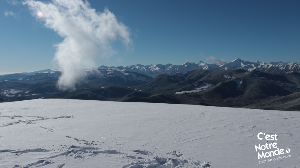
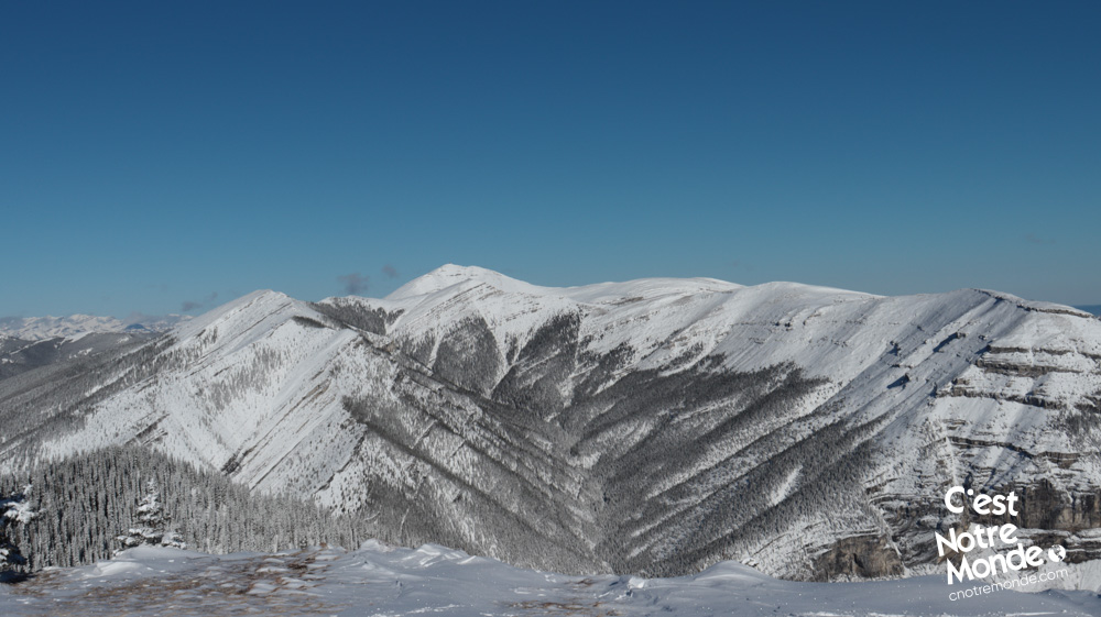
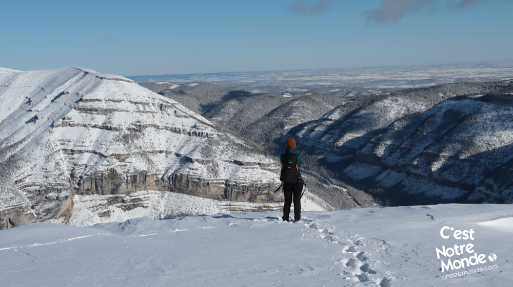
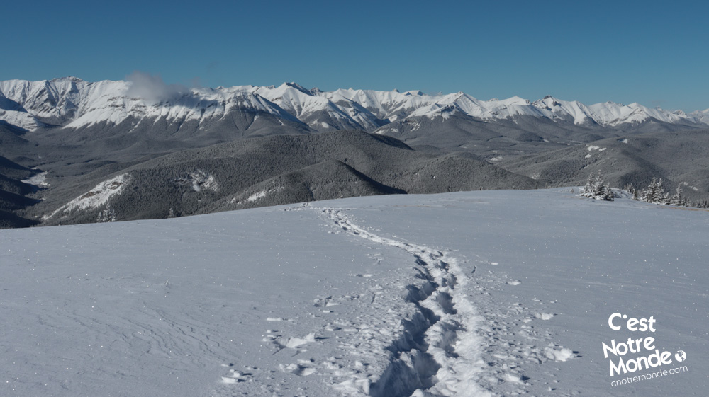
The hike Prairie Mountain starts along the AB-66 road for a few meters before climbing abruptly in the forest. Note that this hike is mainly tree-covered without many viewpoints before the summit ridge. The trail climbs constantly with a few vertical sections in the first 2.5km. You will then reach a large uncovered ridge leading to the summit offering a beautiful view of the prairies and the Rockies.
At 2210 meters, Prairie Mountain offers beautiful viewpoints of the Rockies in the Kananaskis region.
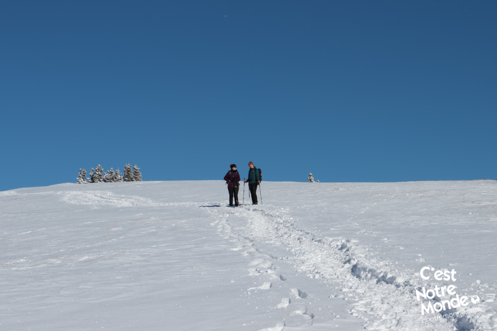
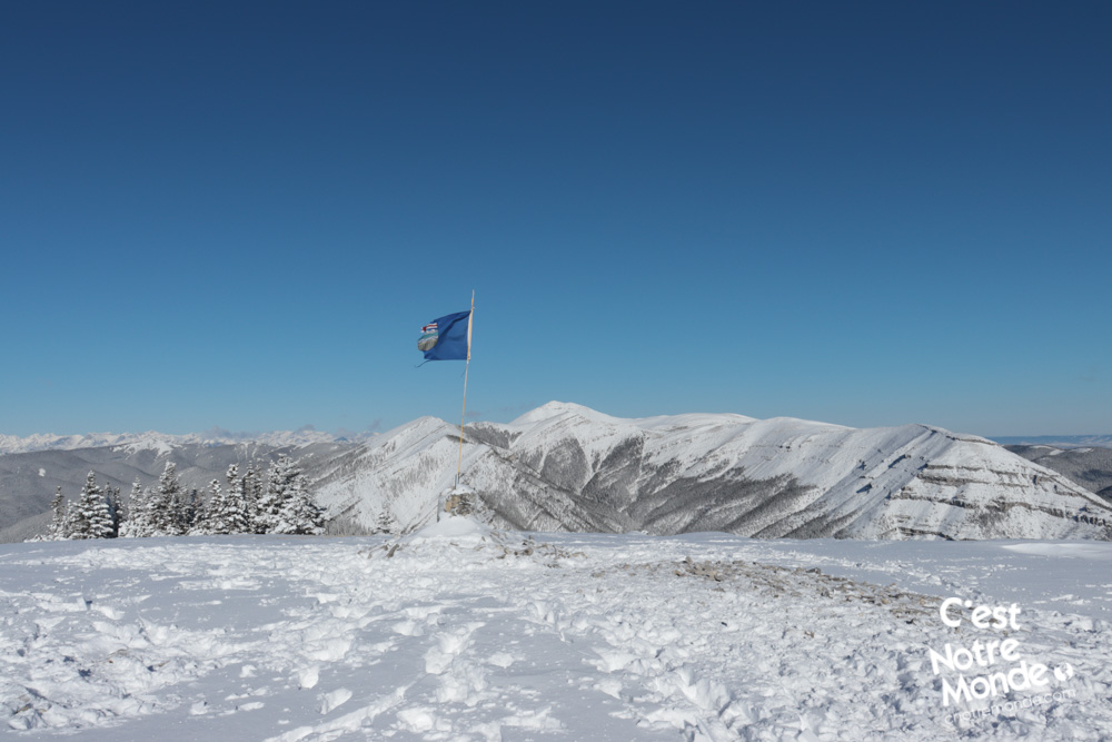
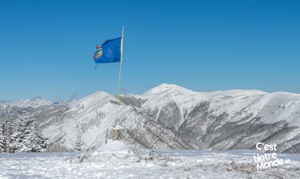
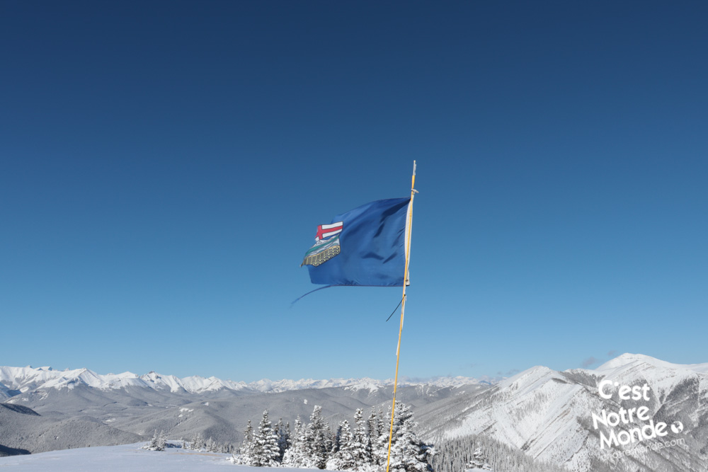
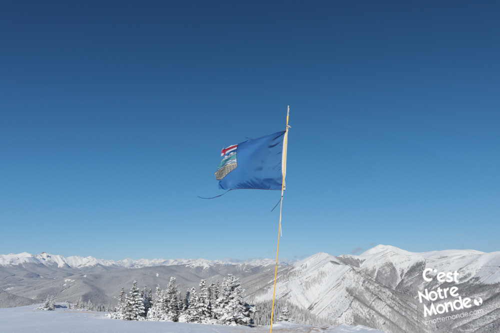
After a total of 3.3 km you will reach the summit, easily identifiable with a flag (either the provincial flag of Alberta or the Canadian flag). The top of Prairie Mountain is the perfect place for a panoramic picnic!
We would suggest Prairie Mountain for the winter season for the snow creates a real winter wonderland. Snowshoes or crampons recommended!
Retrace your steps to return to the parking lot.
TO KNOW
Interest
Difficulty
Distance
Approximately 6,6 km / 4.1 miles
Duration
3 hours
Elevation
2210 meters / 7250 feet
Height difference
Around 675 meters / 2215 feet
Useful informations
See on Caltopo (detailed)
See on Google Maps (basic)
Useful links
Website: https://www.albertaparks.ca/parks/kananaskis/kananaskis-country/
Parking: https://goo.gl/maps/sgUqcEEx8BgmhNCJ8
Weather forecast: https://www.mountain-forecast.com/peaks/Moose-Mountain-Alberta/forecasts/2437
Download GPX: https://www.cnotremonde.com/gpx/Prairie-Mountain-AB-cestnotremonde.gpx