 Alberta
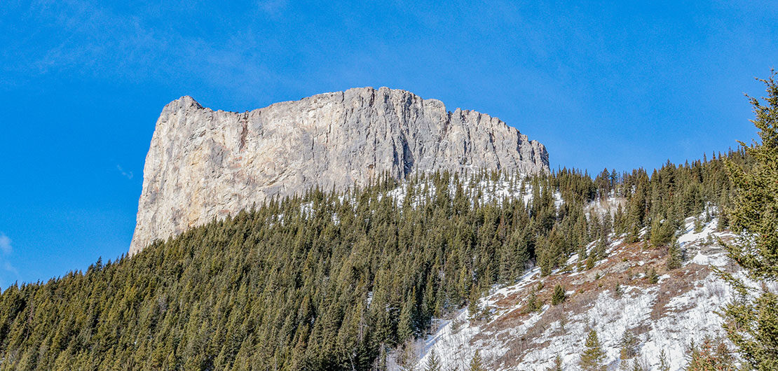
Mount Yamnuska – Overcome your fear of heights
Introduction
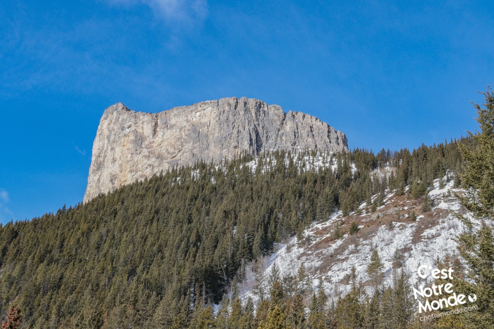
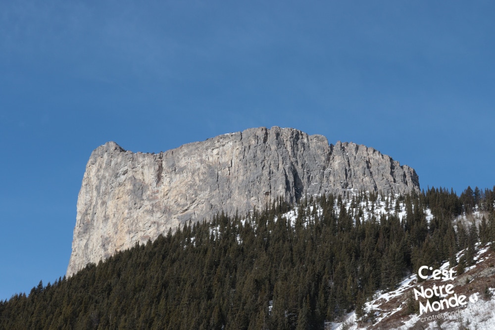
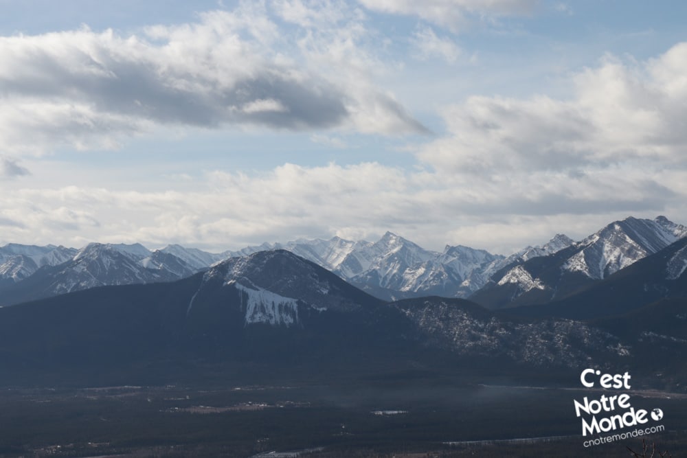
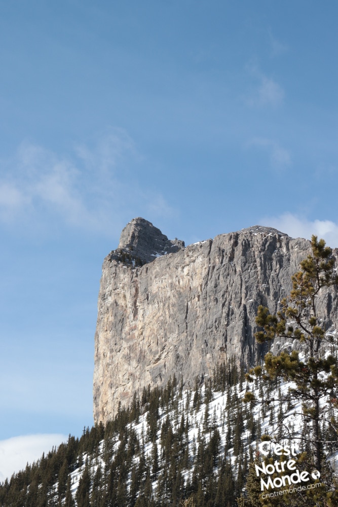
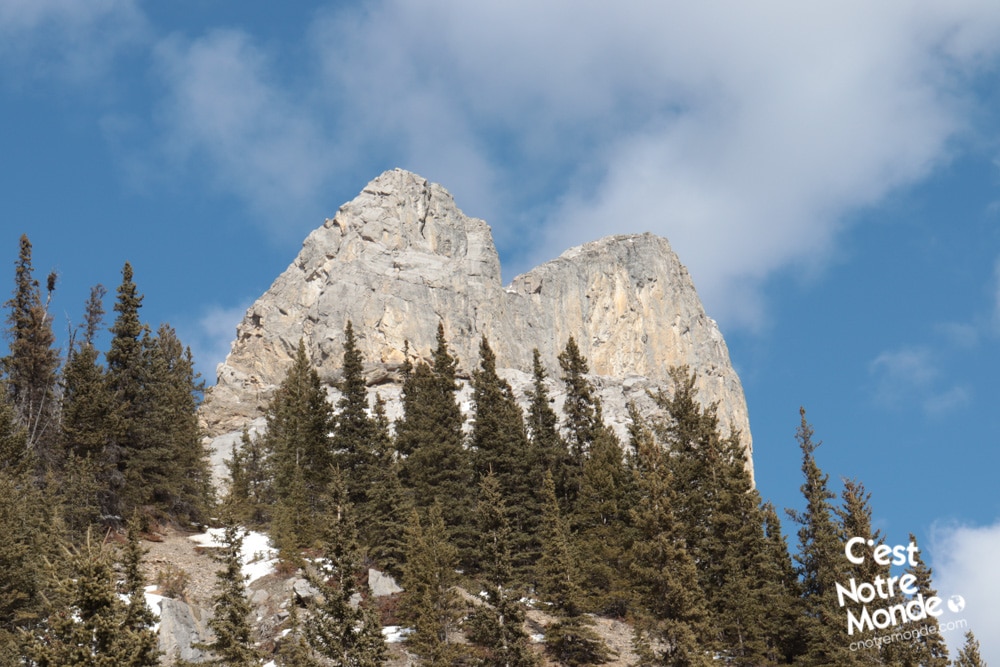
Looking for a new hiking challenge? Let us tell you about Mount Yamnuska! This massive rock wall of 2200 meters can be seen right at the entrance of the Canadian Rockies. In the Stoney language, Yamnuska (Îyâmnathka) means “wall of Stone”. It is also called Mount Laurie, in memory of John Laurie, one of the founders of the Indian Association of Alberta. This mountain offers a full hiking experience: from trails to scrambling, with exposed sections and a dizzying summit. Be aware, if you are scared of heights, this hike will definitely give you a cold sweat! The views, however, are breathtaking and worth the trip!
3D interactive map
Getting to Bow Valley Wildland Provincial Park
Mount Yamnuska Hike Parking Access: https://goo.gl/maps/QyF3ZyJa6AN2YgsB6
From Calgary: 85 km – 1h driving time
Take the Trans-Canada hwy AB-1 West toward Banff until exit 114 toward Seebe and Exshaw. Turn right on road 1X and continue until it ends, about 6km away. Turn right onto highway 1A and follow the road for 2 km. A sign will indicate the trailhead on the left.
Helpful information
To enjoy your hike, you must:
Be Equipped: Hiking boots are a necessity. A steep section of the hike (easy scramble) requires ankle protection. Hiking poles are also recommended on your way down. Grizzlies are present in the area, therefore bear spray should be easily accessible in the case of unexpected encounters. Finally, always bring water and food in sufficient quantities.
Parking: The free parking lot is located at the end of a short gravel road.
Information: Access to Kananaskis Country is not free. You will need to register your vehicle(s) online on the Kananaskis park website and purchase a daily or annual pass. Note that the fees are per vehicle and not per hiker, so carpooling is an option. Be mindful of the forecast and visit the park’s website before your hike to find up to date information such as last seen wildlife, trail conditions, etc.
The Hike
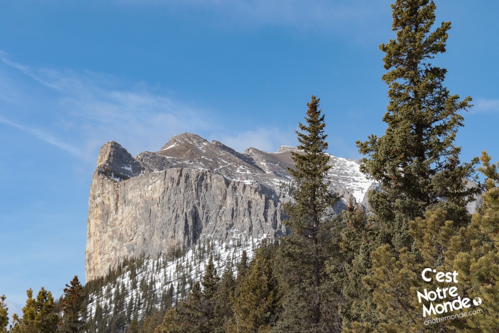
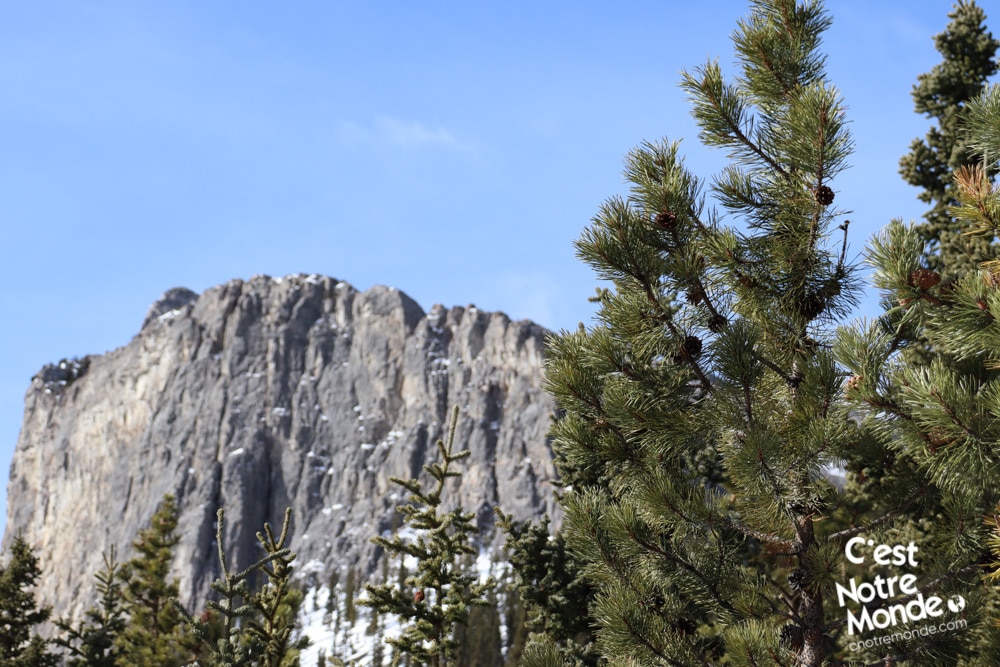
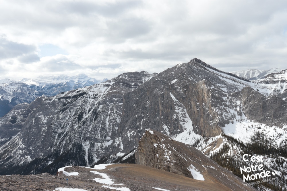
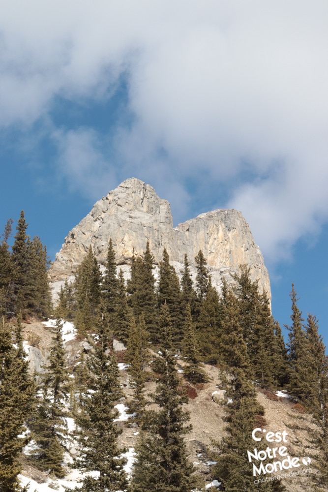
This hike begins on a tree covered trail that climbs moderately. After 850 meters (0.5 mi), you will find an intersection. We suggest taking the trail on your right which offers beautiful viewpoints of the Prairies while climbing. After 1.75km (1.1 mi), you will reach a tree covered ridge and start walking toward the impressive Yamnuska’s rock wall. Less than a kilometer further, you will get to “Raven’s End”, a checkpoint to inform you where the scrambling begins. At this point, you have already climbed 510m (1700ft). Ensure you have enough energy, water, and that the weather is cooperating before continuing your hike.
In Stoney language, Yamnuska (Îyâmnathka) means “wall of Stone”. It is also called Mount Laurie, in memory of John Laurie, one of the founders of the Indian Association of Alberta.
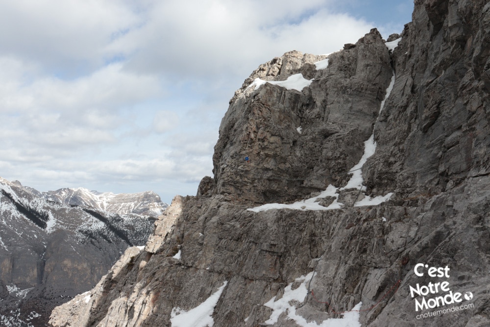
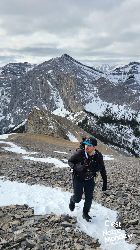
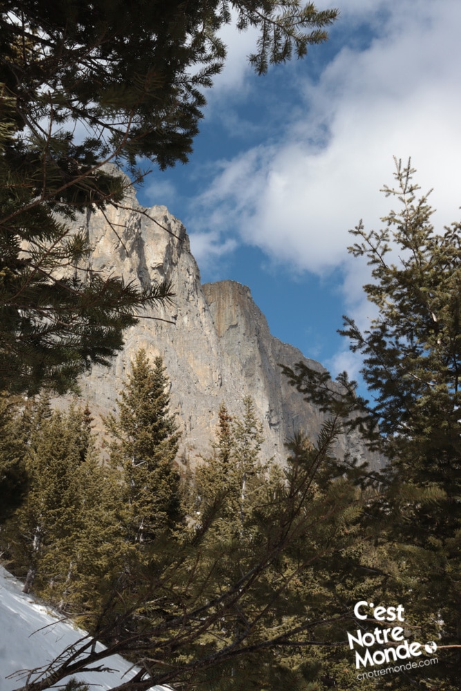
You are now entering an exposed, rocky section of the hike. The first step is to pass the “Chimney”, a steep and narrow path with no technical difficulties. The trail will then lead to more challenging areas that climb abruptly. After 1km, you will arrive at the famous “chains” anchored into the rock wall. Here, you walk along a rocky ledge with the chains for support for about 50 meters. It is pretty exposed so take your time!
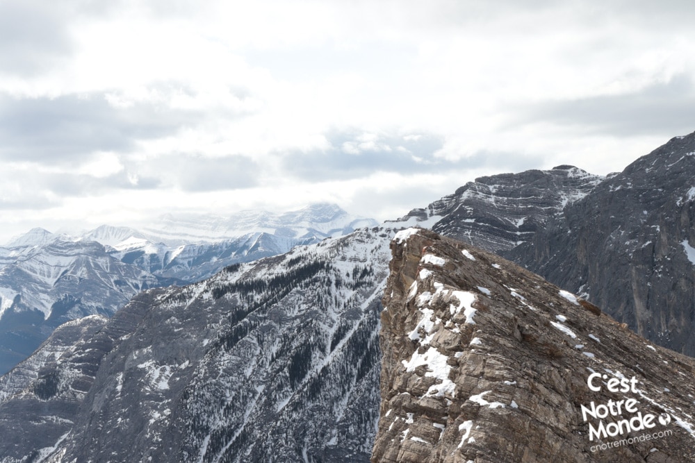
This mountain offers a full hiking experience: from trails to scrambling, with exposed sections and a dizzying summit. Be aware, if you are scared of heights, this hike will definitely give you a cold sweat! The views, however, are breathtaking and worth the trip!
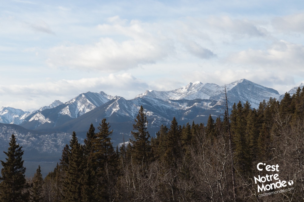
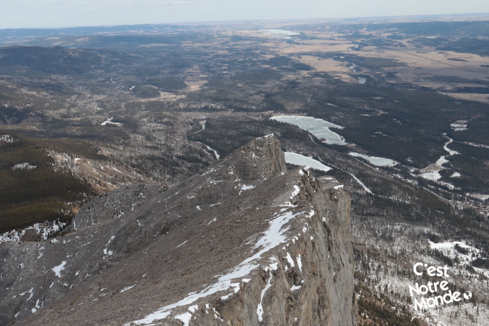
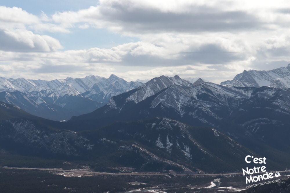
Once past this rocky ledge, you will continue through a few more exposed sections before the final push to the summit, where you will be blown away by the view! A peak with a breathtaking panorama. Prairies on the left and Rockies on the right. It feels like you are on top of the world. Take a well deserved break before continuing.
A peak with breathtaking panorama. Prairies on the left and Rockies on the right. It feels like you are on top of the world.
Good news! This hike is a loop, so no need to pass by the chains again. The trail descends through a steep scree. Hiking poles are highly recommended. On the descent you will reach an intersection with two options: left includes a scree section and right offers a non-exposed trail. Both options meet eventually. Finally, you will reach the first intersection you crossed at the beginning of your hike. Take a right turn to get back to the parking lot.
TO KNOW
Interest
Difficulty
Distance
Approximately 9,6 km / 6 miles
Duration
5 hours
Elevation
2200 meters / 7218 feet
Height difference
Around 850 meters / 2783 feet
Useful informations
See on Caltopo (detailed)
See on Google Maps (basic)
Useful links
Website: https://www.albertaparks.ca/parks/kananaskis/kananaskis-country/
Parking: https://goo.gl/maps/QyF3ZyJa6AN2YgsB6
Weather forecast: https://www.mountain-forecast.com/peaks/Mount-Yamnuska/forecasts/2240
Download GPX: https://www.cnotremonde.com/gpx/Mount-Yamnuska-AB-cestnotremonde.gpx