 Alberta
Kent South Peak
Introduction
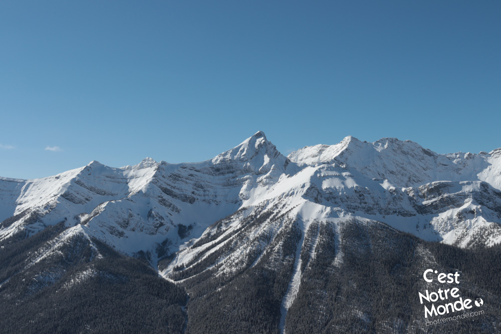
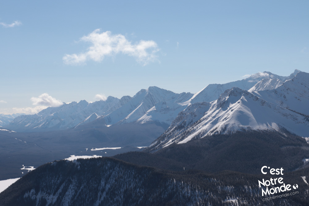
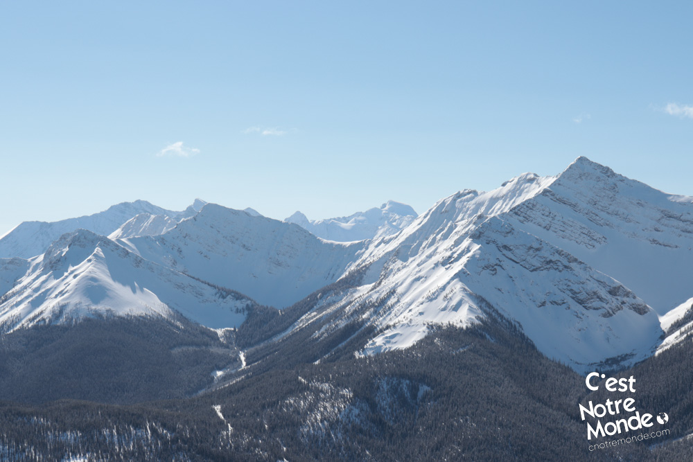
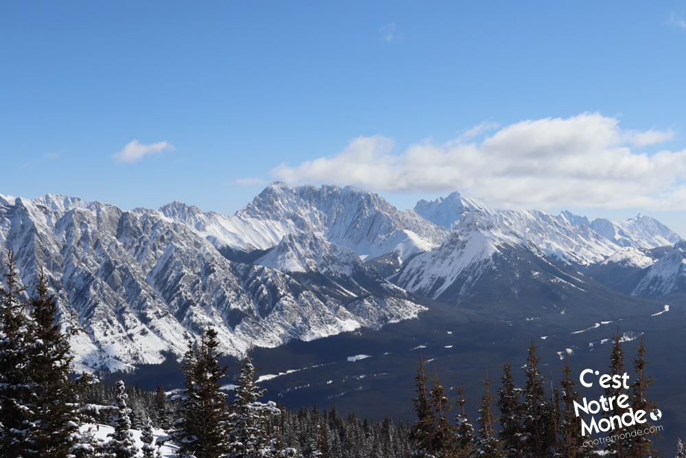
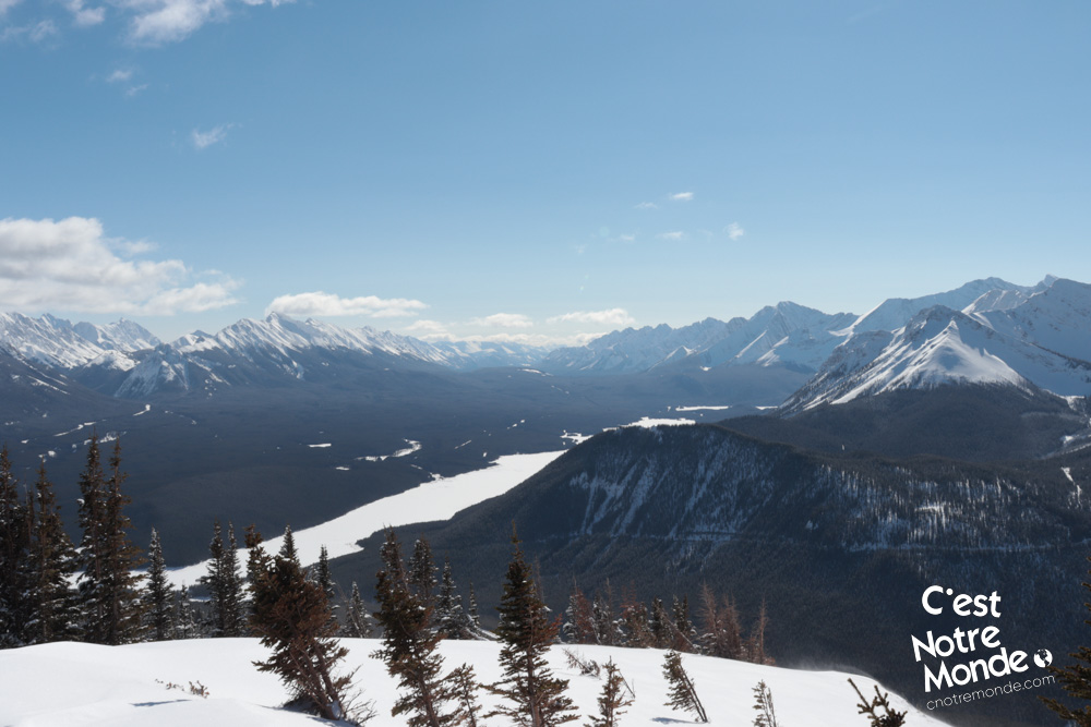
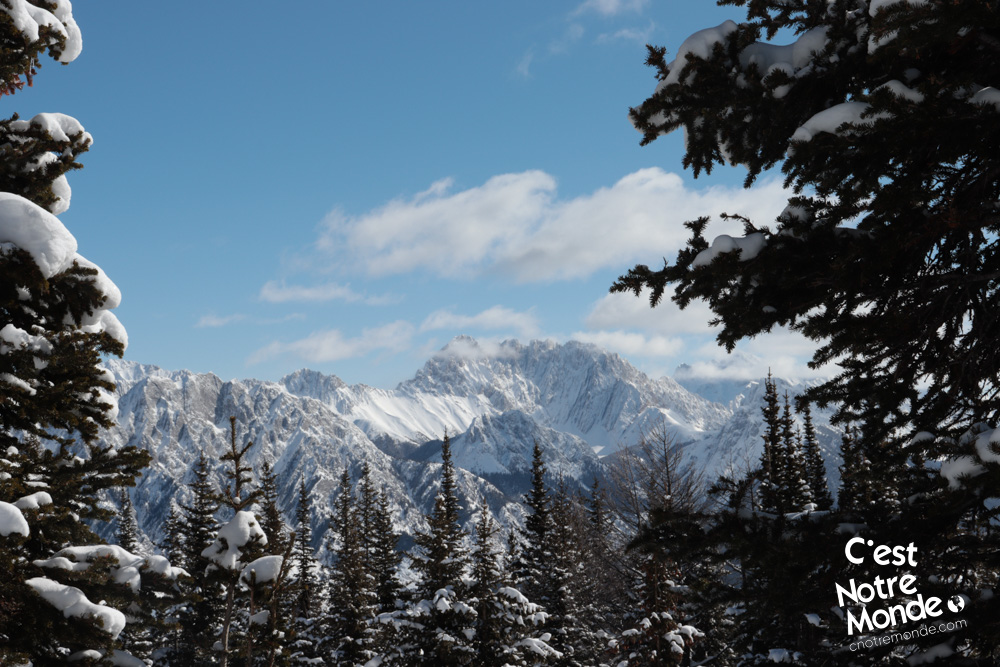
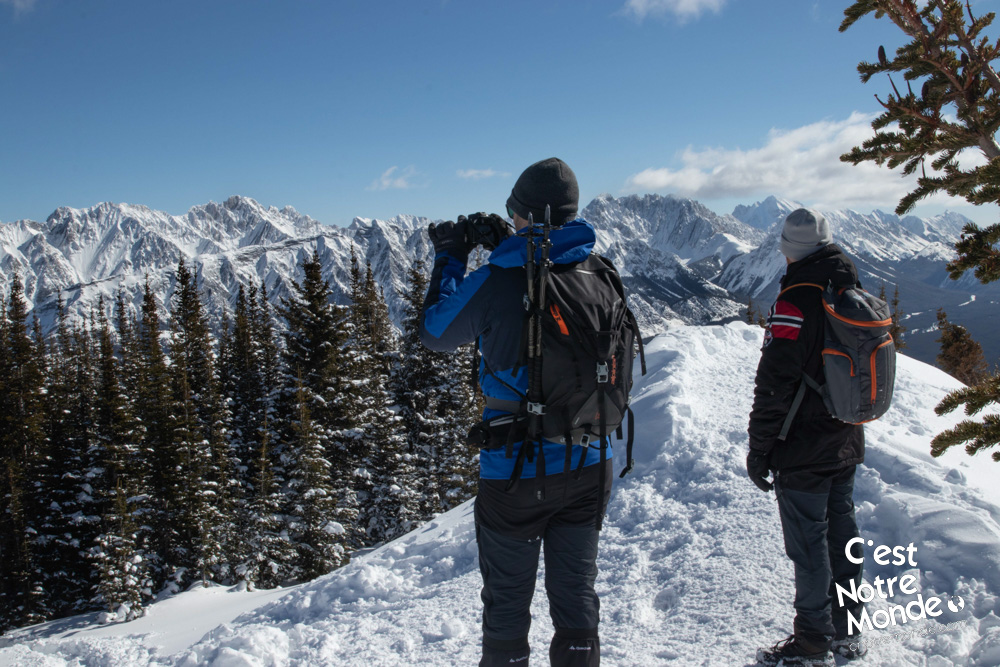
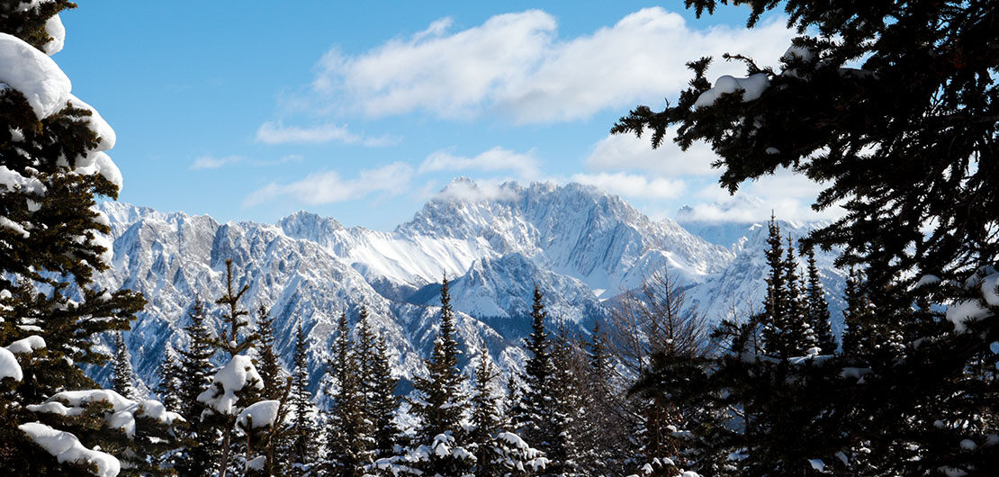
Kent South Peak (2365m) is an intermediate hike located in Kananaskis Country, Alberta. Accessible all year long, this mountain can be climbed without any technical difficulties and offers a 360-degree panorama of the surrounding mountains (such as South Lawson Peak) and Lower Kananaskis Lake. C’est Notre Monde recommends doing this hike in the winter.
3D interactive map
Getting to Peter Lougheed Provincial Park:
Parking access to Kent South Peak hike: https://goo.gl/maps/mYFMUvvEfdFF3NXK9
From Calgary: 130 km – 1h40 driving time
Take the Trans-Canada hwy AB-1 West toward Banff for 66 km until the 118 exit toward Kananaskis Country. Follow the AB-40 South for 55km and turn right on AB-742 toward Kananaskis Lakes. After 2.5km, take another turn right toward Spray Lakes Reservoir. Your destination will be on your right, 3 km further.
Helpful information
To enjoy your hike, you must:
Be Equipped: Hiking boots are a necessity. A steep section of the hike (easy scramble) requires ankle protection. Hiking poles are also recommended on your way down. Grizzlies are usually present in the area, therefore bear spray should be easily accessible in the case of unexpected encounters. Finally, always bring water and food in sufficient quantities.
Parking: You can park alongside the edge of the road (Right side).
Information: Access to Kananaskis Country is not free. You will need to register your vehicle(s) online on the Kananaskis park website and purchase a daily or annual pass. Note that the fees are per vehicle and not per hiker, so carpooling is an option. Be mindful of the forecast and visit the park’s website before your hike to find up to date information such as last seen wildlife, trail conditions, etc.
The Hike
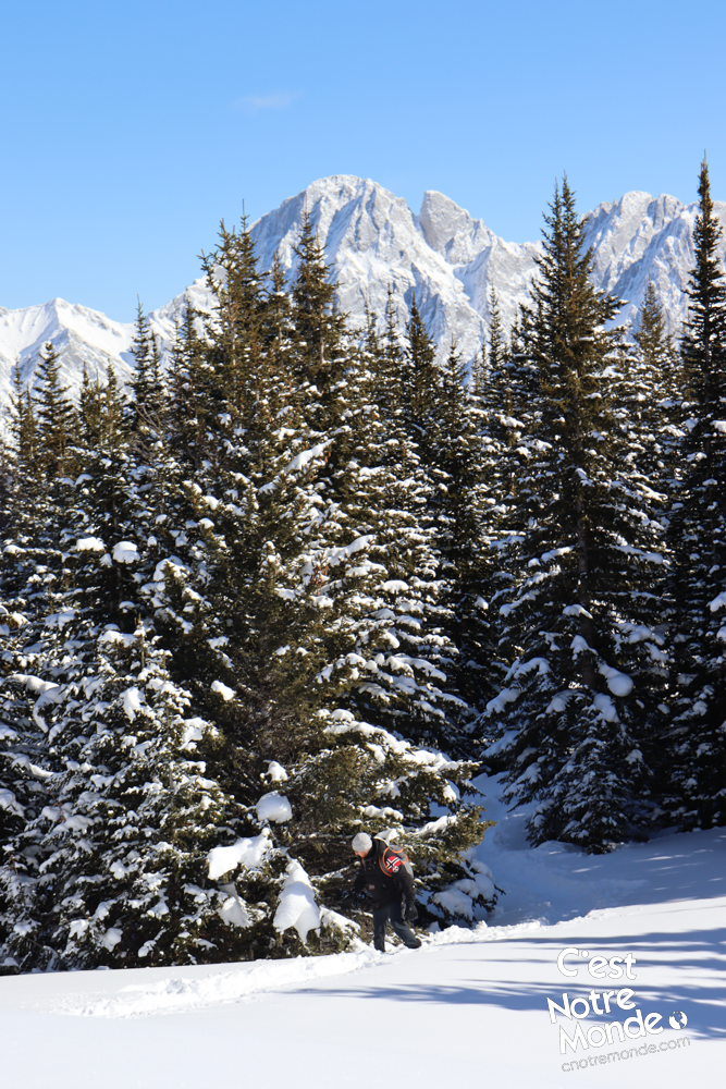
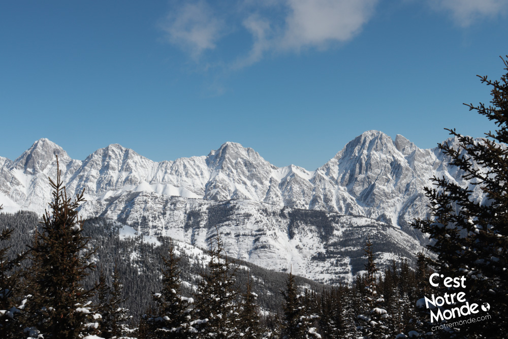
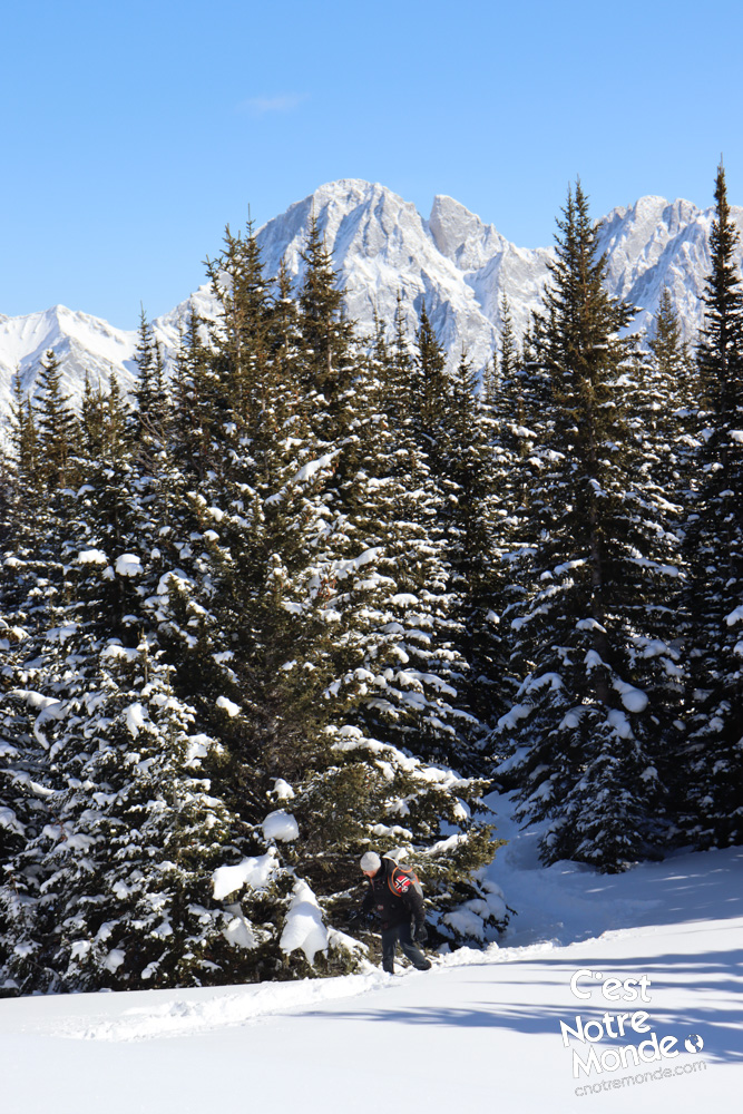
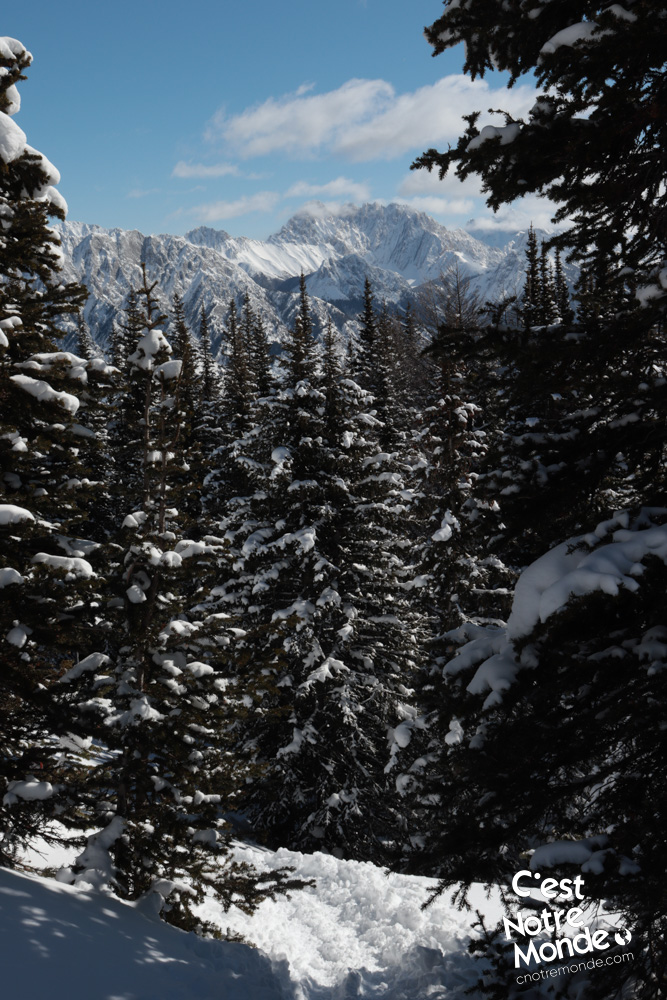
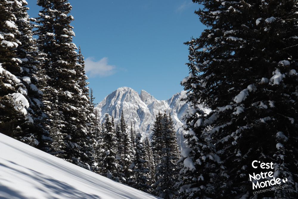
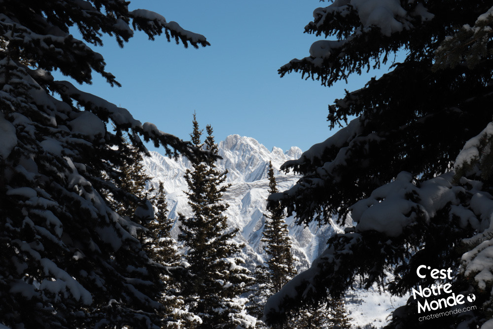
For the most part, this hike is in the forest. While less interesting in summer, winter offers more openings to the surrounding landscape through the trees.
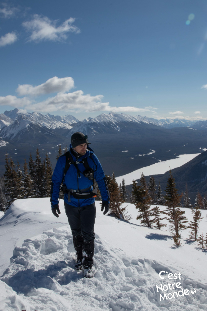
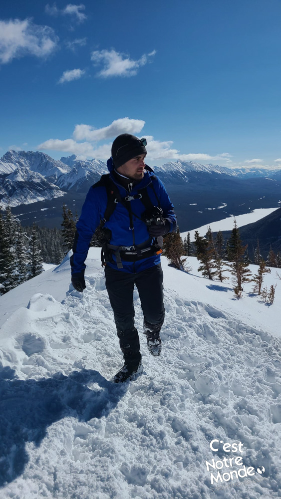
The hike starts by climbing a slope directly off the road to reach the forest. The first 2.5 km (1.55 mi) will climb continuously with a few steep, albeit non-technical, sections. Next is the summit ridge offering scenic views on one side.
Accessible all year long, this mountain can be climbed without any technical difficulties and offers a 360 degree panorama of the surrounding mountains (such as South Lawson Peak) and Lower Kananaskis Lake.
After 500 meters, you will reach the summit after a last (and short) return to the forest. The 360-degree view at the top is worth the effort. You will be surrounded by high summits and can appreciate part of the Lower Kananaskis Lake.
Retrace your steps to get back to the parking lot.
TO KNOW
Interest
Difficulty
Distance
Approximately 6 km / 3.7 miles
Duration
3 hours
Elevation
2365 meters / 7760 feet
Height difference
Around 550 meters / 1800 feet
Useful informations
See on Caltopo (detailed)
See on Google Maps (basic)
Useful links
Website: https://www.albertaparks.ca/parks/kananaskis/kananaskis-country/
Parking: https://goo.gl/maps/mYFMUvvEfdFF3NXK9
Weather forecast: https://www.mountain-forecast.com/peaks/Mount-Lawson/forecasts/2795
Download GPX: https://www.cnotremonde.com/gpx/Kent-South-Peak-AB-cestnotremonde.gpx