 Alberta
Cox Hill Ridge
Introduction
Cox Hill Ridge is a 2190 m high mountain (7185 ft) located in the foothills of the Canadian Rockies in Kananaskis Country. Although long and demanding, this hike is perfect for a winter adventure: no technical difficulty, a well maintained trail and a panoramic view at the top. What more could we ask? C’est Notre Monde invites you to discover this surprising little mountain only one hour away from Calgary.
3D interactive map
Getting to Sibbald Lake Provincial Recreation Area:
Parking access to Cox Hill Ridge hike: https://goo.gl/maps/WnWpi2HywkrMjweNA
From Calgary: 75 km – 1h driving time
Take the Trans-Canada hwy AB-1 West toward Banff until exit 143 toward Sibbald Creek Trail. You will find yourself on the AB-68 South, which you will follow for the next 26 km. Note that after 14km, this road is no longer paved. Turn left on Powderface Trail and follow this road for 3km. This last section is closed from December to May, however in April 2022 the warm weather allowed us to use it.
Helpful information
To enjoy your hike, you must:
Be Equipped: Hiking boots are a necessity. Steep sections of the hike require ankle protection. Hiking poles are also recommended on your way down. Grizzlies are usually present in the area, therefore bear spray should be easily accessible in the case of unexpected encounters. Finally, always bring water and food in sufficient quantities.
Parking: The parking is large and free.
Information: Access to Kananaskis Country is not free. You will need to register your vehicle(s) online on the Kananaskis park website and purchase a daily or annual pass. Note that the fees are per vehicle and not per hiker, so carpooling is an option. Be mindful of the forecast and visit the park’s website before your hike to find up to date information such as last seen wildlife, trail conditions, etc.
The Hike
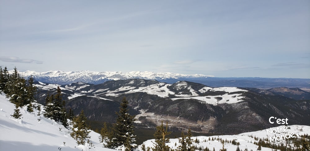
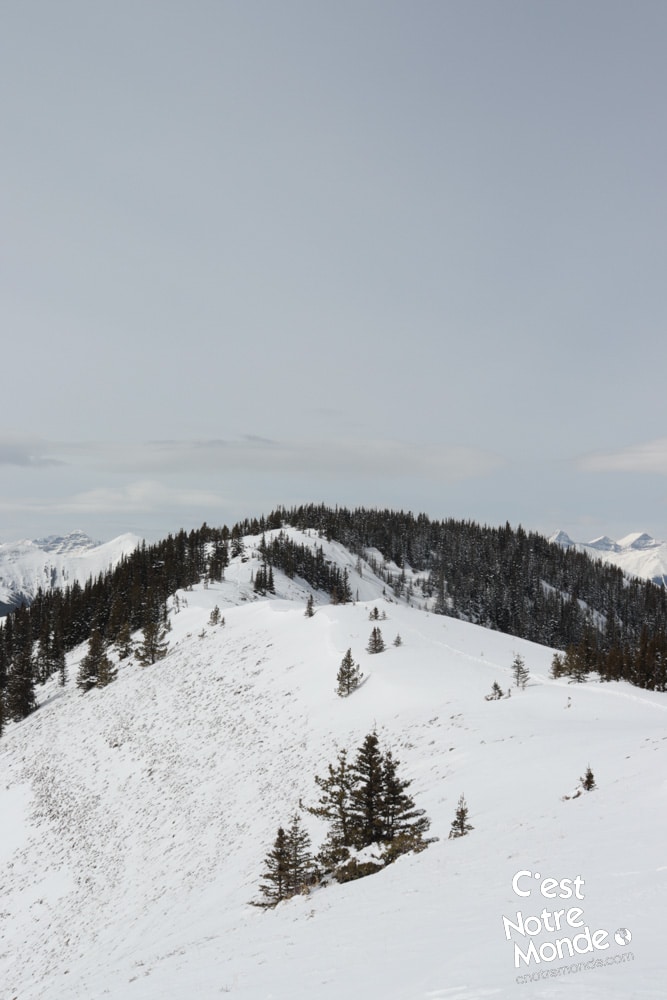
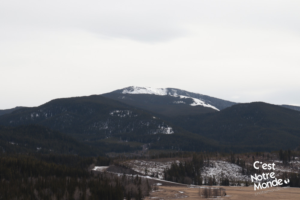
Start your hike on the “Tom Snow Track” trail, following the Jumpingpound Creek on your right. You will cross the river on a large wooden bridge and reach an intersection afterward. The right trail (Cox Hill) will take you all the way to the summit. The majority of this hike is in the forest with some openings from time to time to the surrounding hills. The well maintained trail climbs consistently with some rare flat sections. After 4.2km (2.6 mi), you will find a nice view point towards the Prairies on your left. After leaving the forest, you will find yourself at the bottom of a ridge.
Cox Hill Ridge is a 2190 m high mountain (7185 ft) located in the foothills of the Canadian Rockies in Kananaskis Country.
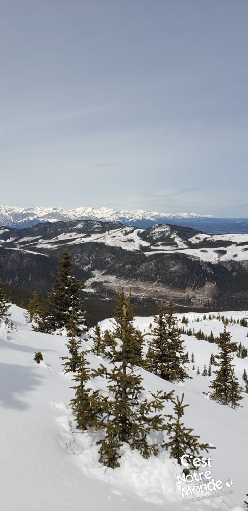
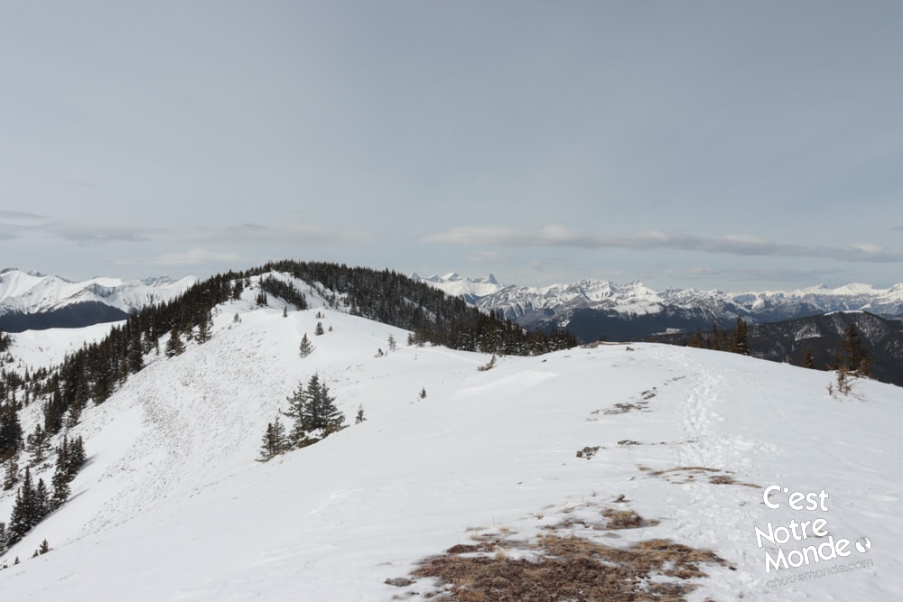
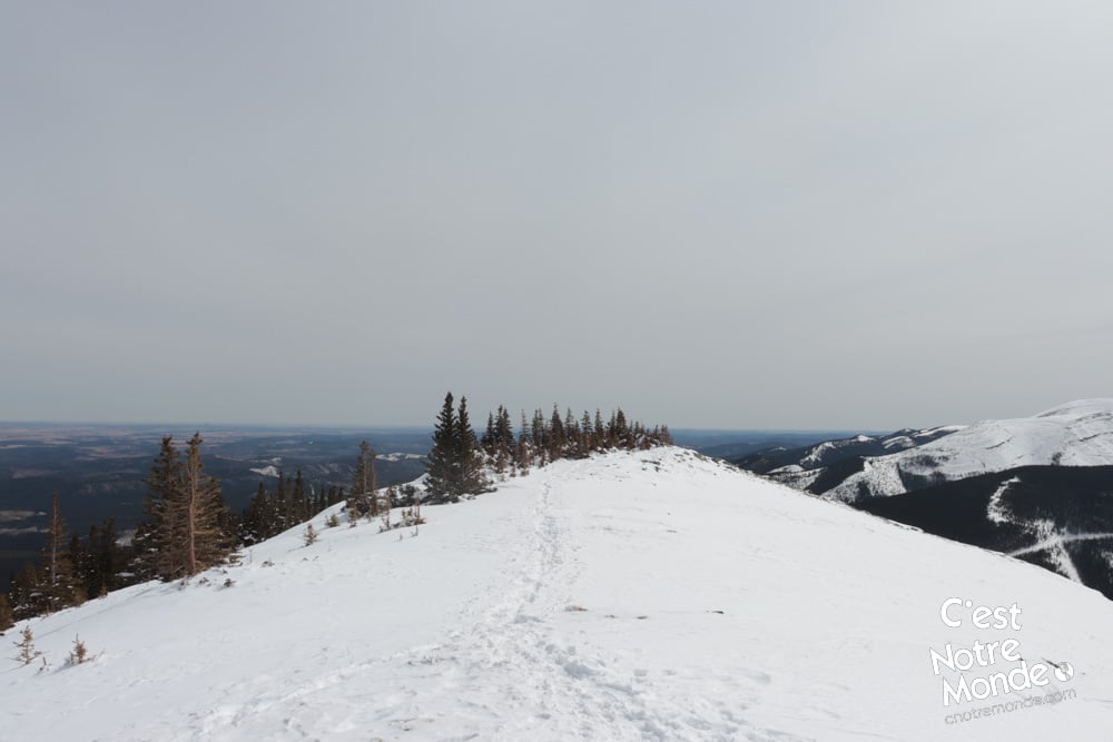
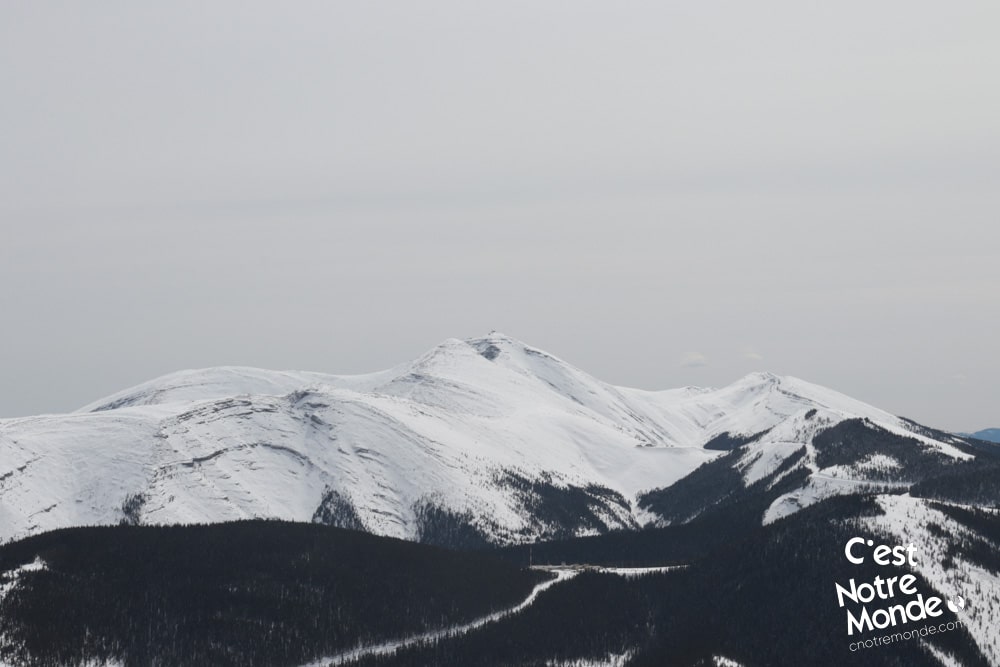
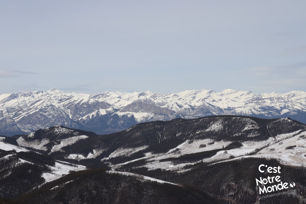
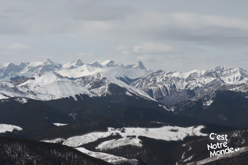
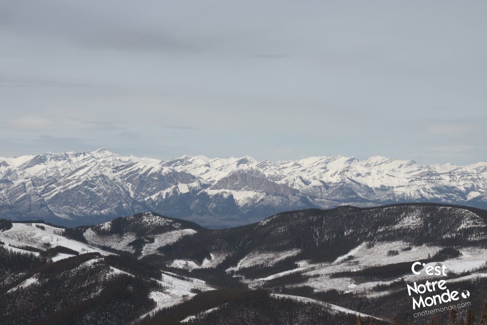
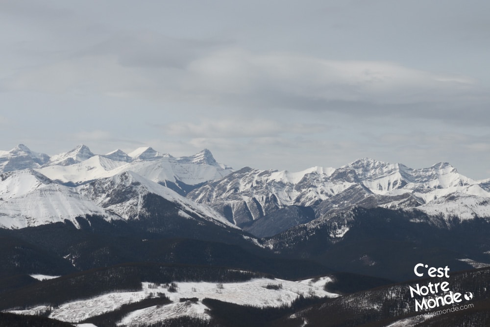
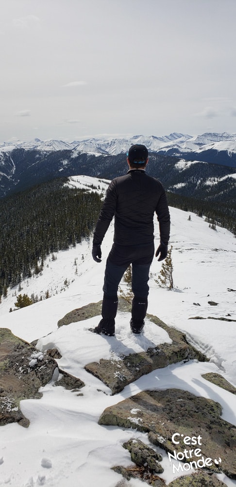
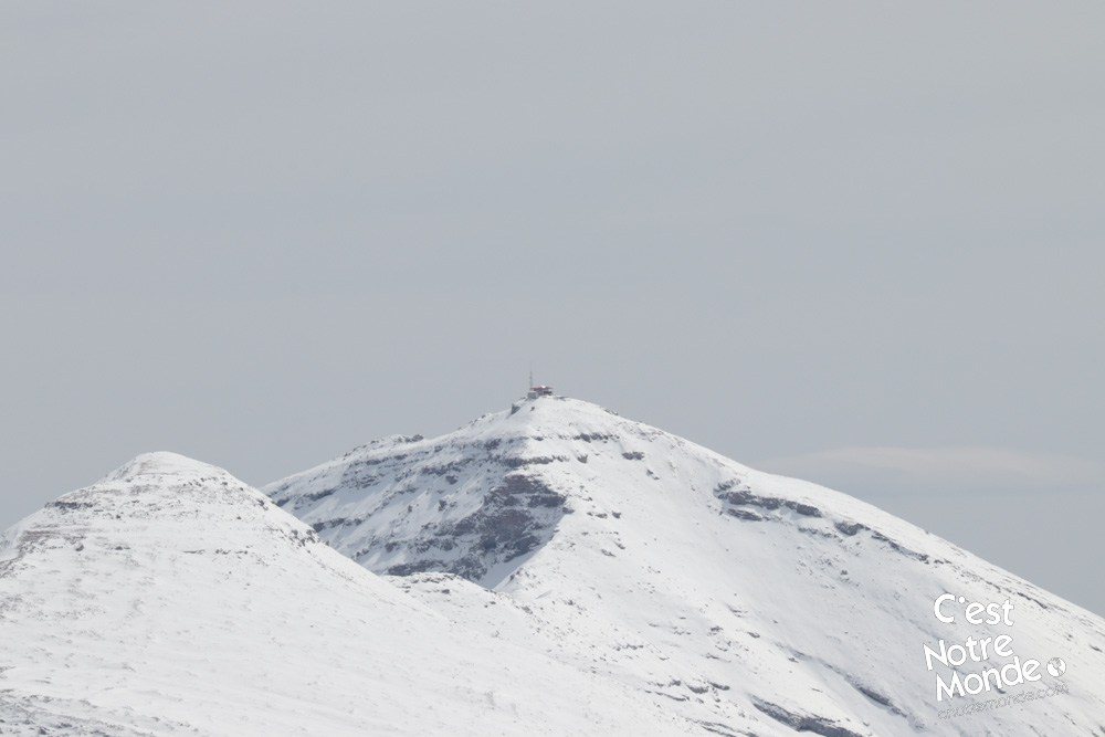
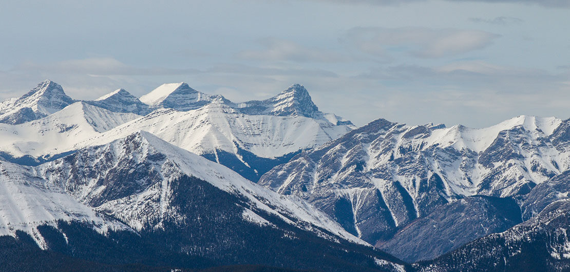
The final climb to the right is more steep and demanding. At the top, you will find a cairn (a pile of rocks) indicating the South East Ridge at around 2170 m high (7119 ft). The view here is already stunning with Moose Mountain on one side and the boundless chain of the Rockies on the other. You are not at your final destination however, you still need to walk the ridge to the final summit.
Although long and demanding, Cox Hill Ridge is perfect for a winter adventure: no technical difficulty, a well maintained trail and a panoramic view at the top. What more could we ask?
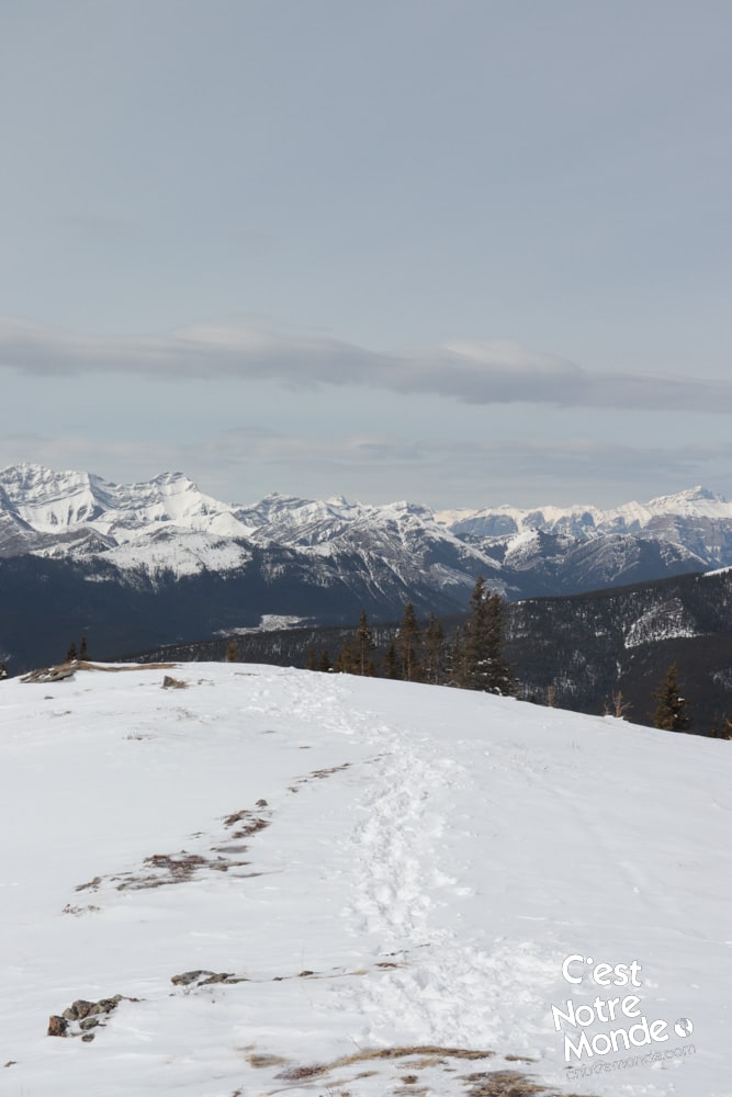
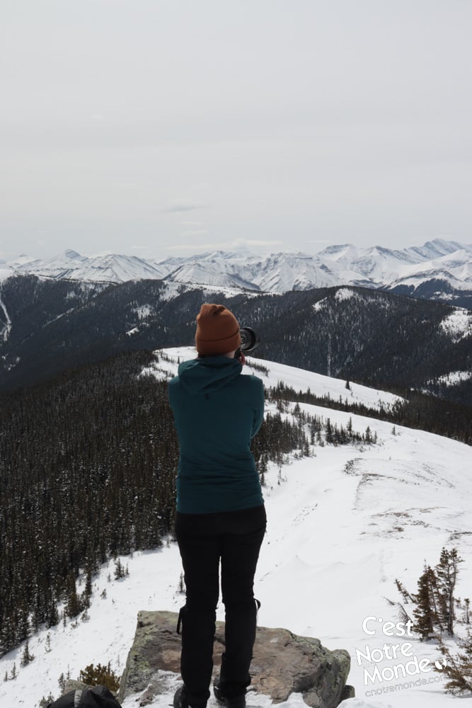
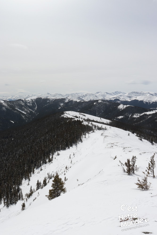
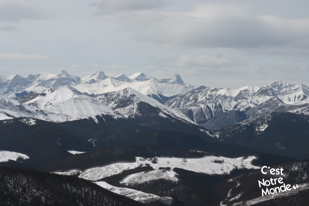
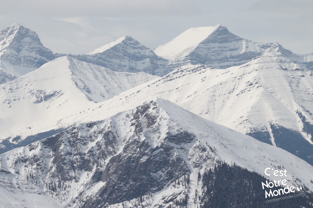
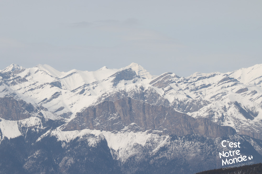
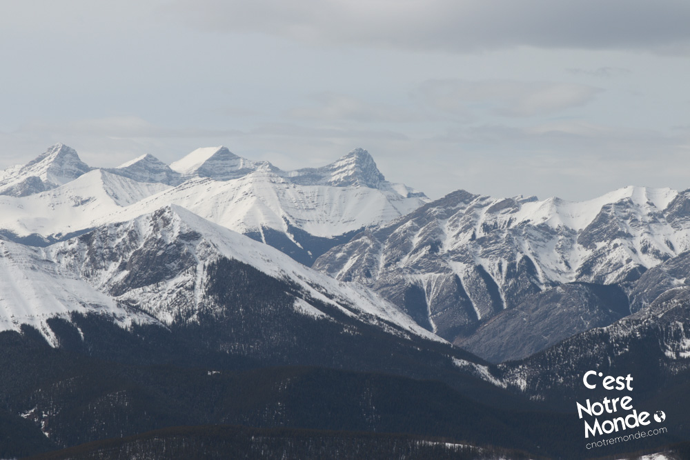
This ridge is 550 m long (0.3 mi) with a few up and down sections that offers a panoramic view until the final summit, at 2190 m of altitude (7185 ft). The 360 degree view of the region is astonishing. Will you be able to identify some of the surrounding summits, such as the easily identifiable Midnight Peak.
The view at the top on Cox Hill Ridge is stunning with Moose Mountain on one side and the boundless chain of the Rockies on the other.
Cox Hill Ridge is a nice hike, considered difficult because of the distance (around 13km). The panorama at the top is worth the effort.
Retrace your steps to get back to the parking lot.
TO KNOW
Interest
Difficulty
Distance
Approximately 12,7 km / 7.9 miles
Duration
4 to 5 hours
Elevation
2190 meters / 7185 feet
Height difference
Around 745 meters / 2444 feet
Useful informations
See on Caltopo (detailed)
See on Google Maps (basic)
Useful links
Website: https://www.albertaparks.ca/parks/kananaskis/kananaskis-country/
Parking: https://goo.gl/maps/WnWpi2HywkrMjweNA
Weather forecast: https://www.mountain-forecast.com/peaks/Jumpingpound-Mountain/forecasts/2225
Download GPX: https://www.cnotremonde.com/gpx/Cox-Hill-Ridge-AB-cestnotremonde.gpx