 Alberta
Midnight Peak
Introduction
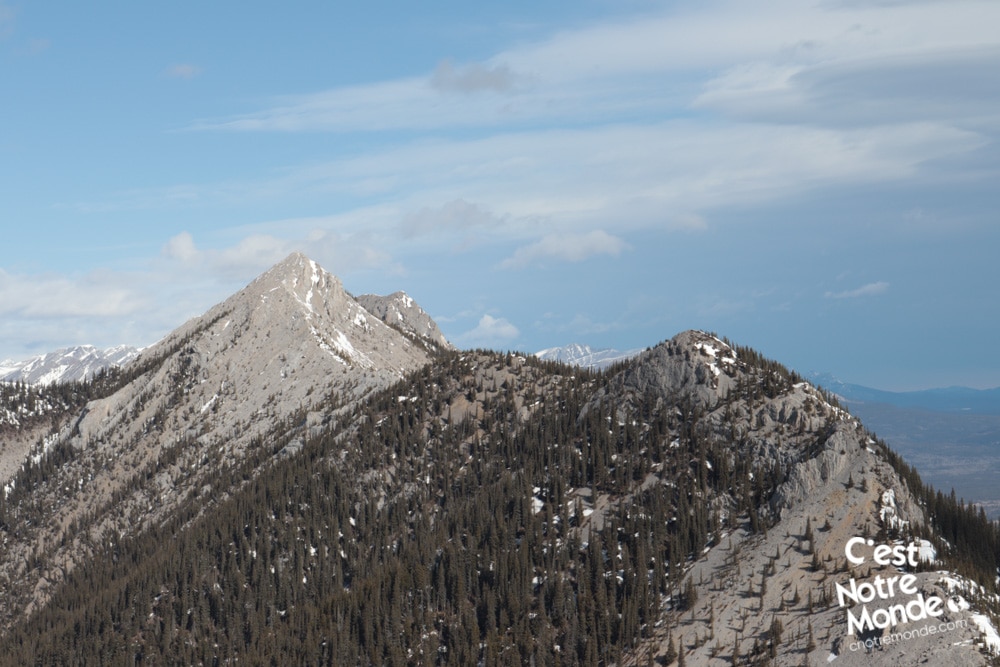
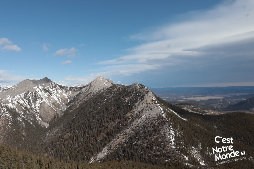
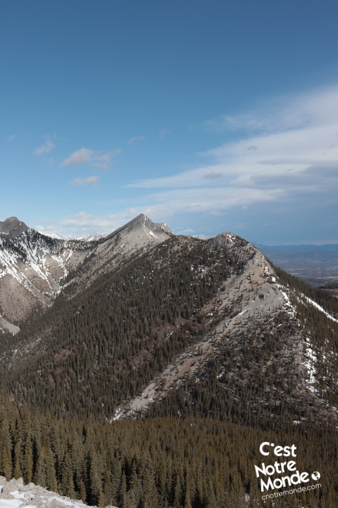
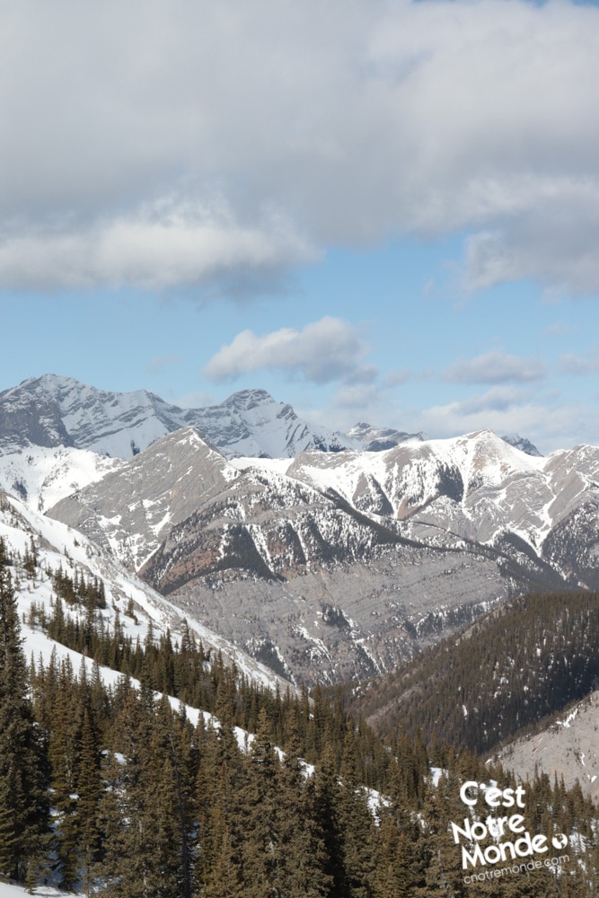
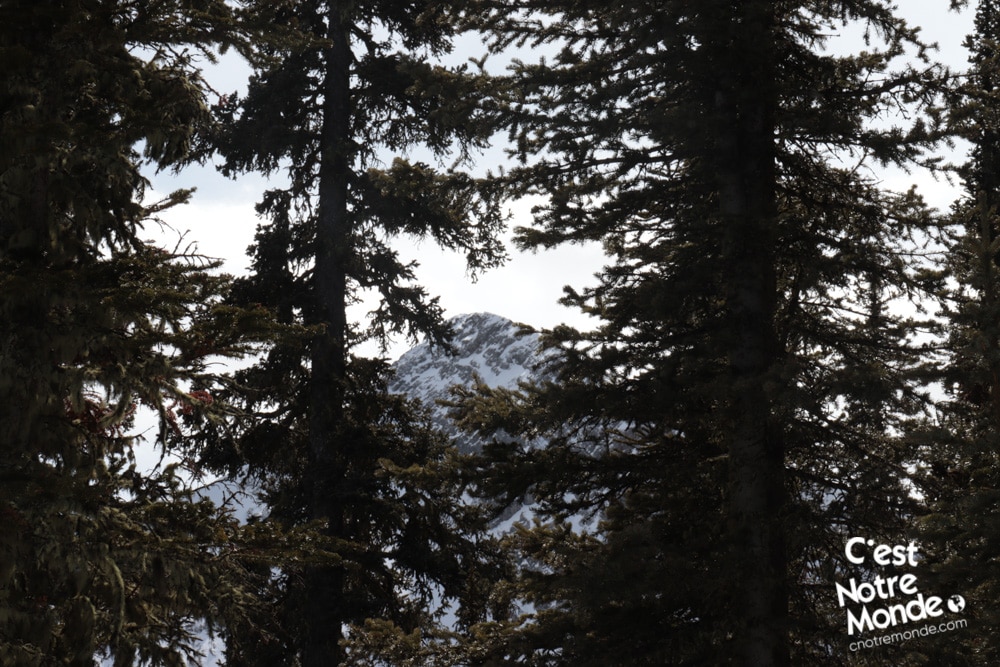
Midnight Peak is a 2348 meter high mountain located in Kananaskis Country, just next to the Albertan Prairies. From its summit, you can appreciate the striking contrast between the mountains and plains. This hike will take you to Baldy Pass after a moderate climb, and then to the summit after a steep scramble. Worth the trip but this challenge should not be underestimated!
” target=”_blank” rel=”noopener”>3D interactive map
Getting to Elbow-Sheep Wildland Provincial Park
Midnight Peak Hike Parking Access: https://goo.gl/maps/f9NHi2iZA8ACFTP79
From Calgary: 90 km – 1h driving time
Take the Trans-Canada hwy AB-1 West toward Banff for 50 km until the 118 exit toward Kananaskis Country. Follow the AB-40 South for 15 km. The ‘Baldy Pass parking Lot’ will be on your right. This will be your starting point.
Helpful information
To enjoy your hike, you must:
Be Equipped: Hiking boots are a necessity. A steep section of the hike (easy scramble) requires ankle protection. We recommend that you use a climbing helmet in summer in case of rock falls. Hiking poles are also recommended on your way down. Grizzlies are present in the area, therefore bear spray should be easily accessible in the case of unexpected encounters. Finally, always bring water and food in sufficient quantities.
Parking: The free parking lot is located on the right side of the road.
Information: Access to Kananaskis Country is not free. You will need to register your vehicle(s) online on the Kananaskis park website and purchase a daily or annual pass. Note that the fees are per vehicle and not per hiker, so carpooling is an option. Be mindful of the forecast and visit the park’s website before your hike to find up to date information such as last seen wildlife, trail conditions, etc.
The Hike
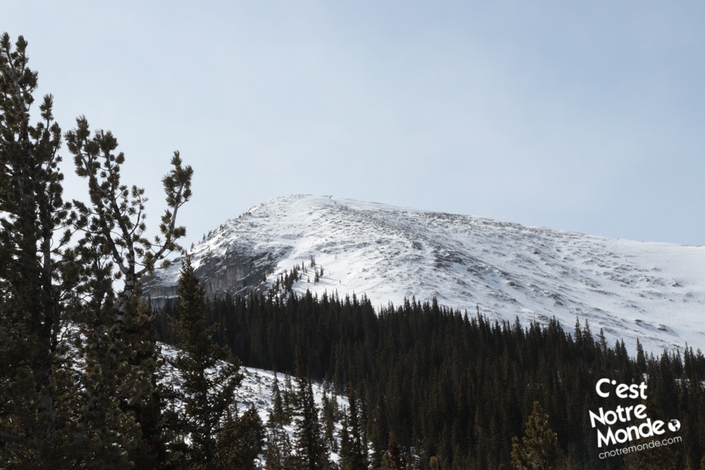
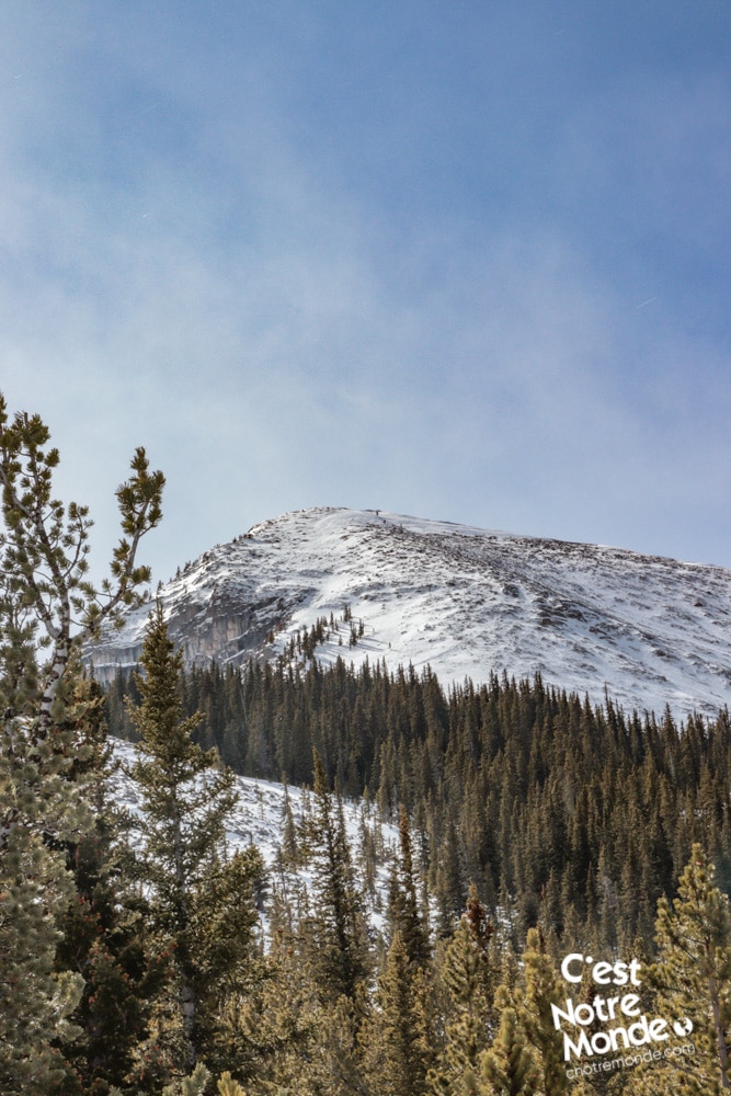
The starting point toward Baldy Pass trail is found across the road from the parking lot. The trail climbs slightly on the first 1.5 km (0.9 mi) while going deep into the forest. You will meet and follow a river (dry in winter) and begin a steeper climb until you reach Baldy Pass at 1811m of altitude (5941 ft). So far, you have hiked 4km and gained about 425 m of elevation.
Midnight Peak hike will take you to Baldy Pass after a moderate climb, and then to the summit after a steep scramble. Worth the trip but this challenge should not be underestimated!
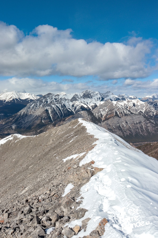
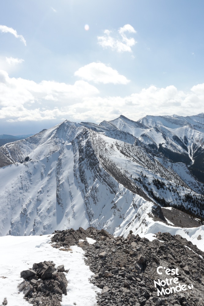
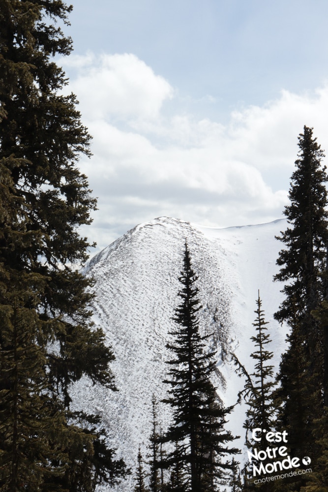
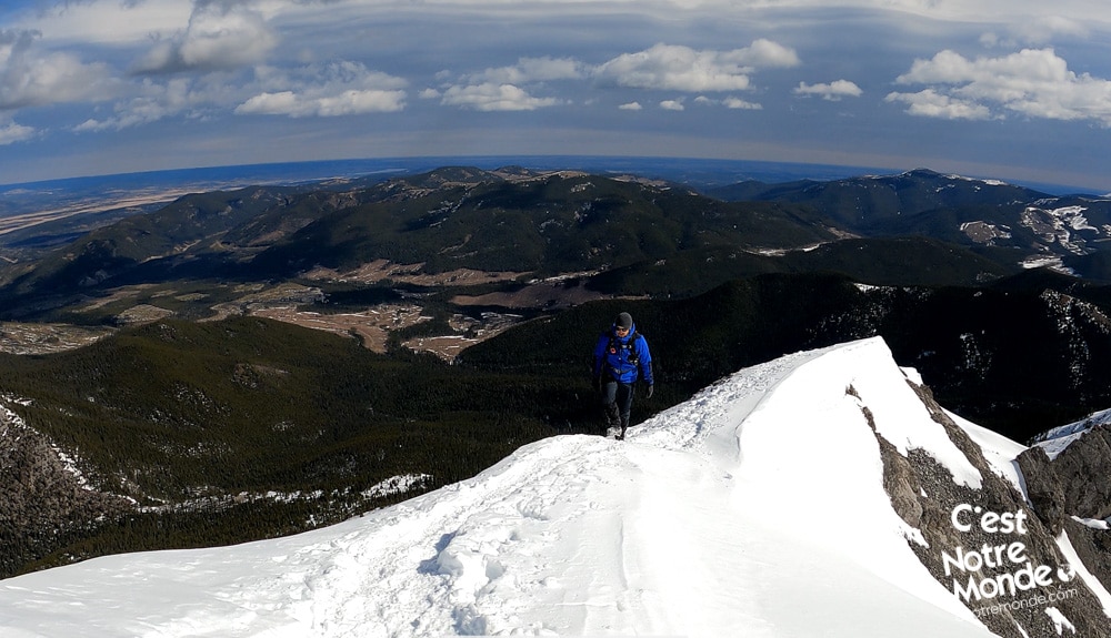
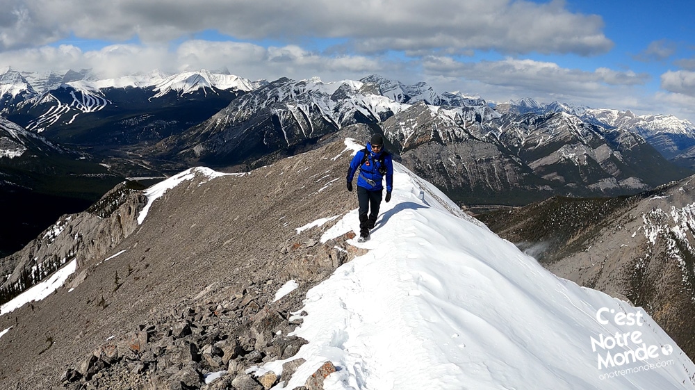
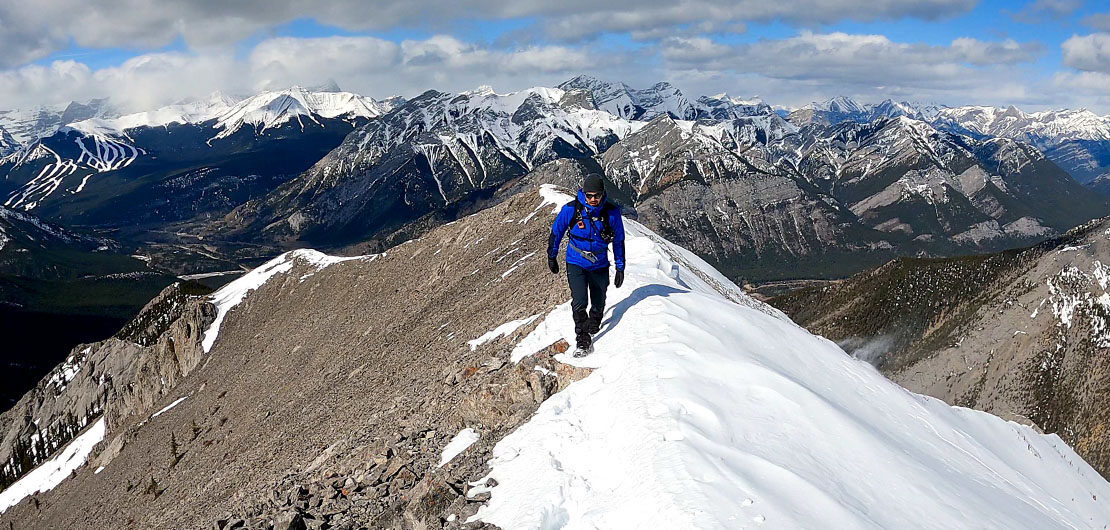
Once at the Pass, this hike becomes more serious. Continue on the trail that veers right and start your ascent to the summit of Midnight Peak. Just 1 km and 485 m of elevation left to go! The trail cuts through some tree cover before the scramble. In Spring, do not attempt the scramble if the snow does not appear stable. Turn around if you have the slightest doubt. The final section is very steep and quite demanding, so take your time. Once at the summit ridge, the last 50 m is a smooth walk to the summit.
In Spring, do not attempt the scramble if the snow does not appear stable. Turn around if you have the slightest doubt.
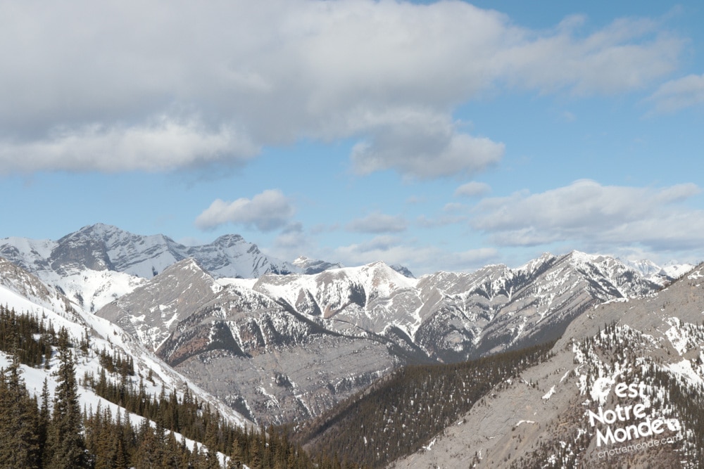
The summit offers a breathtaking view of the Prairies and the most famous summits of Kananaskis Country. You will also be able to see Wasootch ridge in its entirety.
Retrace your steps to return to the parking lot or continue along the ridge to do a loop in the summer months.
TO KNOW
Interest
Difficulty
Distance
Approximately 10,5 km / 6.6 miles
Duration
4-5 hours hours
Elevation
2348 meters / 7703 feet
Height difference
Around 910 meters / 2987 feet
Useful informations
See on Caltopo (detailed)
See on Google Maps (basic)
Useful links
Website: https://www.albertaparks.ca/parks/kananaskis/kananaskis-country/
Parking: https://goo.gl/maps/f9NHi2iZA8ACFTP79
Weather forecast: https://www.mountain-forecast.com/peaks/Mount-Baldy-Alberta/forecasts/2192
Download GPX: https://www.cnotremonde.com/gpx/Midnight-Peak-AB-cestnotremonde.gpx