 Alberta
Pocaterra Ridge
Introduction
C’est Notre Monde presents Pocaterra Ridge! This 4 km long ridge in Peter Lougheed Provincial Park (Kananaskis Country) will challenge and reward you with a strenuous climb and an incredible 360 degree view of the surrounding mountains. Ideally, this hike requires two cars positioned at point A and point B of the trail (see details below). Definitely a must in Kananaskis!
3D interactive map by our partner FATMAP – the outdoor adventure platform for web and mobile
Getting to Peter Lougheed Provincial Park
Pocaterra Ridge Hike Parking Access: https://goo.gl/maps/7LcZsidiSv34miWH7
From Calgary: 140 km – 1h30 driving time
Take the Trans-Canada hwy AB-1 West toward Banff for 50 km until the 118 exit toward Kananaskis Country. Follow the AB-40 South for 67 km. The ‘Ptarmigan Circle trail parking lot’ will be on your right, and will be your starting point.
Helpful information
To enjoy your hike, you must:
Be Equipped: Hiking boots are a necessity. A steep section of the hike (easy scramble) requires ankle protection. Hiking poles are also recommended on your way down. Grizzlies are usually present in the area, therefore bear spray should be easily accessible in the case of unexpected encounters. Finally, always bring water and food in sufficient quantities.
Parking: We recommend hiking from Point A to Point B which requires two cars parked in two different parking lots. Point A, the departure point should be the “Ptarmigan Cirque parking lot” and Point B your destination, the “Little Highwood Pass parking lot”. These two lots are just 7 km away from each other, approximately 5 minutes of driving time.
Information: Access to Kananaskis Country is not free. You will need to register your vehicle(s) online on the Kananaskis park website and purchase a daily or annual pass. Note that the fees are per vehicle and not per hiker, so carpooling is an option. Be mindful of the forecast and visit the park’s website before your hike to find up to date information such as last seen wildlife, trail conditions, etc.
The Hike
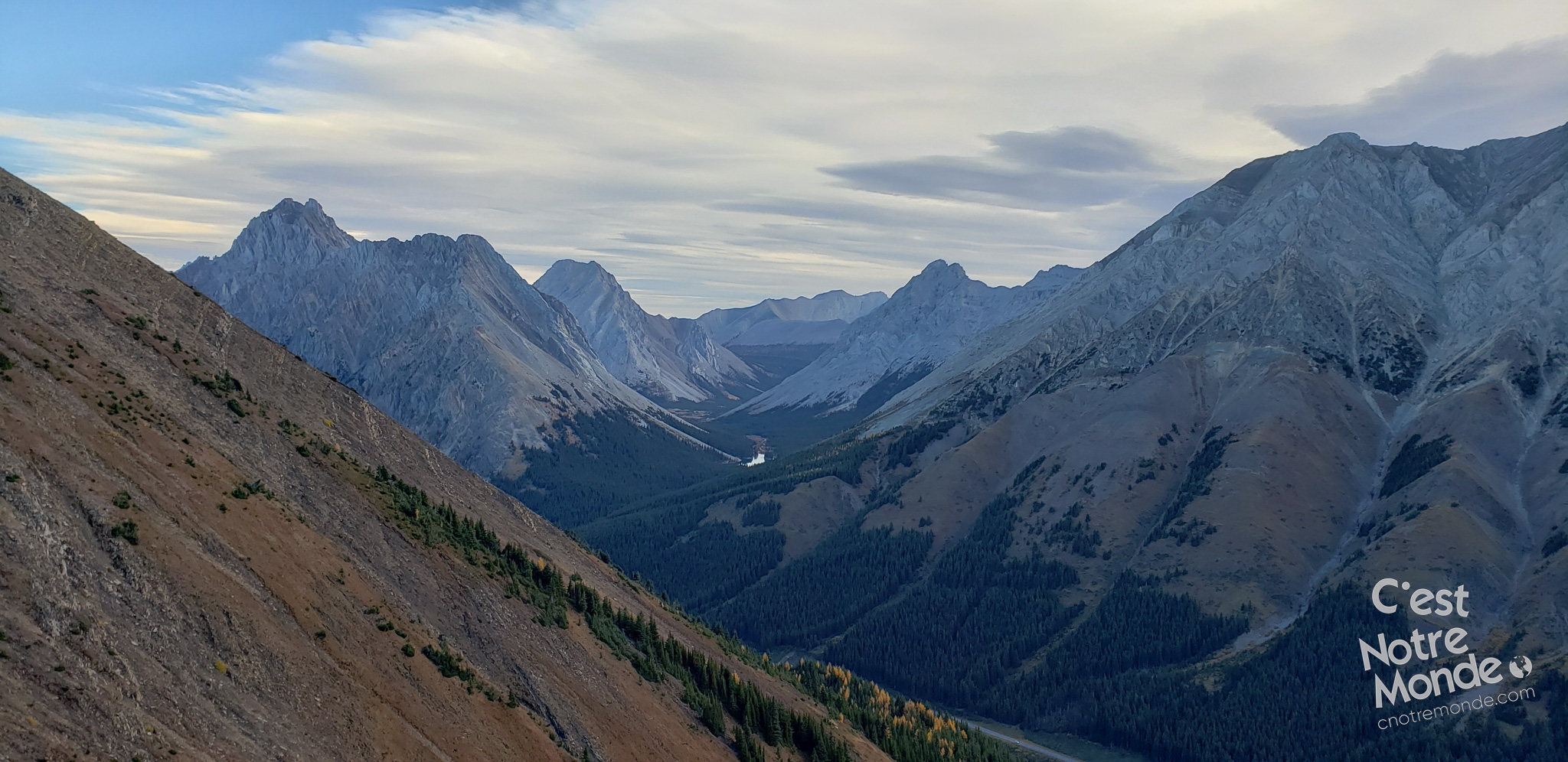
The Pocaterra Cirque trail begins with crossing a forest. Here you will find many trails heading in different directions, which can be confusing when trying to find your way. Unfortunately, no directional signs are posted. Having a GPS app such as “Mapme” can help with orientation.
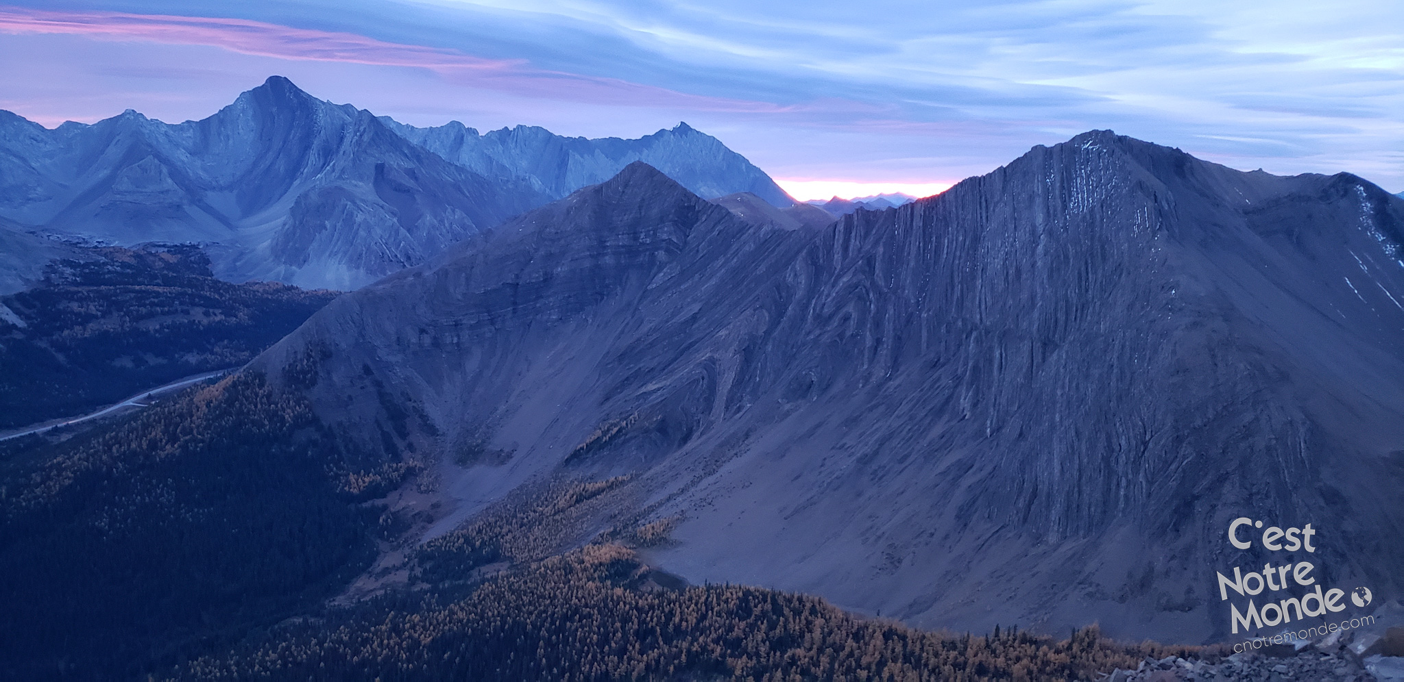
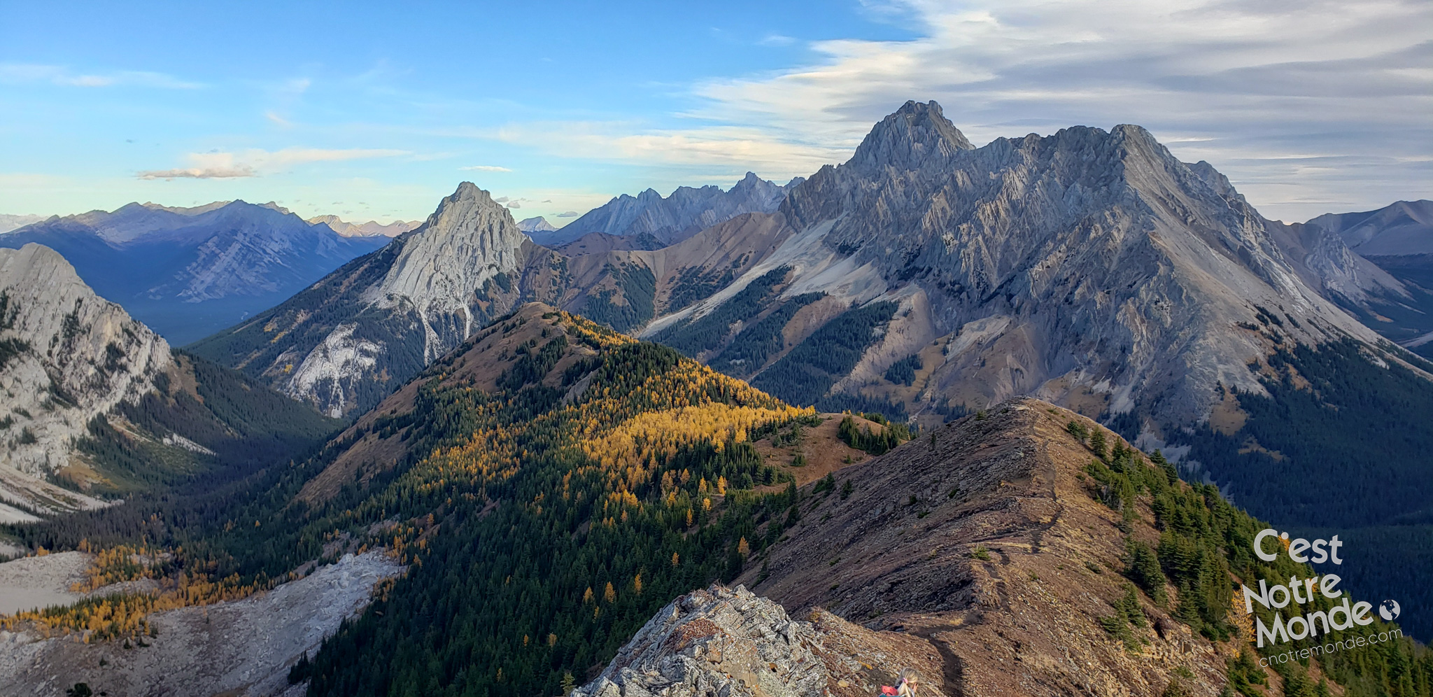
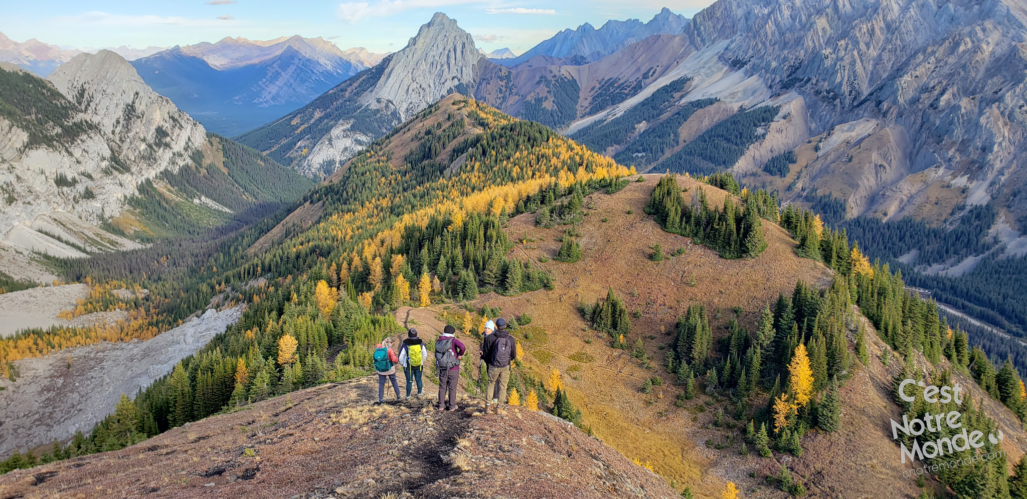
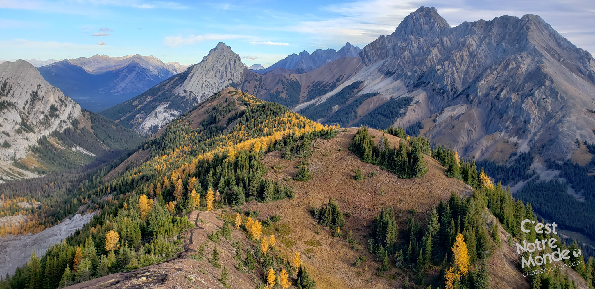
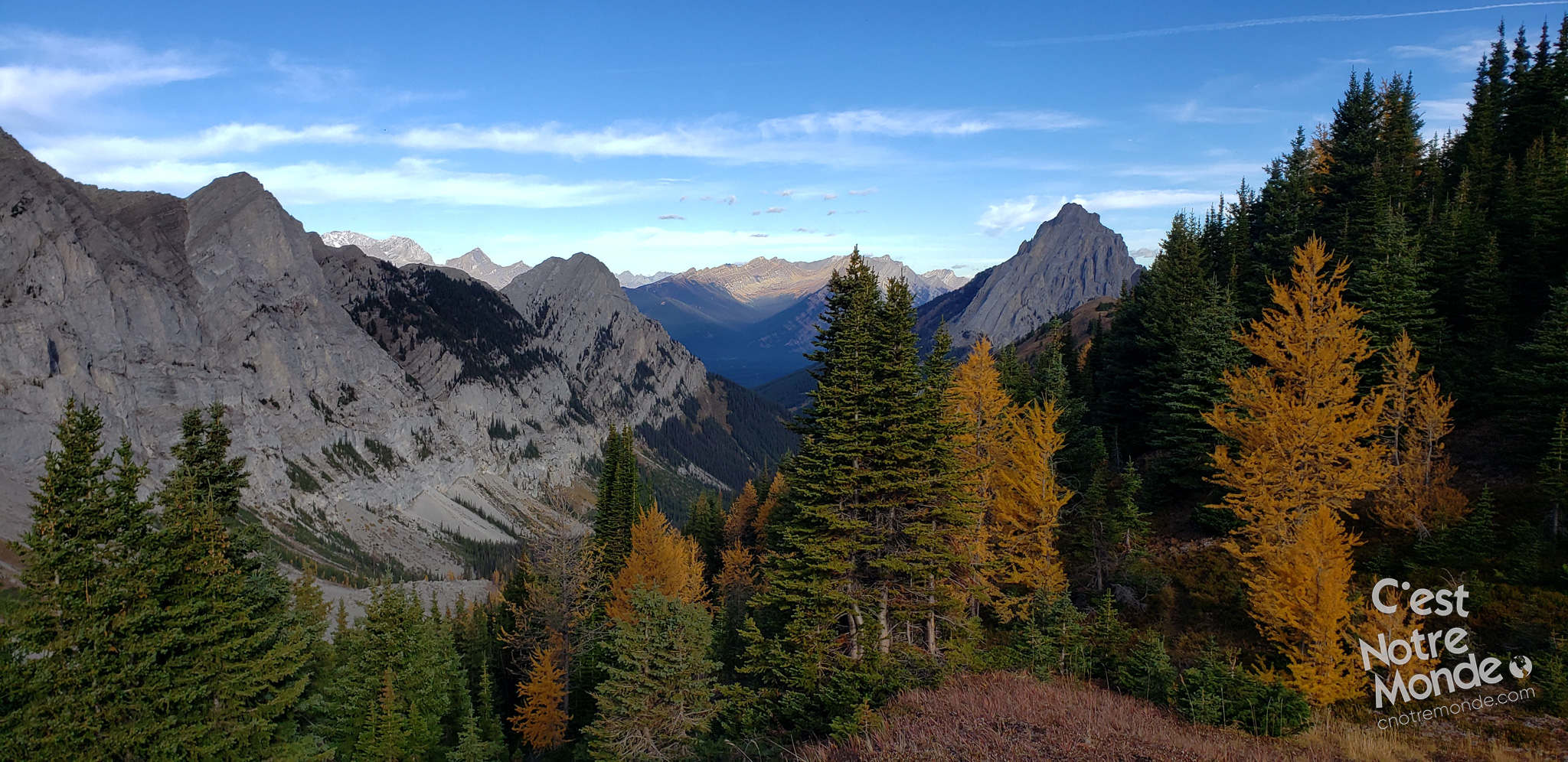
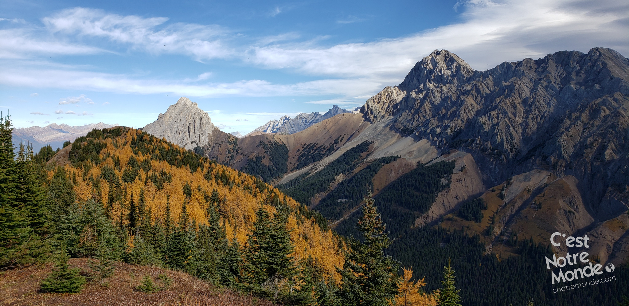
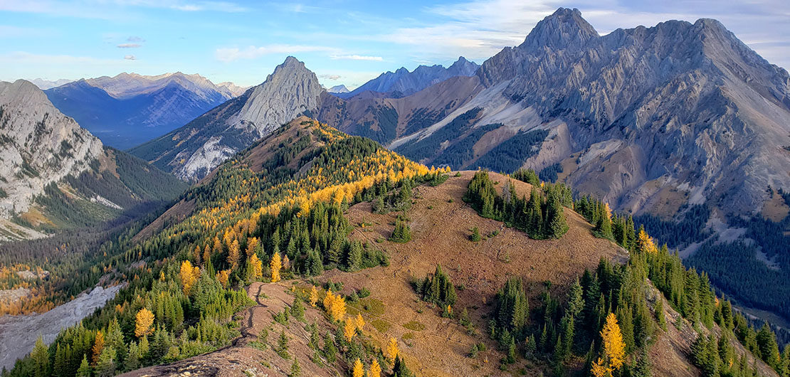
Pocaterra Ridge, a 360° panoramic ridge in the Alberta Rockies!
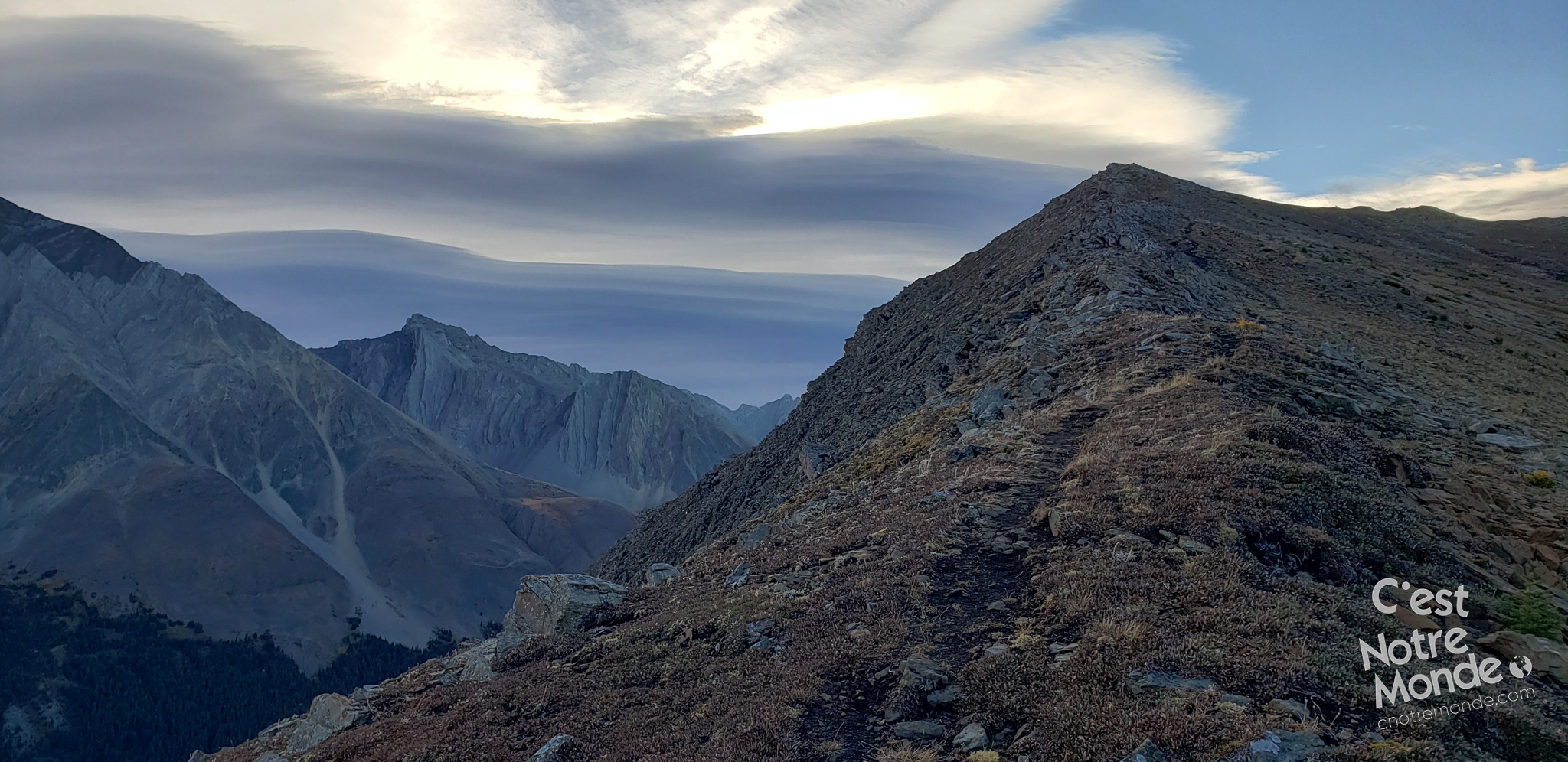
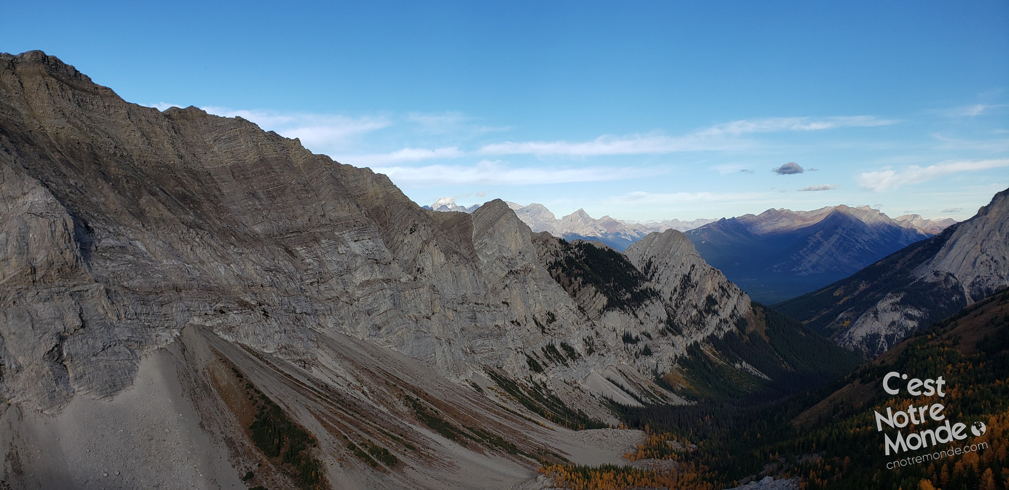
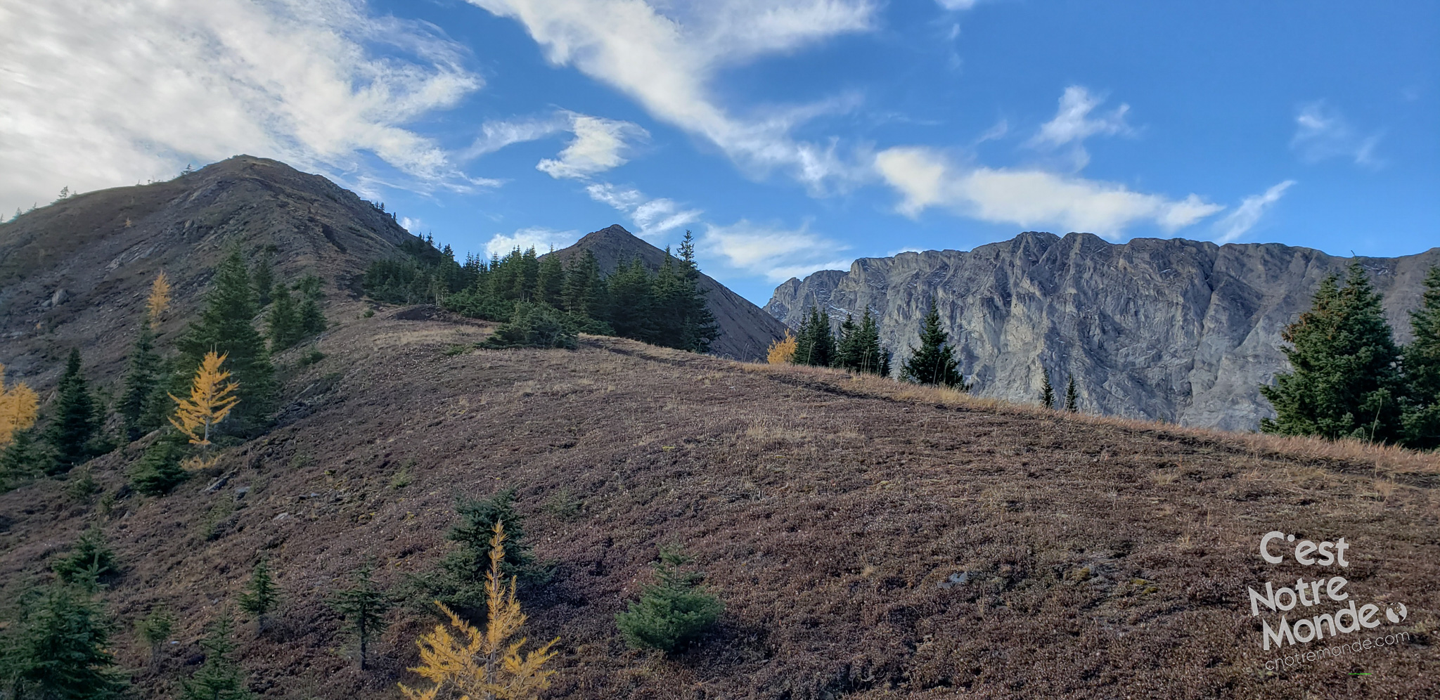
You will quickly reach the magnificent Pocaterra cirque with a view of Mount Tyrwhitt. The trail inclines abruptly across a scree field, approximately 350 meters (1150 ft) in 1.2 km (0.7 mi). This section includes a non-technical “scramble” that can be demanding. However, the Pocaterra Ridge summit (2667 m) with the heavenly view will be your reward!
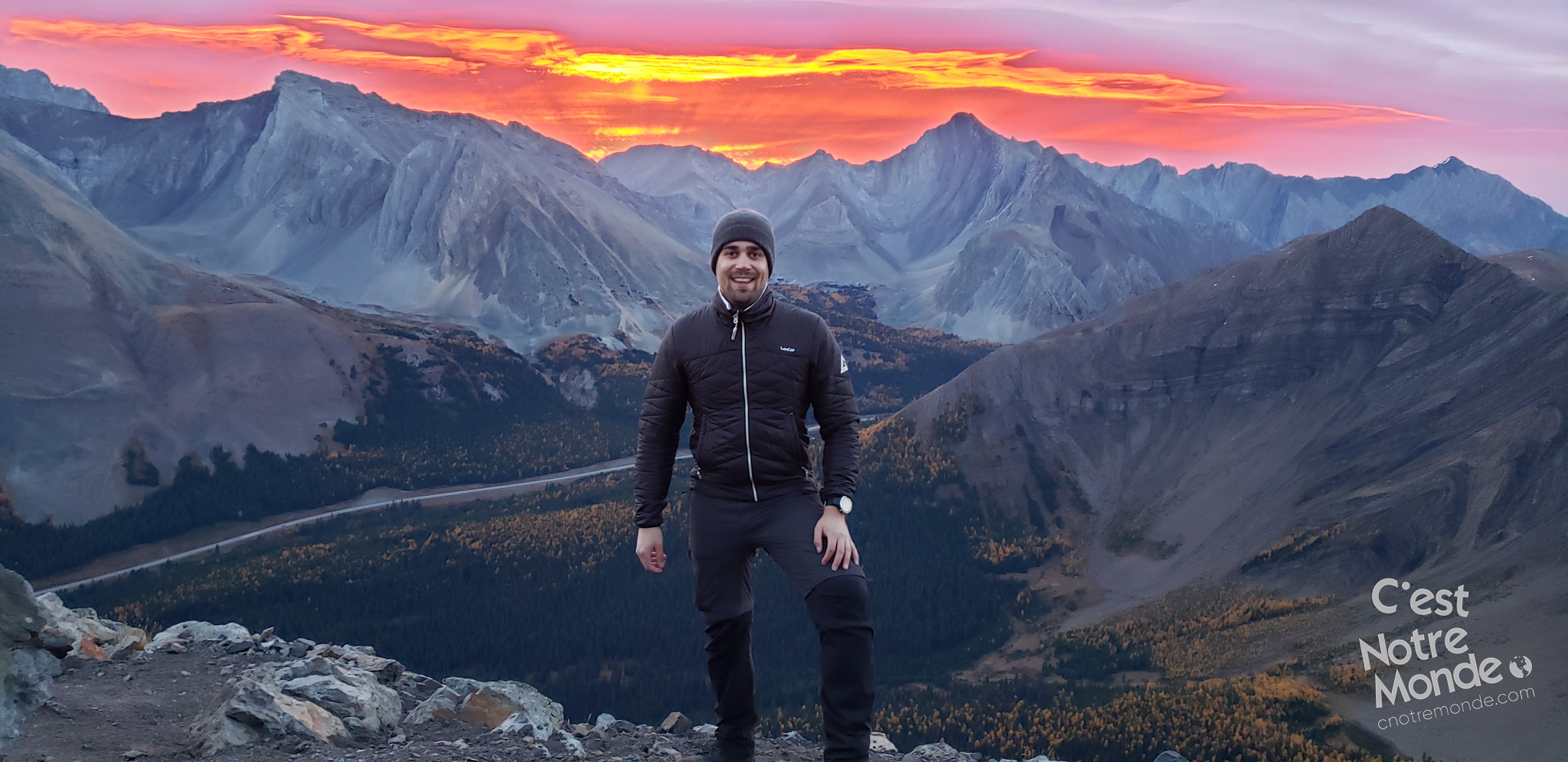
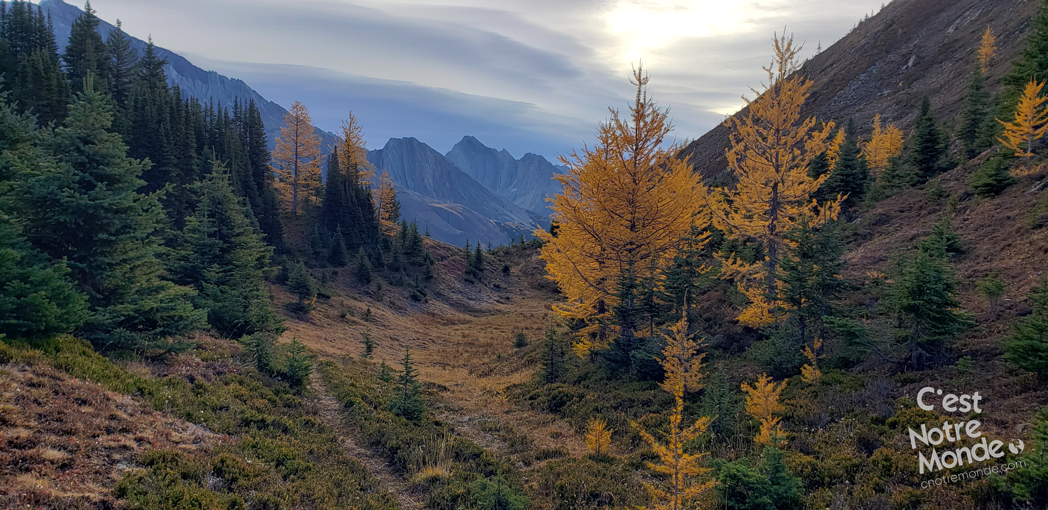
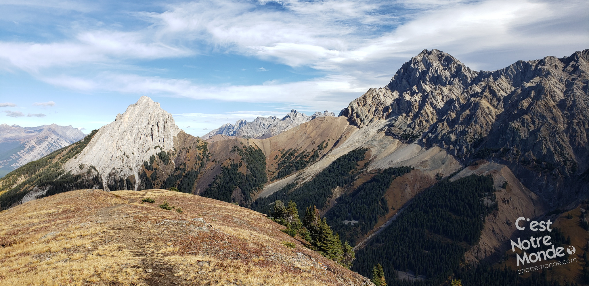
Pocaterra Ridge, a must-do hike in Kananaskis Country!
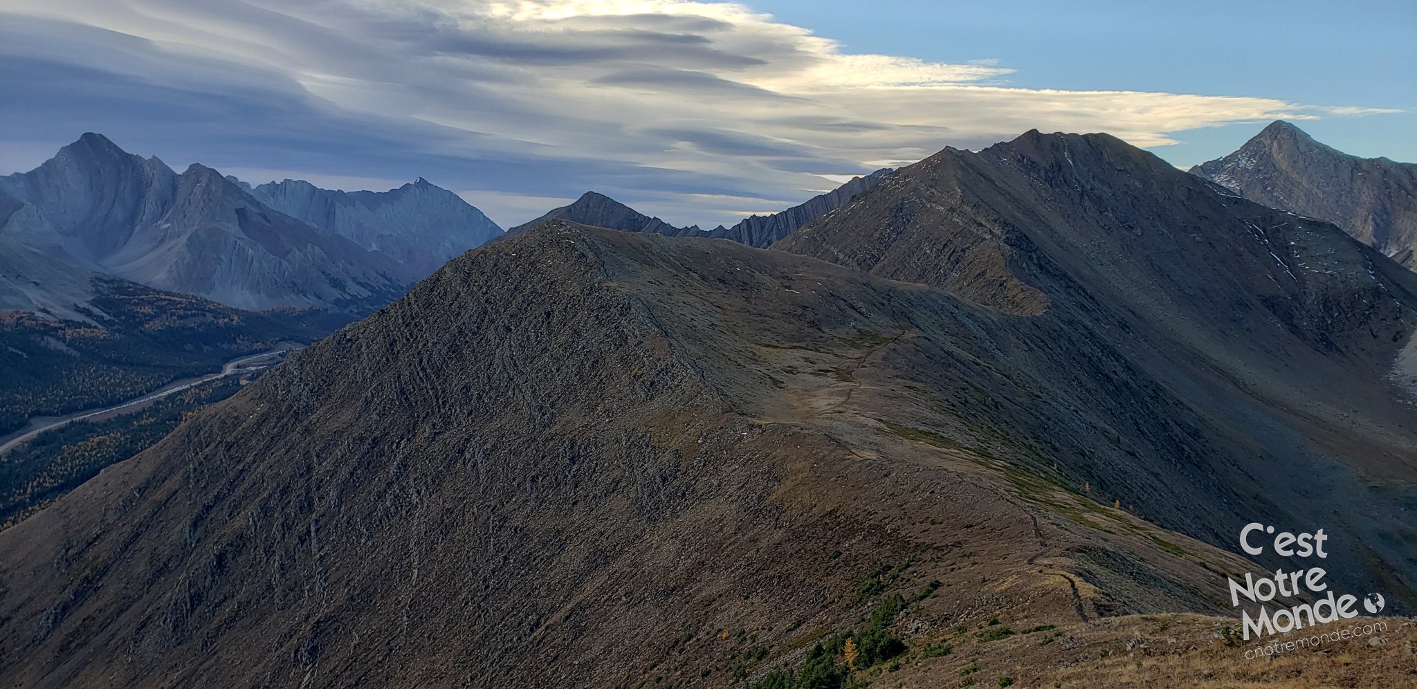
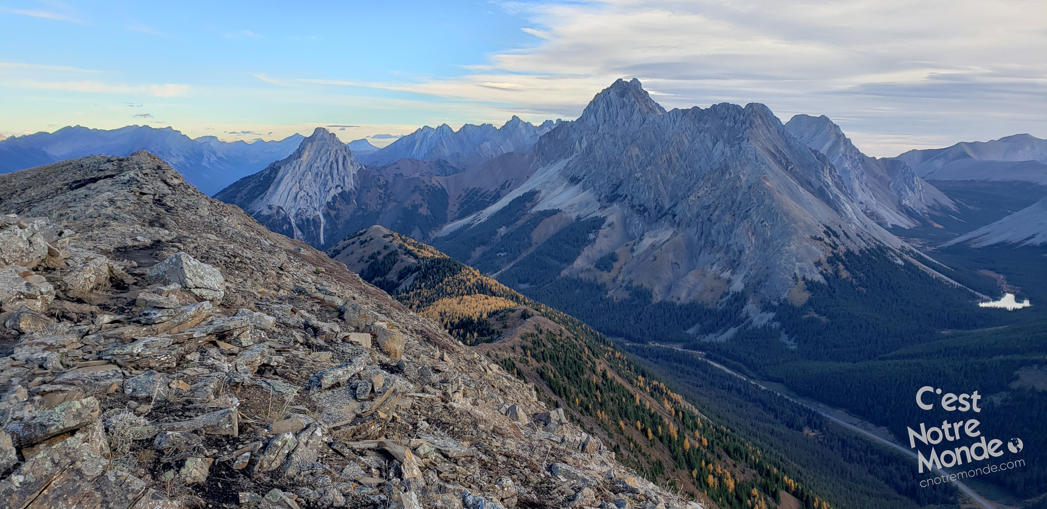
The famous Mount Pocaterra (2941 m), Mount Rae (3128 m) and Elpoca mountain (3036 m) will surround you. But more impressively, you can see the entire Pocaterra ridge on which you will be hiking for the next 4 km (2.5 mi).
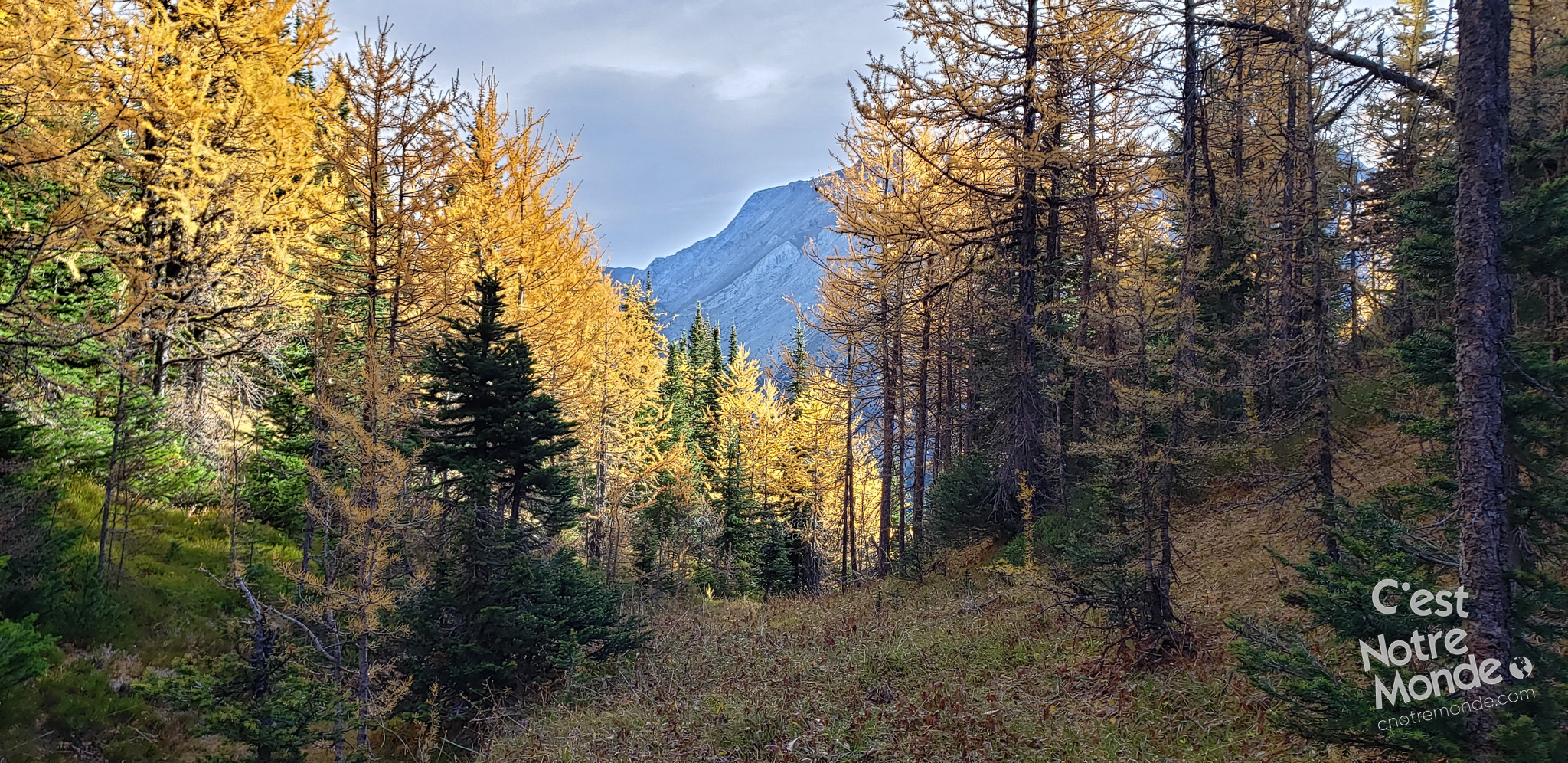
Tip: If you plan to climb this mountain in the fall during the larch tree season, expect a lot of traffic on the trails. Starting early is necessary to secure a spot in the parking lot.
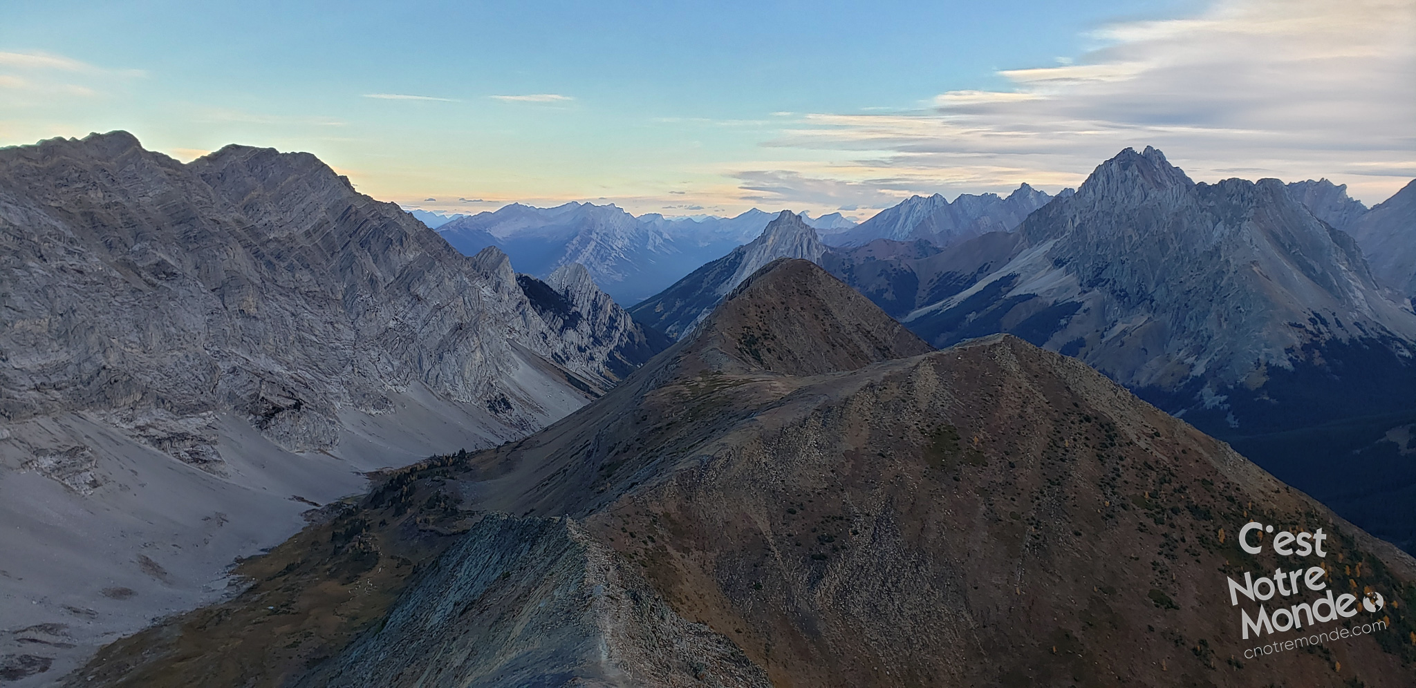
If you decide to return to the Ptarmigan Circle parking lot, you will just need to retrace your steps for your way back. If you have parked another vehicle at the Point B “Little Highwood parking lot”, then your hike continues along the ridge with frequent upward and downward climbing. There are a few steep and exposed sections but nothing technical. Just take your time and enjoy the panorama.
After 4 km, a steep descent through a forest will take you to the 40 South highway. Little Highwood parking lot is located across the road.
TO KNOW
Interest
Difficulty
Distance
Around 10 km (6.2 miles)
Duration
6 hours
Elevation
2667 meters / 8750 feet
Height difference
Approximately 700 meters / 2300 feet
Useful informations
See on Caltopo (detailed)
See on Google Maps (basic)
Useful links
Website: https://www.albertaparks.ca/parks/kananaskis/kananaskis-country/advisories-public-safety/trail-reports/peter-lougheed/pocaterra/
Parking:
Start: https://goo.gl/maps/7LcZsidiSv34miWH7 (Pocaterra Ridge)
Arrival: https://goo.gl/maps/yH837TKV62JaMKba9 (Little Highwood)
Weather forecast: https://www.mountain-forecast.com/peaks/Mount-Pocaterra/forecasts/2941
Download GPX: https://www.cnotremonde.com/gpx/Pocaterra-Ridge-AB-cestnotremonde.gpx