Alberta
Porcupine Ridge
Introduction
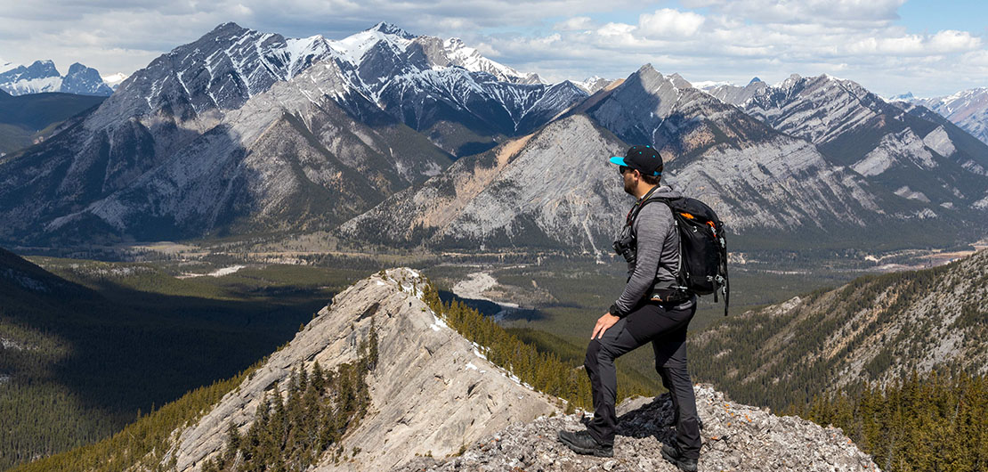
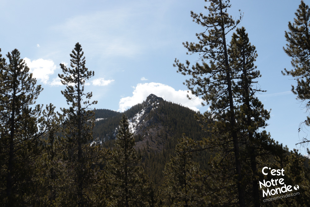
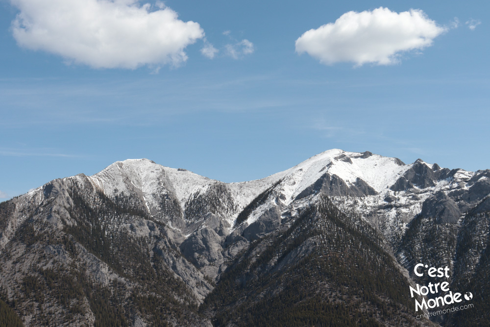
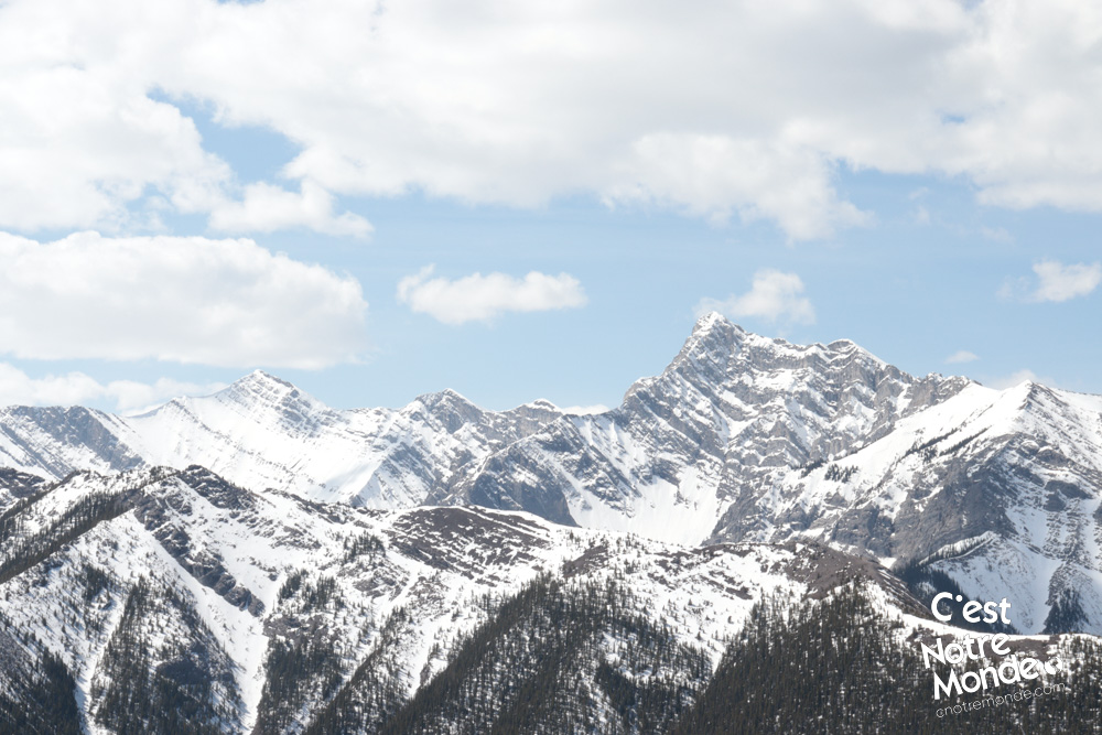
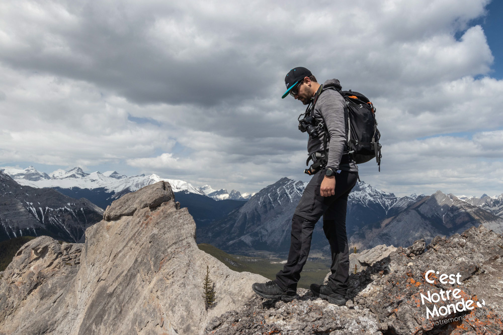
Do you enjoy hiking mountain ridges? Porcupine Ridge is the one for you. Just 1 hour away from Calgary, this 2206m high mountain offers a unique experience with some easy scrambles and impressive panoramas. Located between Wasootch Ridge and Midnight Peak, C’est Notre Monde takes you to a charming ridge to hike in Kananaskis Country.
3D interactive map
Getting to Elbow-Sheep Wildland Provincial Park
Porcupine Ridge Hike Parking Access: https://goo.gl/maps/UQn9D21wvmwhr6Zs6
From Calgary: 92 km – 1h05 driving time
Take the Trans-Canada hwy AB-1 West toward Banff for 50 km until the 118 exit toward Kananaskis Country. Follow the AB-40 South for 18 km. The ‘Wasootch Day Use Area parking Lot’ will be on your left. This will be your starting point.
Helpful information
To enjoy your hike, you must:
Be Equipped: Hiking boots are a necessity. A steep section of this hike (an easy scramble) requires ankle protection. Hiking poles are also recommended on your way down. Grizzlies are usually present in the area, therefore bear spray should be easily accessible in the case of unexpected encounters. Finally, always bring water and food in sufficient quantities.
Parking: The ‘Wasootch Day Use Area parking Lot’ will be your starting point. We have seen cars parked closer to the mountain along the road but it does not seem to be an “official” parking lot.
Information: Access to Kananaskis Country is not free. You will need to register your vehicle(s) online on the Kananaskis park website and purchase a daily or annual pass. Note that the fees are per vehicle and not per hiker, so carpooling is an option. Be mindful of the forecast and visit the park’s website before your hike to find up to date information such as last seen wildlife, trail conditions, etc.
The Hike
Be aware! The Porcupine Ridge trails are not tagged and can be hard to find. Taking a GPS or a detailed map with you is recommended.
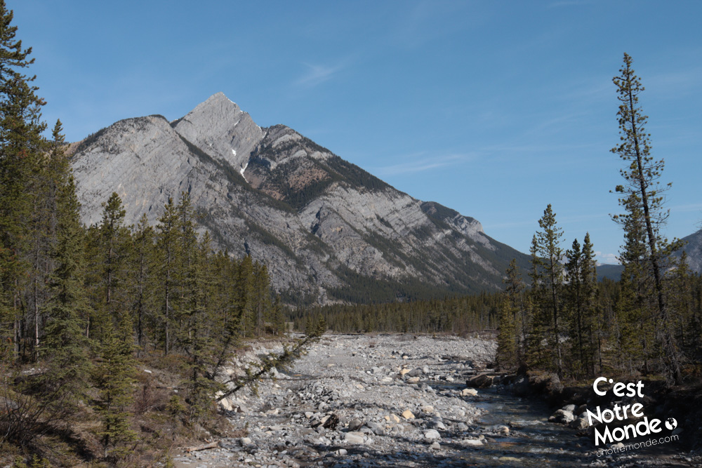
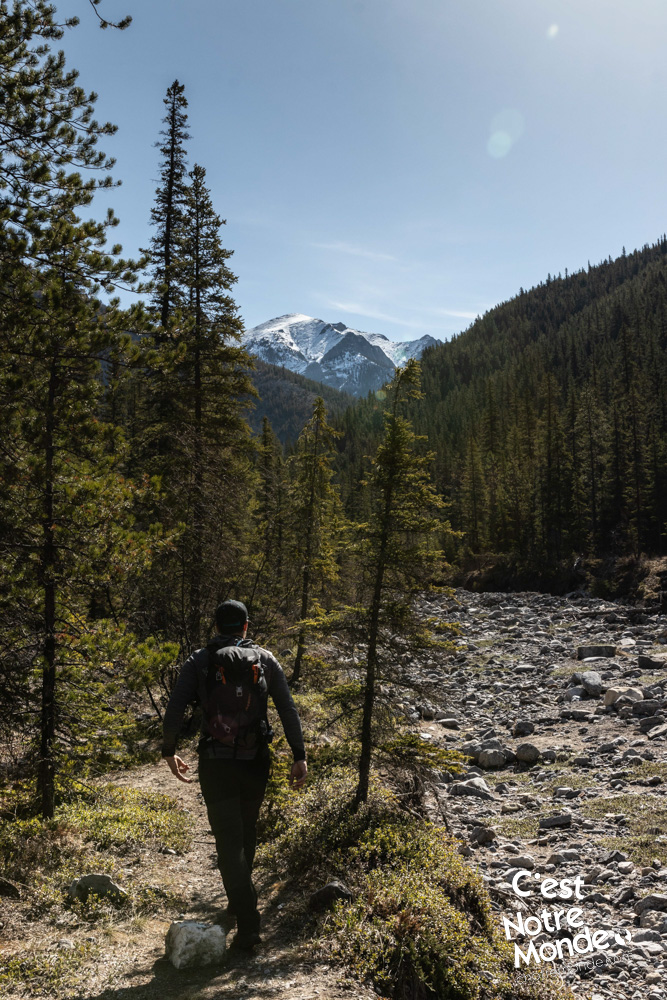
Take the “Porcupine Trail” from the parking lot. It leads into the forest and will follow the road at a distance (in the woods) for 1.7km (1.1 mi). This section is mostly flat then leads down to a creek with a wooden bridge crossing. To avoid crossing the rivers several times, do not cross the bridge, instead turn right and follow the river’s shore. This is where the GPS or map becomes useful. The trail follows the river on the right for 650m (0.4 mi). The river then separates in two. The trail to Porcupine Ridge is located just after this junction, right between the two rivers. Once found, it is easy to follow the rest of the way.
The Porcupine Ridge trails are not tagged and can be hard to find. Taking a GPS or a detailed map with you is recommended.
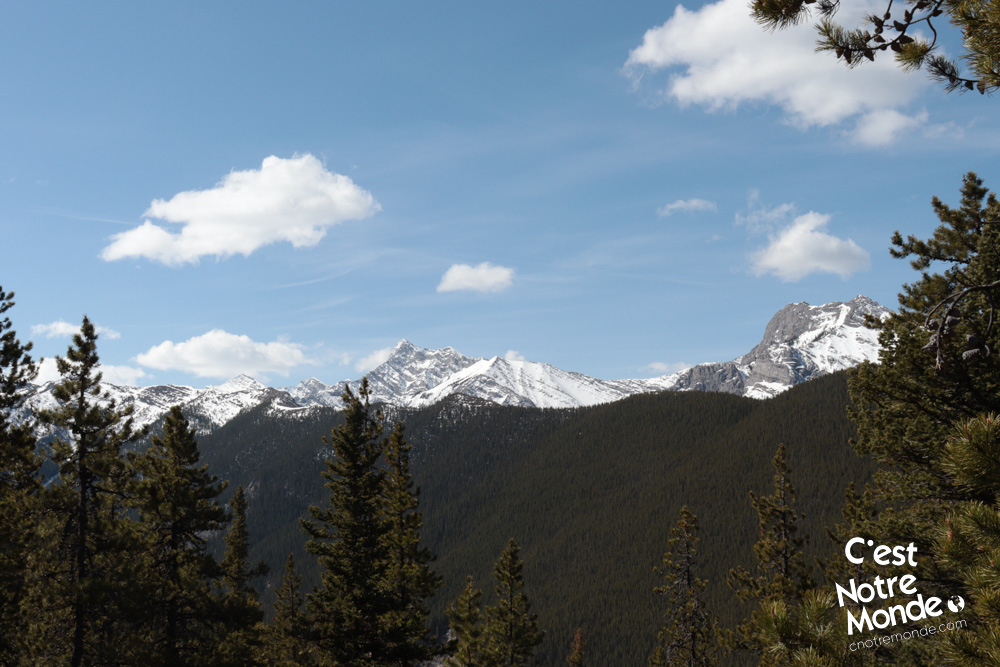
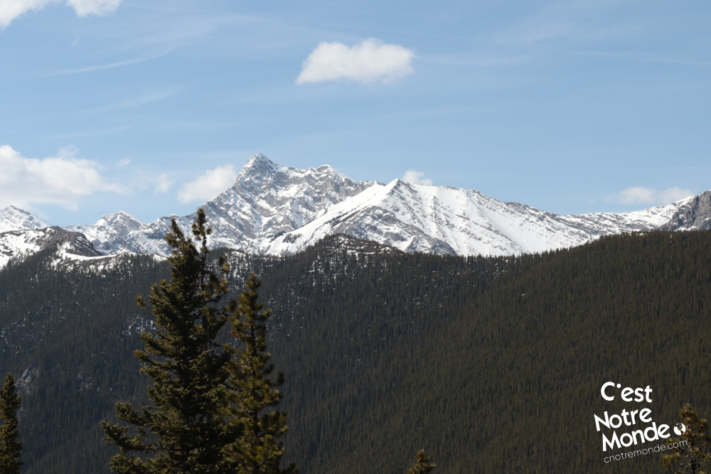
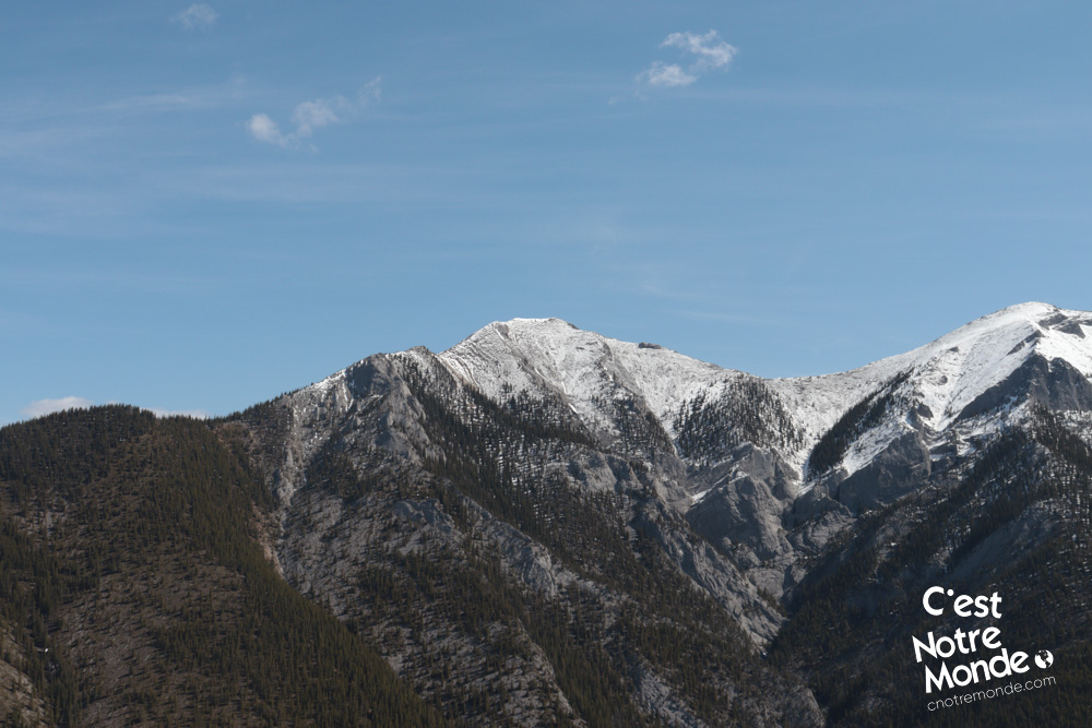
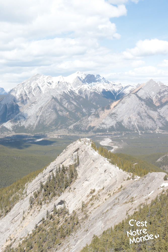
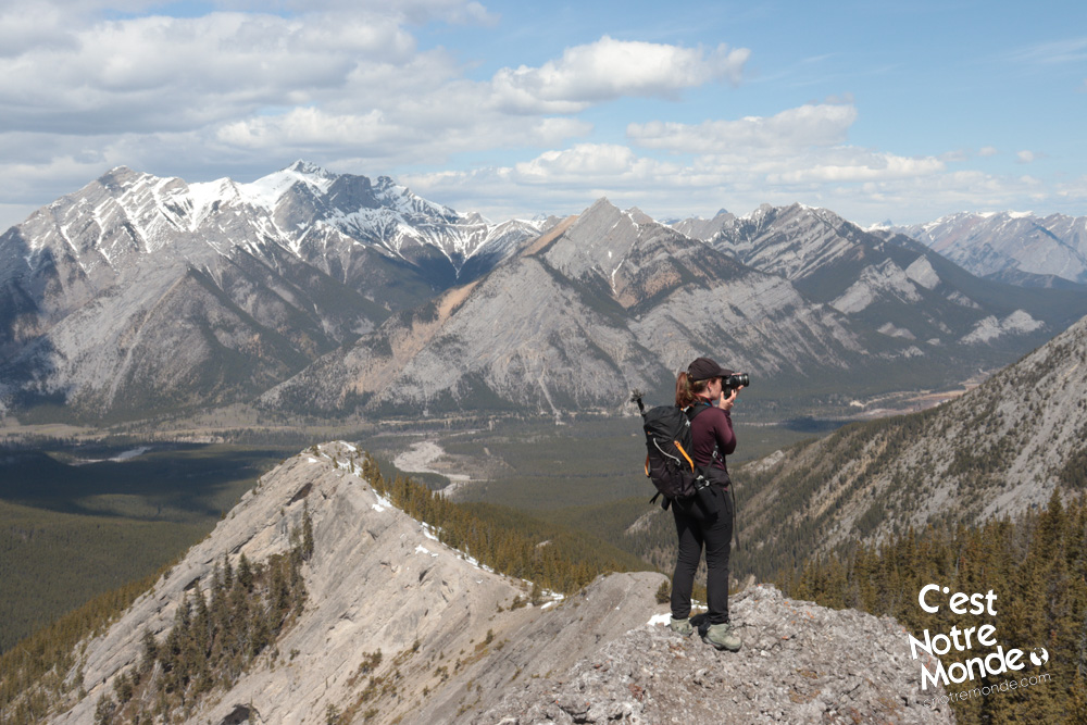
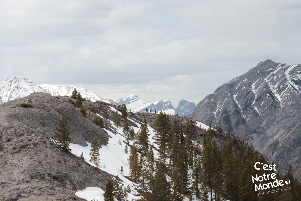
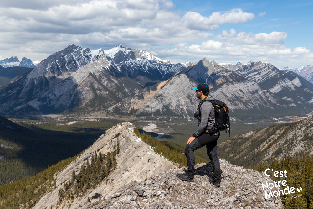
At this point, the forest trail climbs abruptly. You will climb approximately 270m in 1km before reaching an open area. This is the beginning of the ridge and the panorama views. The trail will continue to climb along the ridge but the 360 degree-view will make you forget the pain. Several slightly exposed sections will require you to use your hands. If you have a fear of heights, you might have some cold sweats.
Several slightly exposed sections will require you to use your hands. If you have a fear of heights, you may have some cold sweats.
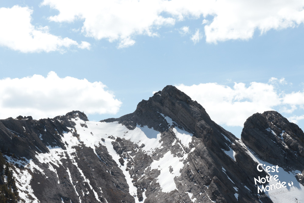
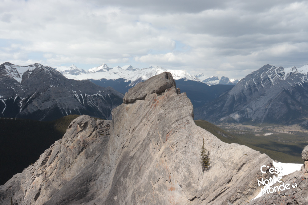
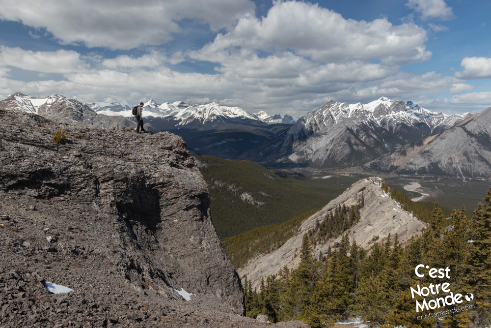
After 1.5km of walking up the ridge, you will reach a rocky step that gives the illusion you have reached the summit. However, the highest point of the ridge is located another 500m (0.8 mi) further. You will need to go through a forest section to get to it. A cairn (a man-made pile of rocks) marks the summit. Many hikers make the decision to stop at the rocky step as the view is way more impressive than the real summit.
If you feel courageous (and are an advanced scrambler), you can continue on the ridge past the summit. However these sections are quite exposed and require scrambling experience, and no fear of heights!
Retrace your steps to get back to the parking lot.
TO KNOW
Interest
Difficulty
Distance
Approximately 10,6 km / 6.6 miles
Duration
4 hours
Elevation
2260 meters / 7415 feet
Height difference
750 meters / 2464 feet
Useful informations
See on Caltopo (detailed)
See on Google Maps (basic)
Useful links
Website: https://www.albertaparks.ca/parks/kananaskis/kananaskis-country/
Parking: https://goo.gl/maps/UQn9D21wvmwhr6Zs6
Weather forecast: https://www.mountain-forecast.com/peaks/Mount-Baldy-Alberta/forecasts/2192
Download GPX: https://www.cnotremonde.com/gpx/Big-Sister-AB-cestnotremonde.gpx