 Alberta
Powderface Ridge
Introduction
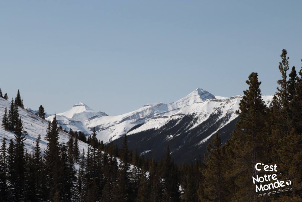
At 2210 meters, Powderface Ridge is a mountain located in the Bragg Creek region, more specifically, in the Kananaskis County Public Landing Zone. Here, we propose an itinerary accessible in both the winter and summer months that travels through Powderface creek. A long walk is necessary to access the base but your efforts will be rewarded with a magnificent view of the Rockies.
3D interactive map
Getting to Elbow-Sheep Wildland Provincial Park
Powderface Ridge Hike Parking Access: https://goo.gl/maps/J9pUYzBJcV724dyb6
From Calgary: 67 km – 50 min driving time
From the Trans-Canada hwy AB-1 West toward Banff, take exit 118 toward Bragg Creek. Follow the AB-22 South (Cowboy Trail) until the end of the road (for approximately 21 km). Turn right on the AB-66 West and follow this road until you reach a sign that indicates the Forgetmenot Pond parking lot, about 18.5 km away.
Helpful information
To enjoy your hike, you must:
Be Equipped: Hiking boots are recommended. Grizzlies are usually present in the area, therefore bear spray should be easily accessible in the case of unexpected encounters. Always bring water and food in sufficient quantities.
Information: Access to Kananaskis Country is not free. You will need to register your vehicle(s) online on the Kananaskis park website and purchase a daily or annual pass. Note that the fees are per vehicle and not per hiker, so carpooling is an option. Be mindful of the forecast and visit the park’s website before your hike to find up to date information such as last seen wildlife, trail conditions, etc.
The Hike
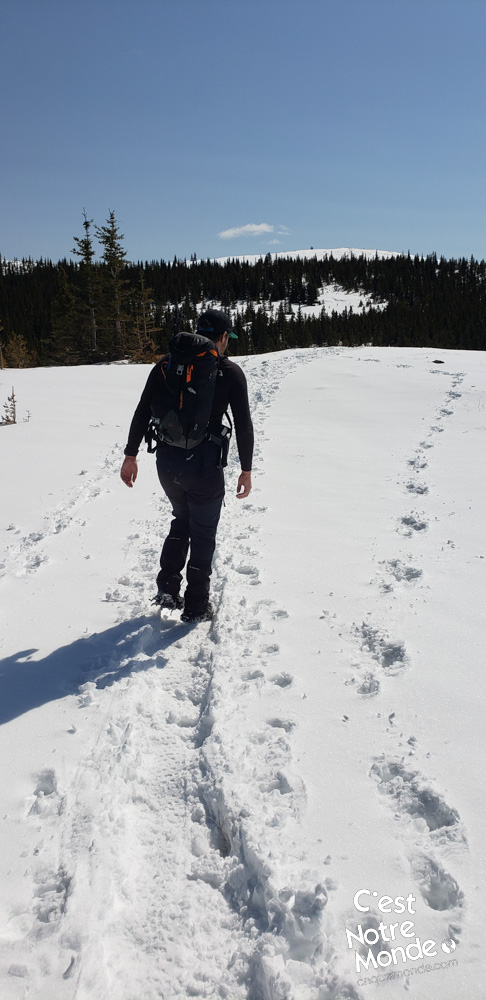
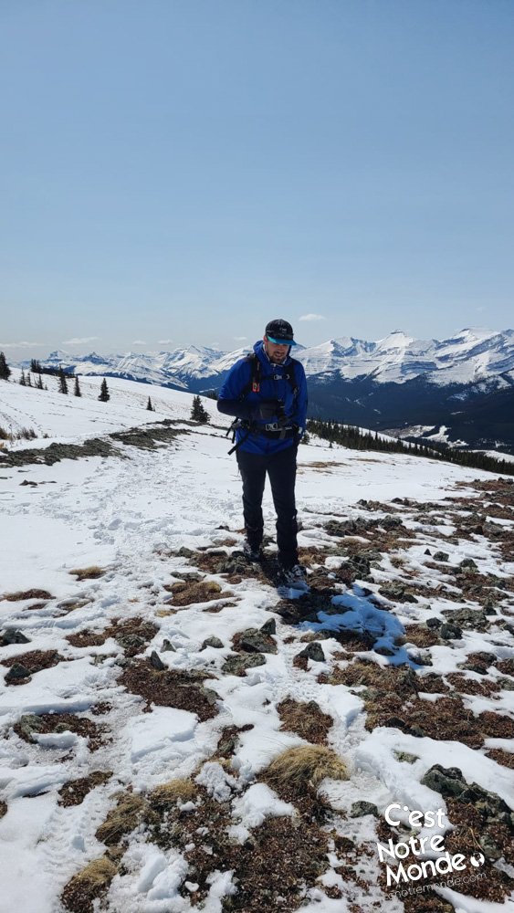
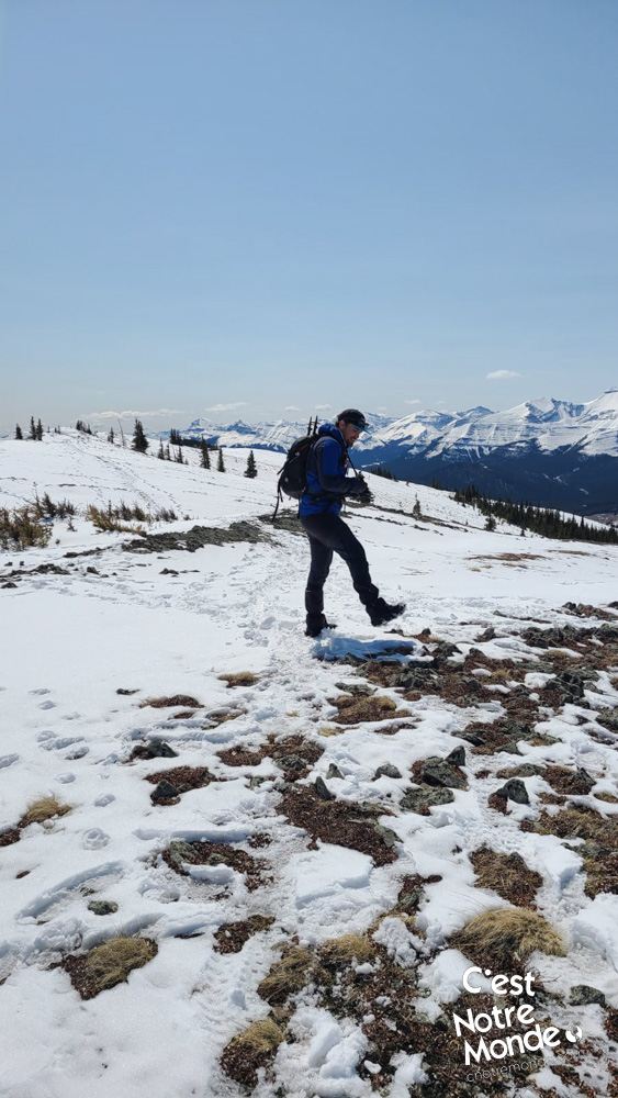
This hike begins in the forest leading to the base of the ridge, which can feel quite long. After 3km (1.9 mi) you will reach an intersection with a wooden sign indicating “Powderface creek”. Continue straight for another 3km (1.9 mi) to reach a pass that will lead you to Powderface Ridge. This section gradually climbs without notable difficulties.
This hike begins in the forest leading to the base of the ridge, which can feel quite long.
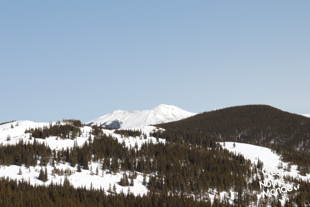
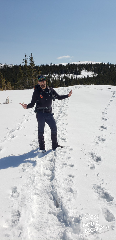
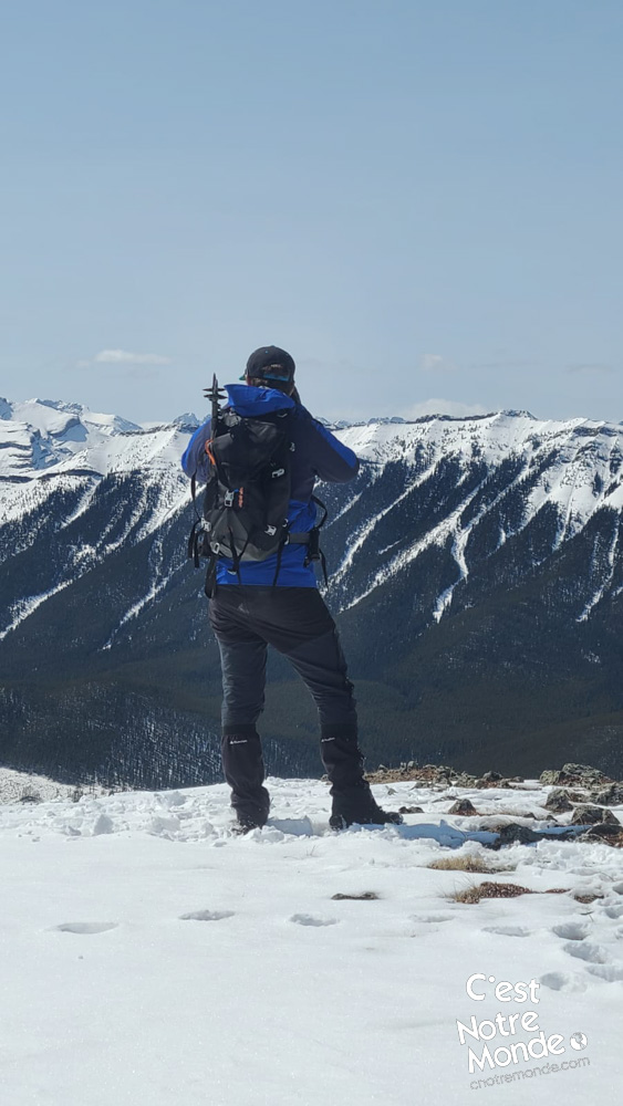
Once at the pass, take the trail on the left. A few meters further, it separates again into two other trails. The left leads to Powderface Ridge, the right, to a small summit that is worth the detour: the “Powderface NW summit”. The view at the top is wonderful and adds just 1.2km to your trip.
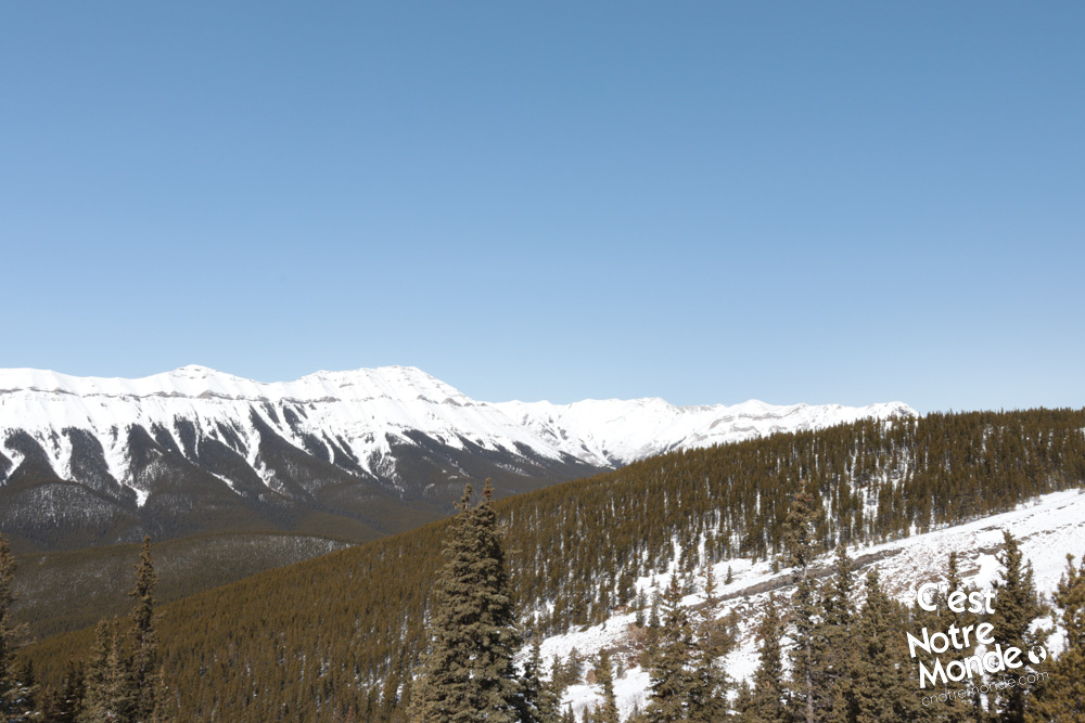
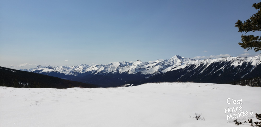
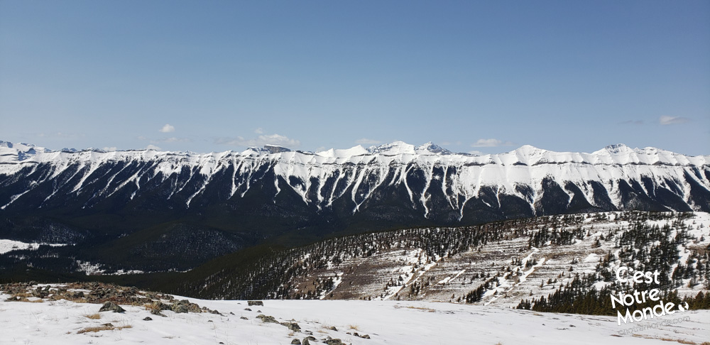
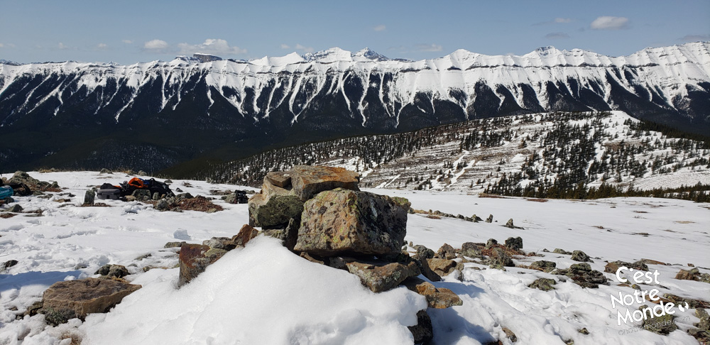
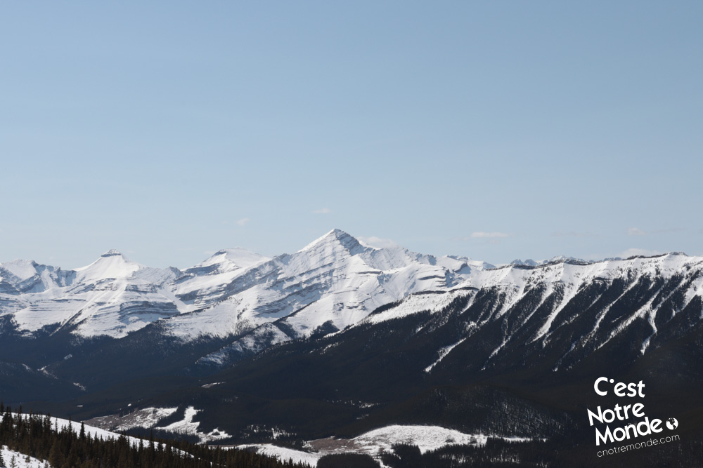
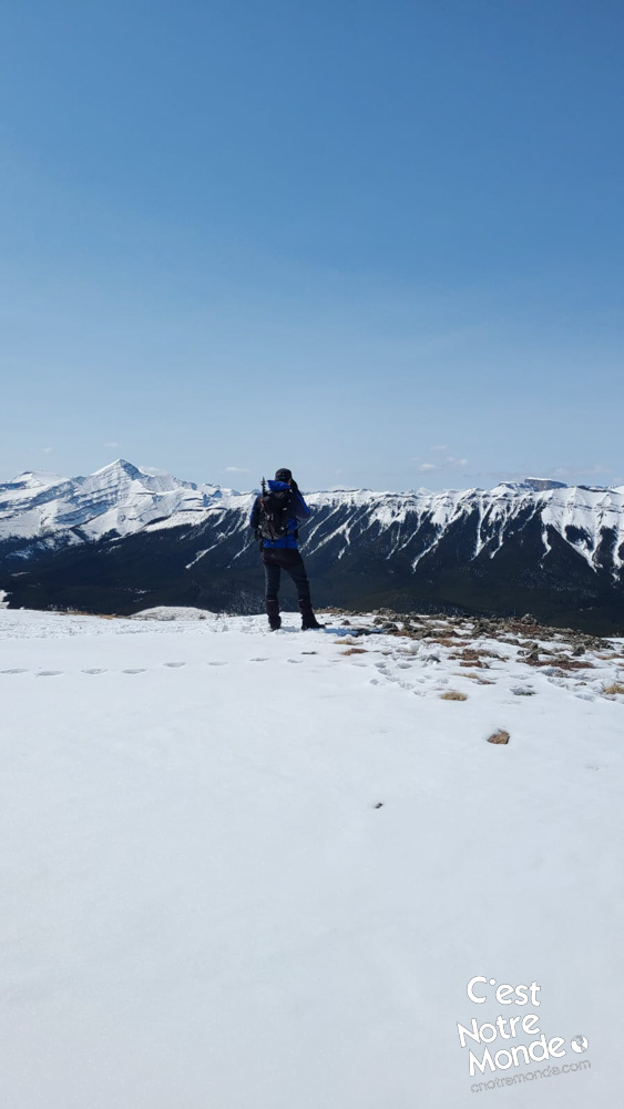
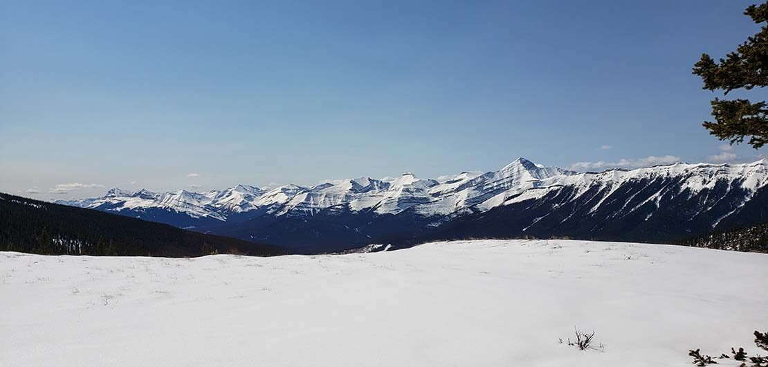
After your visit to the NW summit, retrace your steps and take the trail to Powderface Ridge. Tree-cover thins until you reach an open area with a beautiful view of the Rockies. After 2km (1.3mi), you finally arrive at the Ridge! The Panorama is extraordinary. Standing between the Rockies and Prairies, you have a clear view of Forgetmenot Mountain and Prairie Mountain.
The Panorama is extraordinary. Situated between the Rockies and Prairies, you have a clear view of Forgetmenot Mountain and Prairie Mountain.
To return to your car, you have two options: Continue along the ridge and reach the AB-66 with a small trail. This involves a 9km walk (5.6 mi), mostly along the road. Or you can retrace your steps (8.5km/5.3 mi).
TO KNOW
Interest
Difficulty
Distance
Approximately 18,6 km / 11.6 miles
Duration
6 hours
Elevation
2210 meters / 7250 feet
Height difference
Around 833 meters / 2735 feet
Useful informations
See on Caltopo (detailed)
See on Google Maps (basic)
Useful links
Website: https://www.albertaparks.ca/parks/kananaskis/kananaskis-country/
Parking:
In winter: https://goo.gl/maps/o78jnowLx5G4kdpa9
In summer: https://goo.gl/maps/J9pUYzBJcV724dyb6
Weather forecast: https://www.mountain-forecast.com/peaks/Moose-Mountain-Alberta/forecasts/2437
Download GPX: https://www.cnotremonde.com/gpx/Powderface-Ridge-AB-cestnotremonde.gpx