 Alberta
King Creek Ridge
Introduction
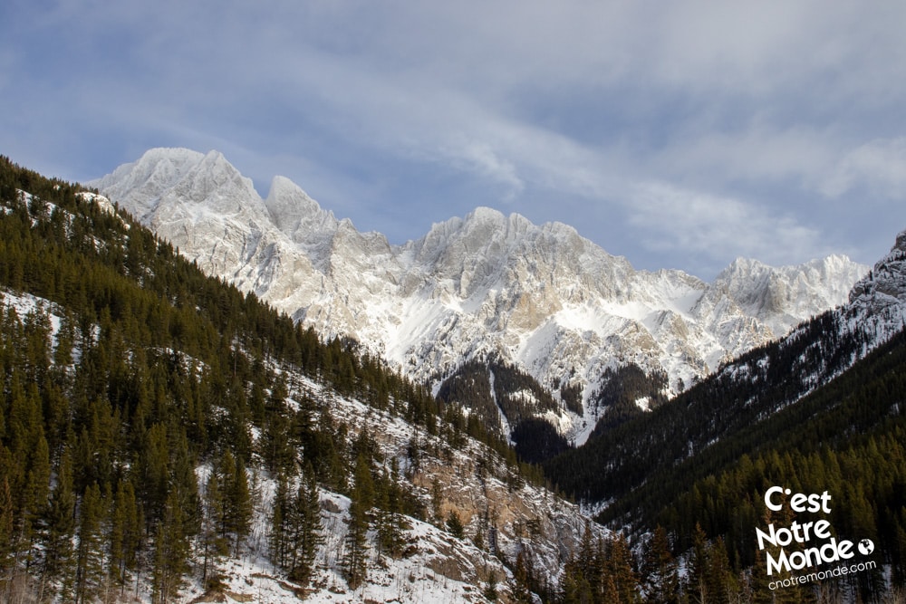
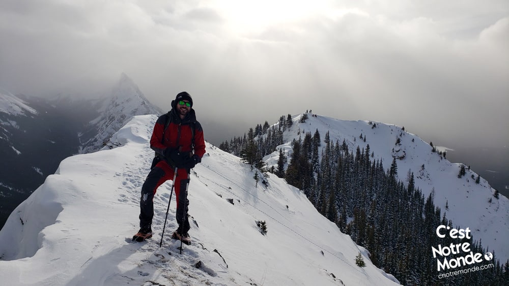
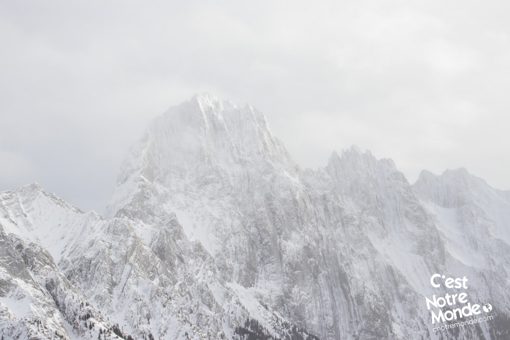
Accessible all year long, King Creek Ridge in Kananaskis Country offers a breathtaking panoramic view on its ridge. We recommend being in good physical condition for this hike because the short distance to summit this mountain at 2423 m (7949 ft) is quite the undertaking, especially in winter.
3D interactive map
Getting to Peter Lougheed Provincial Park:
Parking access to Parker Ridge hike: https://goo.gl/maps/U5HiDLb873VhLJUR7
From Calgary: 125 km – 1h34 driving time
Take the Trans-Canada hwy AB-1 West toward Banff for 50 km until the 118 exit toward Kananaskis Country. Follow the AB-40 South for 50 km. The parking lot (King Creek Day Use Area) is on the left, just before the exit toward Kananaskis Lakes.
Helpful information
To enjoy your hike, you must:
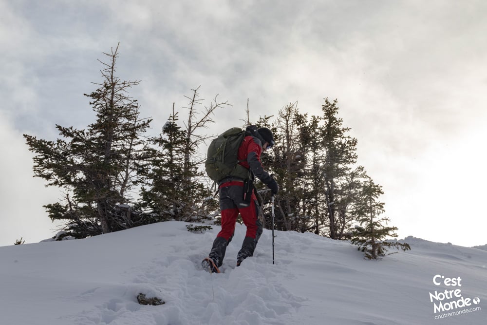
Be Equipped: Hiking boots are a necessity. A steep section of the hike (easy scramble) requires ankle protection. Hiking poles are also recommended on your way down. Bears are present in the area, therefore bear spray should be easily accessible in the case of unexpected encounters. Finally, always bring water and food in sufficient quantities. In winter, crampons are a necessity for the steep sections. Snowshoes are also necessary if breaking the trail.
Parking: The large parking lot is named “King Creek Day Use Area”. ** Note that in late 2022, early 2023, the parking lot was closed for maintenance. We had to park on the edge of the AB-40 road.**
Information: Access to Kananaskis Country is not free. You will need to register your vehicle(s) online at the Kananaskis park website and purchase a daily or annual pass. Note that the fees are per vehicle and not per hiker, so carpooling is an option. Be mindful of the forecast and visit the park’s website before your hike to find up to date information such as last seen wildlife, trail conditions, etc.
The Hike
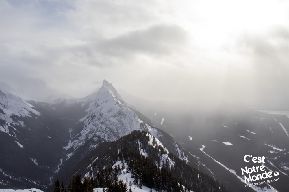
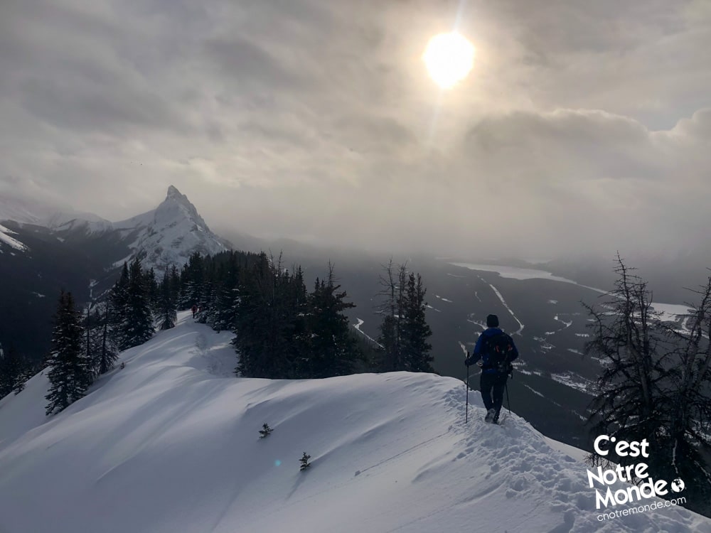
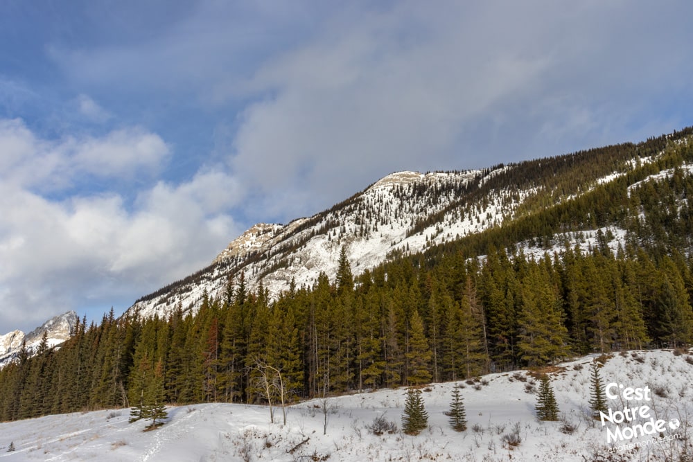
The hiking trail does not start at the parking lot. You will need to walk alongside the AB-40 road (North) for 200 meters to reach the trailhead. The trail then goes directly into the forest and starts climbing rapidly. The way up to the ridge is 1.5km (0.9 mi) with 715 m of elevation… which is quite steep. On the bright side, it offers great viewpoints, especially of the Upper and Lower Kananaskis Lakes.
We recommend being in good physical condition for hike King Creek Ridge because the short distance to summit this mountain at 2423 m (7949 ft) is quite the undertaking, especially in winter.
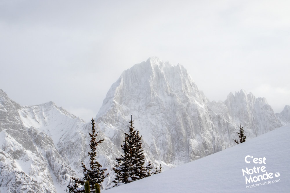
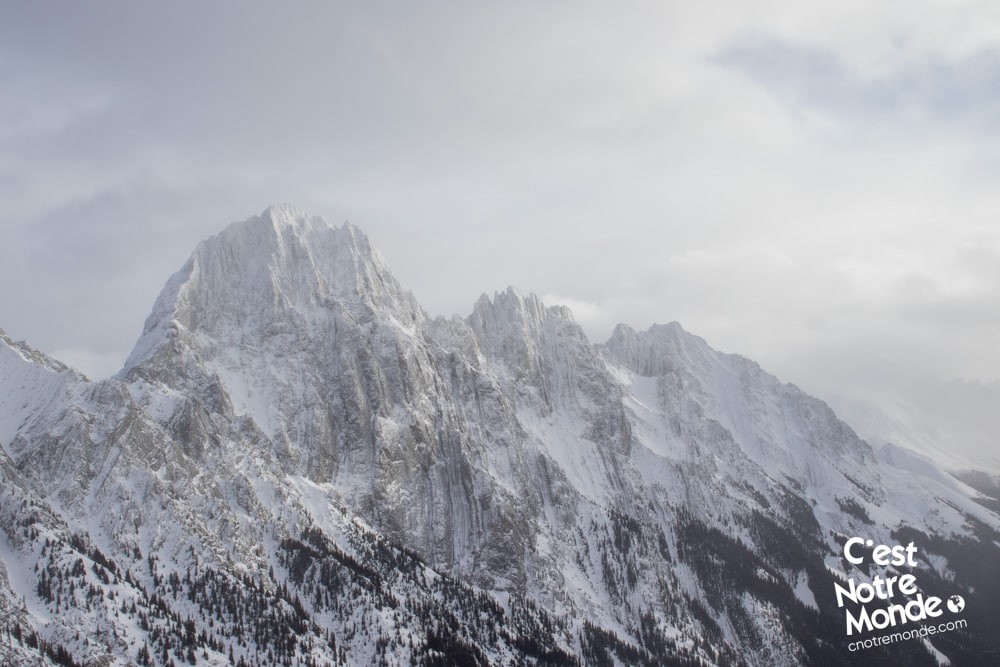
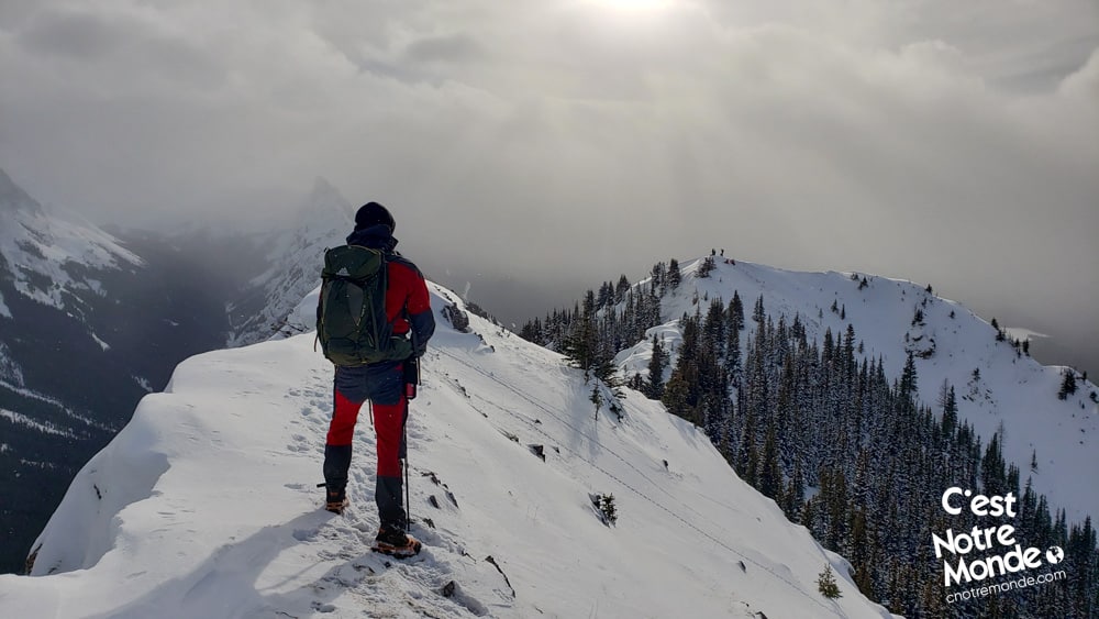
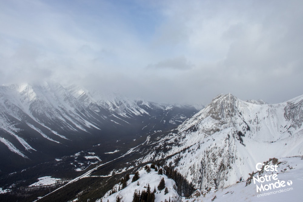
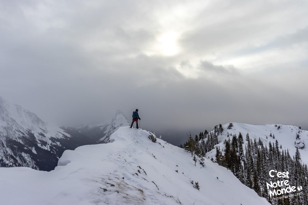
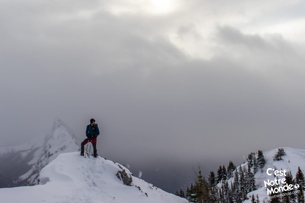
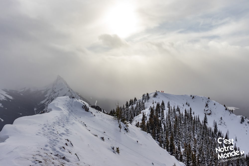
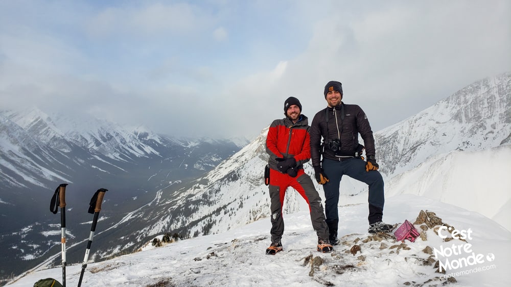
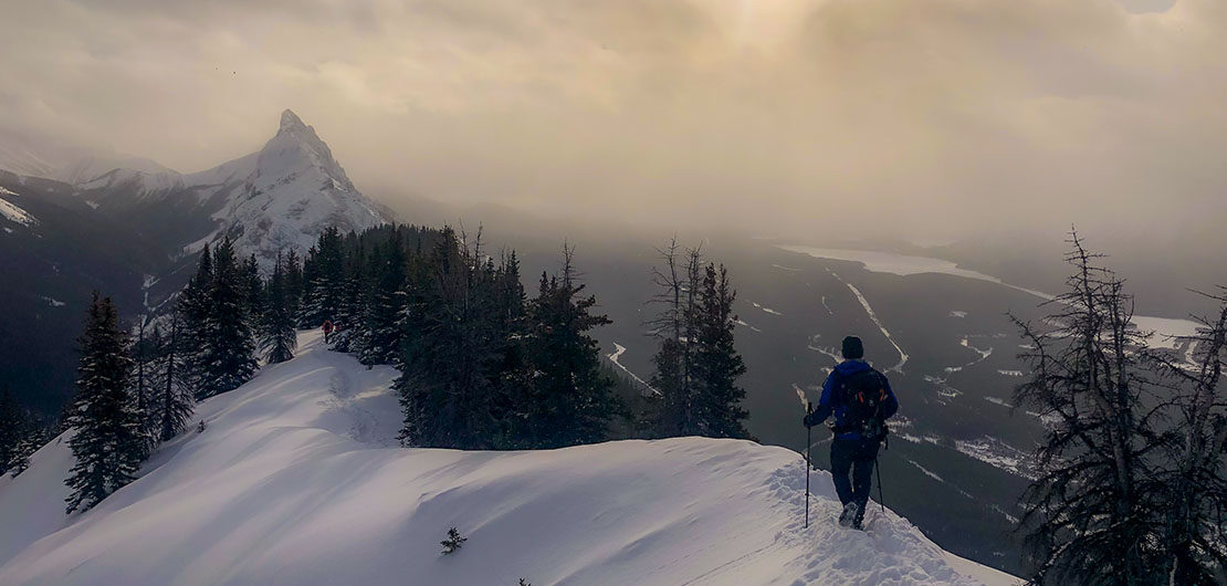
Once you reach the ridge, you will find yourself in the forest again. Follow the trail on the left to the summit. A few openings in the forest offer great views of the surrounding valleys and high summits. After 1.4km (0.87 mi) on the ridge (with a succession of ups and downs), you will reach the summit of King Creek Ridge at 2423 m (7949 ft). A 360-degree view is presented to you. You may recognize Grizzly Peak, South Lawson Peak or Kent South Peak and of course the two beautiful Kananaskis lakes.
King Creek Ridge offers a 360-degree view. You may recognize Grizzly Peak, South Lawson Peak or Kent South Peak and of course the two beautiful Kananaskis lakes.
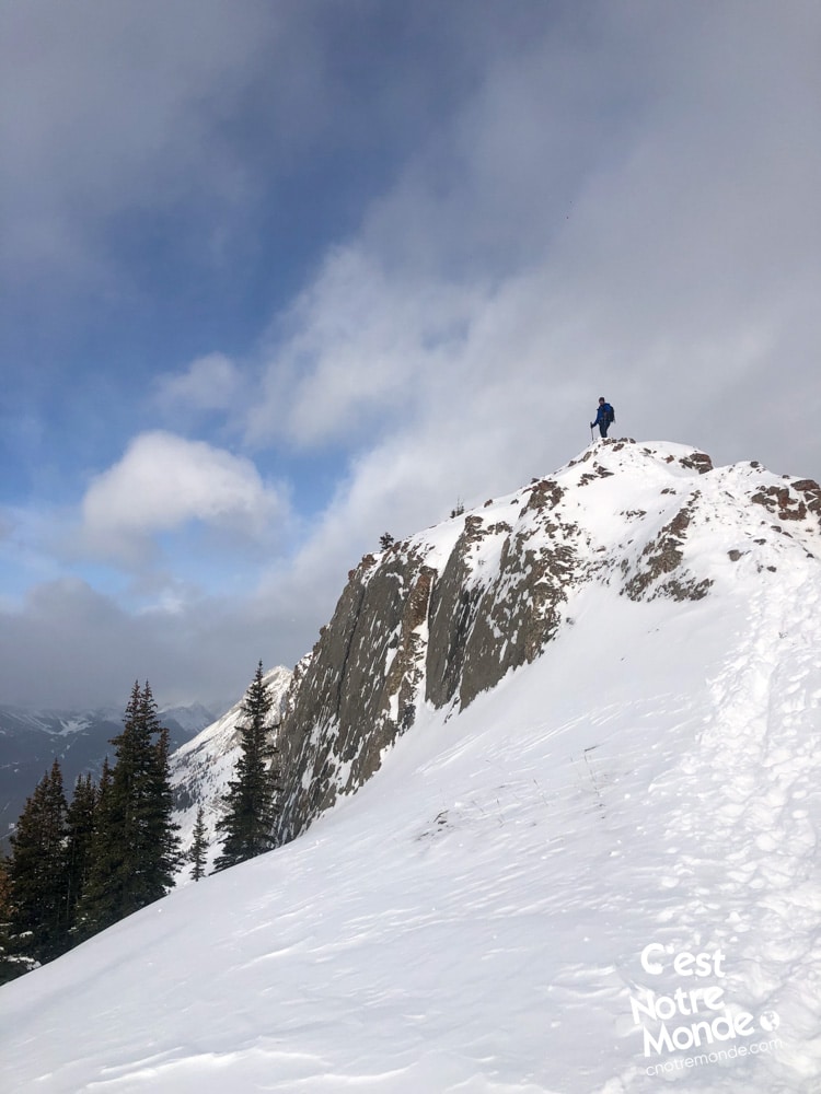
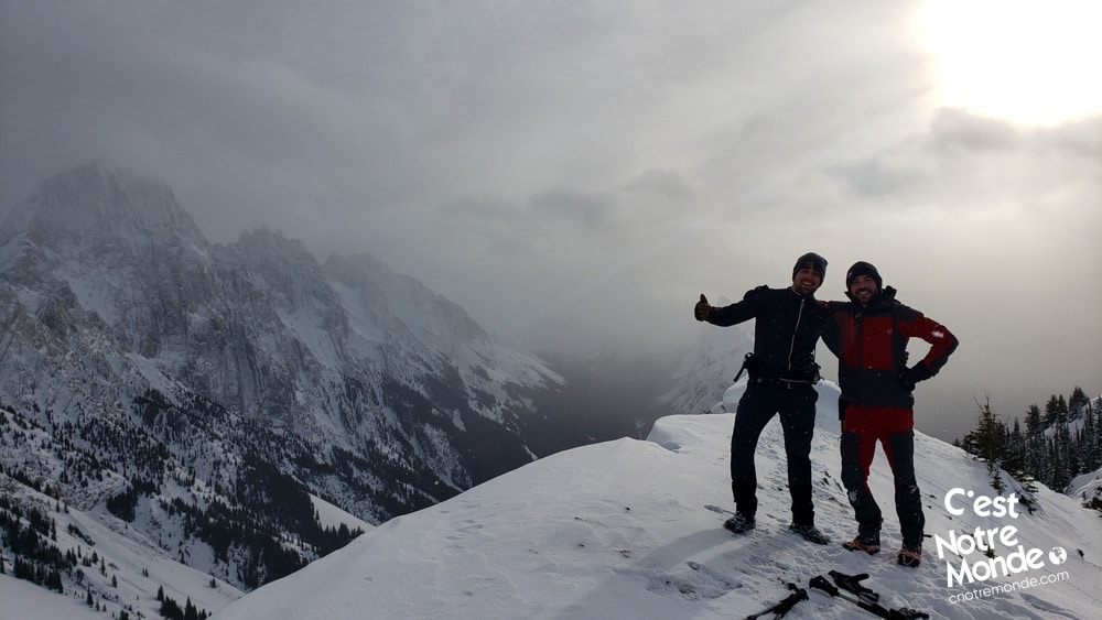
The ridge continues past this point, until a small rocky step (visible from the summit) to get to the end of your hike. Be careful when you scramble the step, it can be quite slippery in the winter and it is exposed. You will then find yourself on a small platform where the famous pink box is located and you can leave a note to immortalize your visit. Retrace your steps to get back to the parking lot.
TO KNOW
Interest
Difficulty
Distance
Approximately 6,7 km / 4.18 miles
Duration
2 to 3 hours
Elevation
2423 meters / 7949 feet
Height difference
Around 760 meters / 2489 feet
Useful informations
See on Caltopo (detailed)
See on Google Maps (basic)
Useful links
Website: https://www.albertaparks.ca/parks/kananaskis/kananaskis-country/
Parking: https://goo.gl/maps/U5HiDLb873VhLJUR7
Weather forecast: https://www.mountain-forecast.com/peaks/Mount-Athabasca/forecasts/3491
Download GPX: https://www.cnotremonde.com/gpx/King-Creek-Ridge-AB-cestnotremonde.gpx